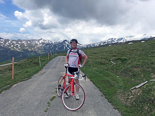
Second day and the first full day of cycling. I got in contact with Michiel van Lonkhuyzen of cyclingcols.com on the evening before, learning he was also in the area, and we decided that he joined me on my first planned climb for the day that he had also not visited before, namely the mighty Camona da Nagens (2144m) climb, which was the highest paved road in all of the Alps I had still not climbed (except some side roads and just yesterday (August 17th) realised another road in Aosta might be fully asphalted now above the height of Camona da Nagens).
I had a nice and easy start after the breakfast in Disentis/Mustér down to Ilanz (694m) through the Surselva valley. After buying sun cream I met with Michiel and we started with a coffee at a café I had visited also upon my last time in Ilanz. We then started off on the long climb and took the direct main road towards Flims but then turned off by Murschetg (1061m) and not finding any water, which I had forgotten to fill up with before, we continued ahead and went up the very narrow road that winds it way up the mountain steeply at once. It becomes a bit less steep for a while later on where a few houses are found and soon after at a bend and small bridge there was water and I stopped. Michiel had already gone ahead of me as he was obviously in a bit better shape and I surely was not in good shape and had to struggle hard. According to Michiel he had not waited for long though when I eventually got up to the top and we had some photos.
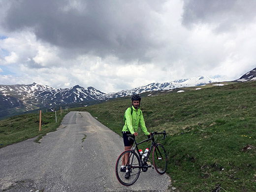
Here is Michiel with the same backdrop with the gravel road going up to the Vorabgletscher/Glatscher dil Vorab, likely increasingly harsher higher up, but did not want to explore the road as it does not really lead anywhere (it leads to the ski station and area active in the Winter up there). The pass above (Bündnerbergjoch (2613m)) is on a rocky path where it likely was snow all over at this time.
The climb from Ilanz was 15.65 km long with a height gain of 1461m and 9.4% steepness on average (11m descent). However the part up from Murschetg was the hardest at an average steepness of 12.5% for 8.5 km.
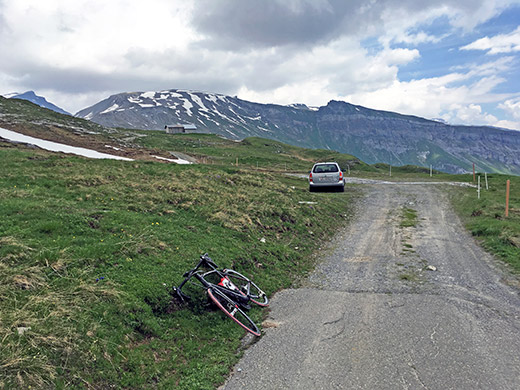
In the other direction we see the road that continues to Nagens, but it soon seems like bad gravel, even though a mountain biker came up here and continued while we were taking photos. With a mountain bike, you could go over to Segneshütte (2102m) and descend another interesting road seemingly with gravel only down to around Foppa (1424m).
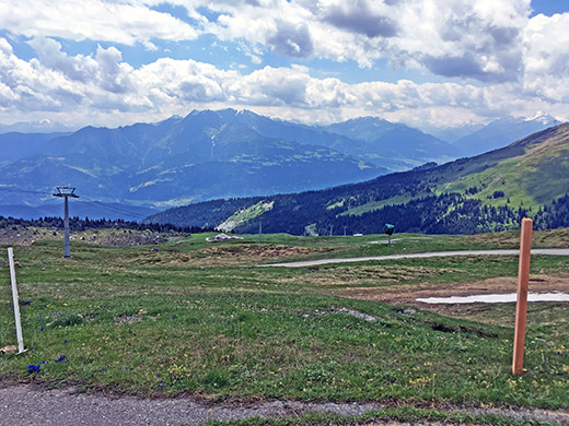
Straight across the valley below we here see the mountains between the Valser Tal and the Safiental, (none of which offers any road passes, but are both nice valleys). The Val Lumnezia (on the right to the Valser Tal) indeed has a road pass, namely the Nallpass (Alp Nova) (2074m) where the last two kilometres from 1930m is a good gravel road, but the road down the other side might be a bit bad for a short stretch (Alp Naul to Alp Prada) with a road bike (have not tried that side). The Nallpass (found the pass name in a document from a local organisation in Obersaxen) connects Lumnezia and the Obersaxen area and was the way from Obersaxen via Pass Diesrut and Passo della Greina/Pass Crap to Italy in older days.
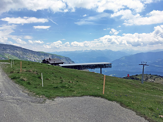
Looking in the direction of Chur/Coira and the Camona da Nagens lift staton.
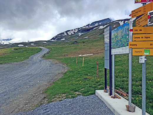
This is just below the end of the asphalt where the gravel road takes off up the Vorabgletscher – looks nice enough at the start.
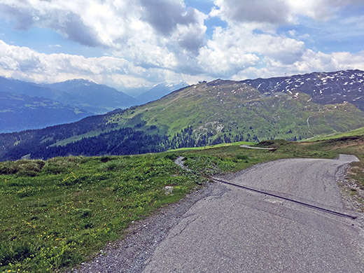
Looking up the Surselva and the last part of the climb up to Nagens.
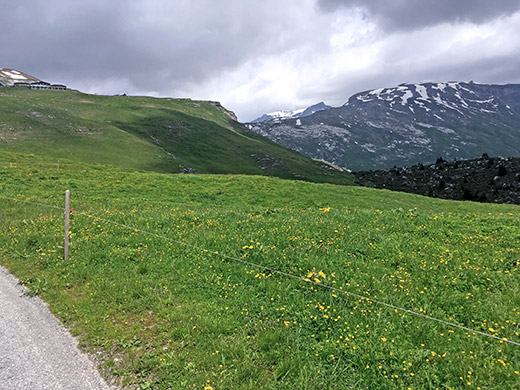
Looking back up a last time before re-entering the woods on the way down. There is the Nagens lake to the right, but hard to find a good place for a photo of it from the road (just hidden from view here).
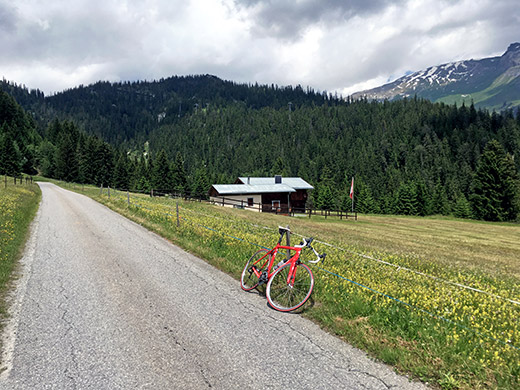
And a very last photo down from the only more flat section of the climb up from Murschetg seeing the woods ahead where the going gets tough.
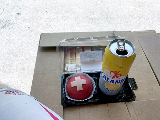
Left Michiel below Murschetg on the main road as I was going ahead here toward Chur. Soon I stopped in Flims for a little break before getting down the busy and hot Chur area. Nice lunch break by a grocery.
On a part of the road down to Chur you are supposed to climb over a small road to avoid a tunnel and for once I decided to take things easy and be rule-abiding and do so myself too. There were road works on the main road into Chur, but could then pass by cars by using the bicycle path for a change shortly. No obvious places to stop by in Chur, but this time I did see grocery shops (big though) that I had searched in vain for in the more central part of Chur upon previous visits, but continued as I wanted to get out of the city as soon as possible and anyway stopped recently up in Flims.
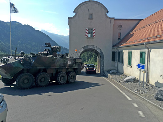
On the road toward Liechtenstein I stopped again in Zizers for coffee and something more. Then passing by Lanquart and Maienfeld on the way to the little St. Luzisteigpass (716m). Here you have to guard the border well! This site has many fortifications and is a training ground for the military, so a bit nice catching one of the vehicles passing by the narrow opening in the fortification.
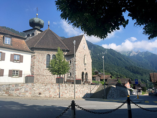
Time to catch up where I left off last year when I broke my leg on a dangerous curb built on the main road through Liechtenstein – it should be forbidden to use stones and uneven decorations of any kind on and along roads! I was on my guard now! There was a lot of traffic (as usual) on the road up to Triesenberg, where I got very tired in the heat and decided to take a break just where the road comes up from Schaan via the castle, which I was supposed to have taken last year up here, but the accident occurred just before reaching Schaan and the safer mountain road.
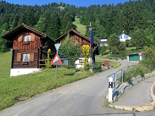
Then I continued up to where the (in)famous Sücka road takes off the main road up to Malbun. This road is steep and only gets steeper the higher up you come until you eventually reach a short narrow tunnel at Kulm/Stärnabärg (1433m). The descent on the other side is a bit steep too, but not at all as steep. I managed to get up cycling all the way, but may not have managed to do so this time unless I had stopped in Triesenberg before. Around 24% on the last ramp just as the signs so suggests here in the photo at the start.
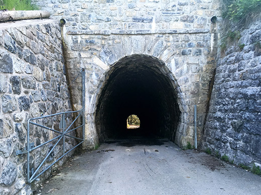
The tunnel is not flat and the climb really only stops at the other side from where this photo was taken.
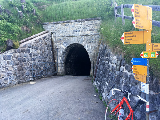
No proper pass sign here unfortunately … . Only seen a pass sign in Liechtenstein when I went up to Bargällasattel/Bargellasattel (1742m) (gravel for the last part above Gaflei).
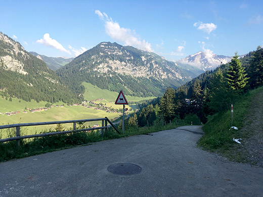
This is the view toward Malbun and Steg below. I had hoped to stay at the Berggasthaus Sücka on the way back from Malbun, but I was a bit late and the gasthaus was cold and in the shadow (and not entirely sure it was even open), so decided to try and find something reasonably priced up in Malbun (but had looked in advance and the prices up there are not as good).
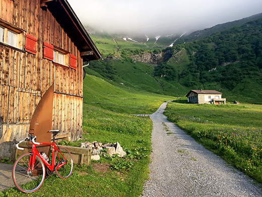
I continued up through Malbun (quite tired) and the last little ramps up on the narrow Kurrstrasse that continues up the valley was a tough ending this day, but I knew it was the last climbing for the day and the evening was nice up here. I stopped just a little after the asphalt ran out at 1705m to take some photos. The clouds only lifted later on the mountains at the end of the valley.
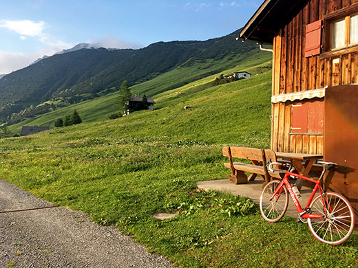
Here you can see the mountain side up toward Sareiserjoch (1991m) (which is on a footpath from the gravel road going up there).
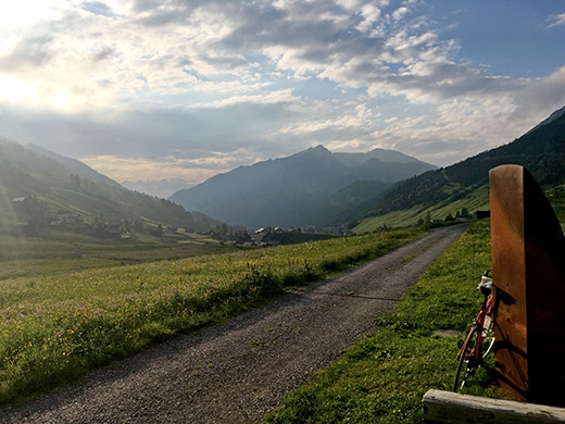
Here was the great views down the valley I had just climbed hiding most of the unexciting Malbun village from the view.
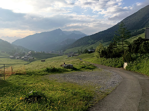
Here Malbun is seen below from where the asphalt roads begins to descend more rapidly.
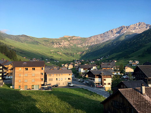
Found a hotel room that was a bit too expensive and too much for me – thought the Alpenhotel Malbun looked most unassuming up there, but unfortunately the rooms where located in a more modern building built more like an ordinary hotel. The food was good (kept it somewhat simple). One of the more expensive places I stayed at this year, so in retrospect I would recommend trying to get a room/bed instead at the Sücka berggasthaus or if you could find any other place – look at the link above to Sücka berggasthaus for more choices.
Now the clouds had lifted from the mountains, so had this last photo from the balcony outside the room before the evening dinner.
