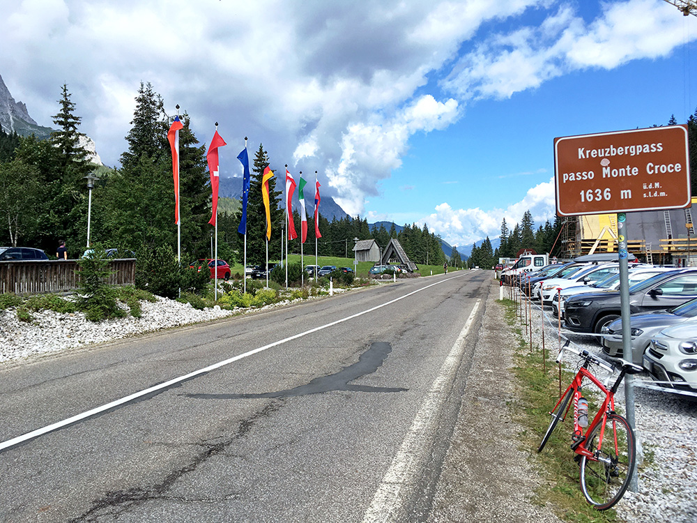
Off at 09:25 and very nice weather on this day (for long). Already several cyclists out on the road up to Passo di Monte Croce di Comélico/Kreuzbergpass (1636m), of course. It is a pass not much discussed as it is fairly easy on both sides, but it is a quite nice pass that allows access to the very most northern parts of Italy (or to Tyrol as maybe the locals would have it).
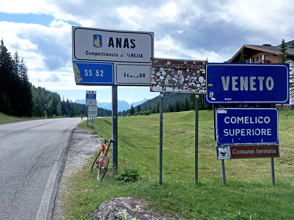
Here I look back down south a last time, but would get back south into Italian speaking areas a few days later again.
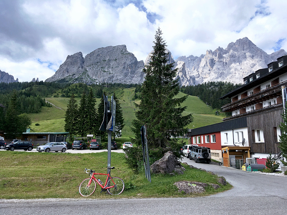
Nice dolomites mountains here. This is apparently only my 3rd passage here (other visits were in 2008 and 2010 from each side).
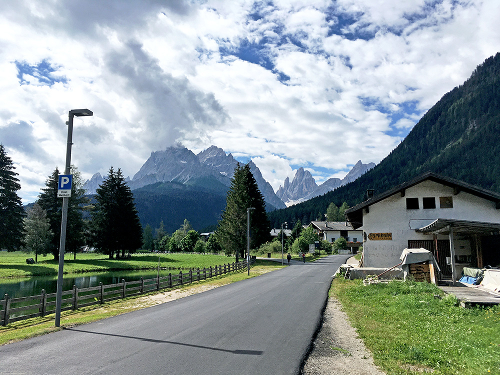
Stopped again on the way down just before Sexten/Sesto for this photo and then stopped in the village early on for a coca-cola, I think.
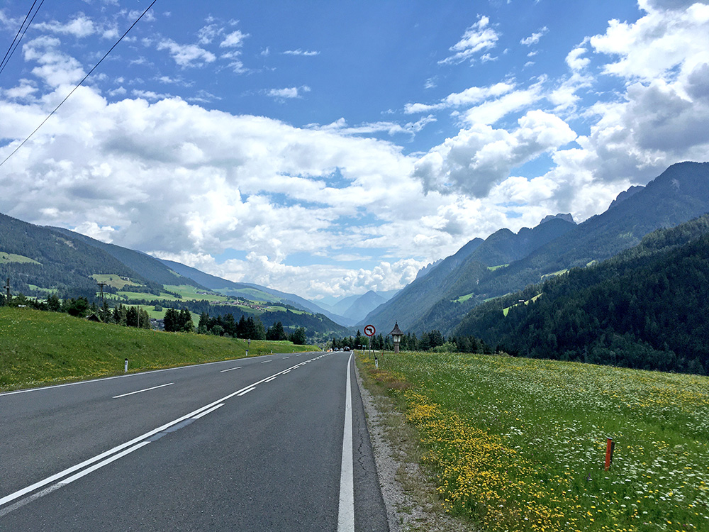
I followed the directions on my Wahoo Bolt through Innichen/San Candido (a rather Austrian village even if in Italy). Took the main road down to Austria – this is a narrow and trafficated international road and I do certainly understand if some cyclists do not feel all fine with using it (just as a few car drivers). However it is allowed and more easy to use with a road bike than the bike path that could be seen here and there. On this day it was almost even more traffic on the bike path than on the road so I was making a fairly good choice either way. Car and truck drivers are mostly quite nice, though I had one bad driver on the way back the next day (mostly just because a lorry before him was uncertain about overtaking me fast enough for that idiot spraying some water on me), but it was the only incident on my whole tour (at home in Sweden such incidents would happen much more often).
A bigger problem was that I was stung in full speed by a big insect looking like a small aeroplane sending a missile off on me – it did look like that in the 1-2 seconds I saw it. Got swollen badly on my right shoulder and it took a few days for it to become better again. The photo shows the view down the Hochpustertal/Alta Pusteria after the turn-off for Kartitscher Sattel. Soon there after an Italian (I believe) cyclist caught up with me and I speed up and hanged on to him down to Lienz. Just before entering the village there is a very short tunnel and the guy braked as hard as he could for no obvious reason with a big lorry on the outside (maybe he felt it was too close or something). I braked as much as I could but could not quite brake as much and was sure for some seconds we would both end up at the hospital, but I managed to find some space between the guys back wheel and the lorry – I had no more than 5 cm of space to both and also no more than ca. 5-10 cm in front of me, but eventually the guy ended the braking and we got out of the tunnel. I tried to alert him later on, but he did not understand English. He luckily had no disc brakes or we might both had been dead now. I should have made sure he was aware of me though, so could not blame all on him.
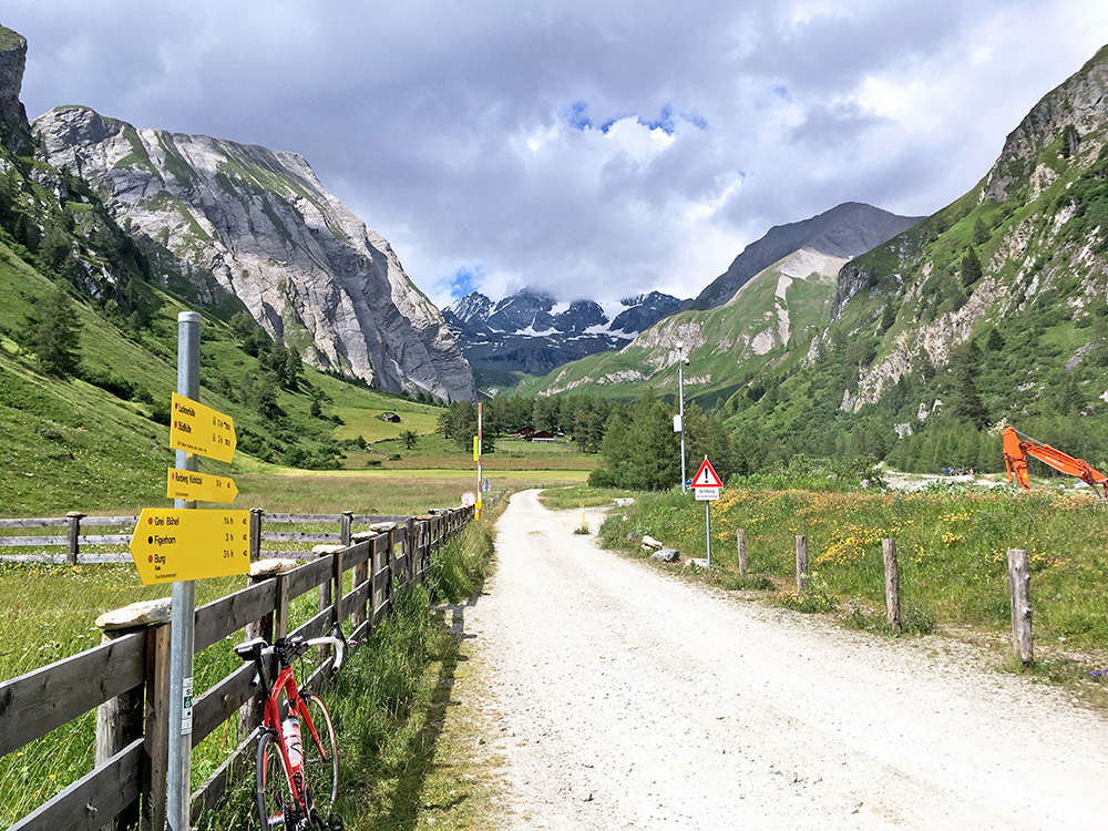
I stopped in Huben by a better looking restaurant than the one on the main road, but they were disappointing and likely the simpler café on the main road is at least as good. I saw the dangerous guy cycling by and he had apparently stopped at some place earlier (he went back to Italy over the Staller Sattel/Passo Stalle). I was on my way in the opposite direction here.
It was a rather slow climb up to Lucknerhaus (1919m) at the end of the Kalser Glocknerstrasse in Ködnitztal. Two fast young guys passed me by a bit before the end of the road and I was no where near thinking of speeding up. Just after I reached the end of the climb and saw the gorgeous Großglockner (3798m) mountain straight ahead, the clouds quickly engulfed it as I was parking the bike to take a photo. I waited a while and went back to the house from a bit higher up, but the mountain had decided to hide from my camera, which is a bummer as the main point of going up here is to have a memory of the peak (now only in my mind), but the views are easy to find on the Internet.
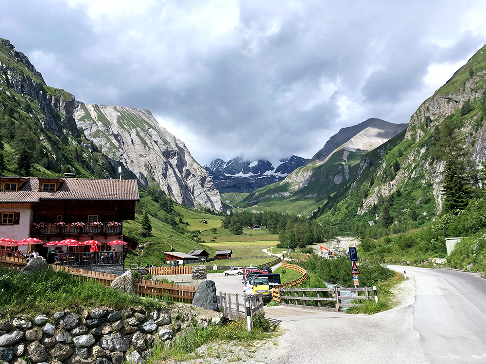
Lucknerhaus, but Großglockner still shies away, oh well, had to go. It is also a BIG climb. Still nice here though.
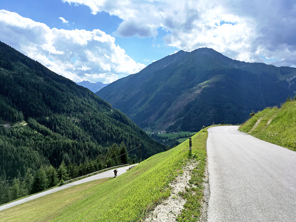
Still nice weather on the way back down, but before coming down to the main village in the valley, Kals am Großglockner, I went up another valley on a small road I was curious about.
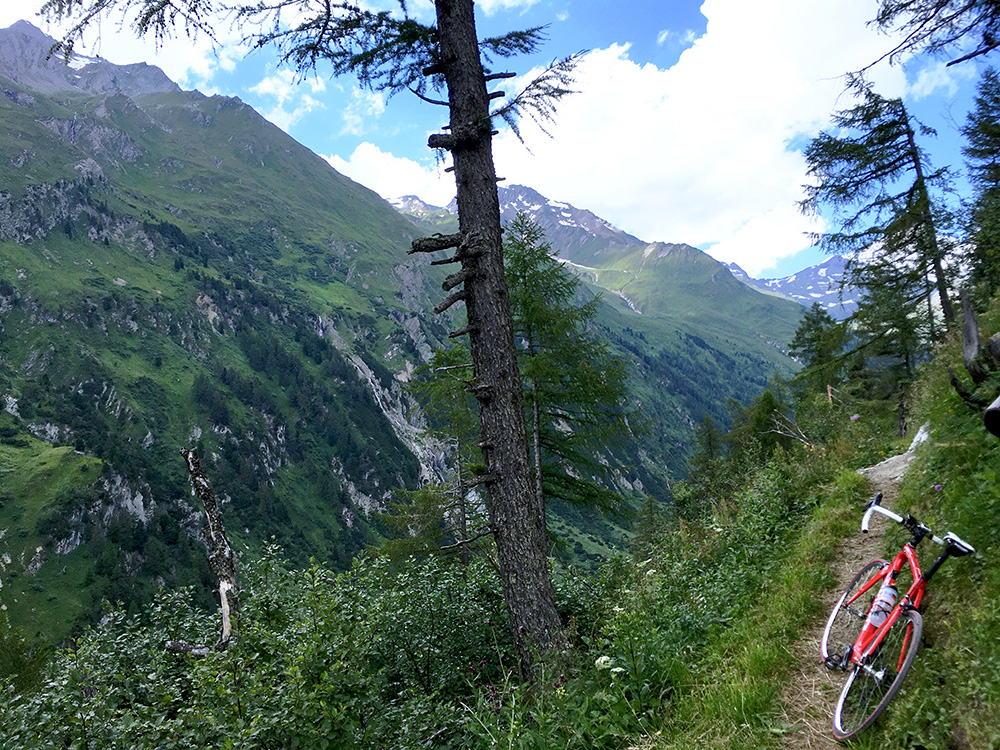
The road up to Moaalm was more interesting in that it was a smaller and steeper road (2.7 km at 11.6%) and very little traffic after a big hotel on the way. At Moaalm the road ends at 1818m and it is almost exactly 100m lower than the Kalser Glocknerstrasse, but not really easier, but both climbs are fairly easy. Great views at the end of the road and one would have wanted the road to continue further here, but only this path ahead here. One could also walk up on a path here and likely gain even better views and I was nearly doing it, but decided it was nice enough here and that I instead went back down and tried to make another climb before the end of the day.
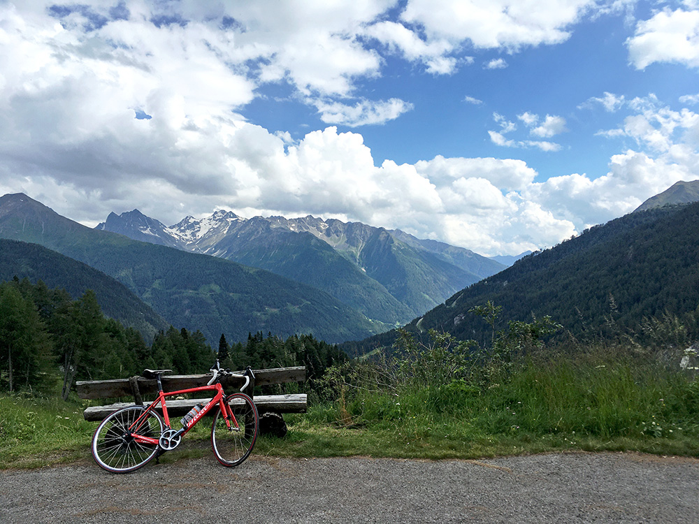
The view back from Moaalm.
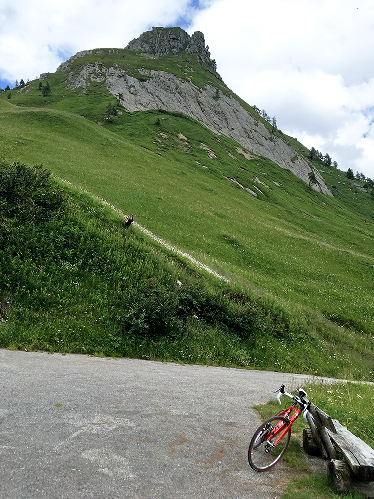
The little mountain one could walk up to at the end of the road (but the path is really to the left of the photo here).
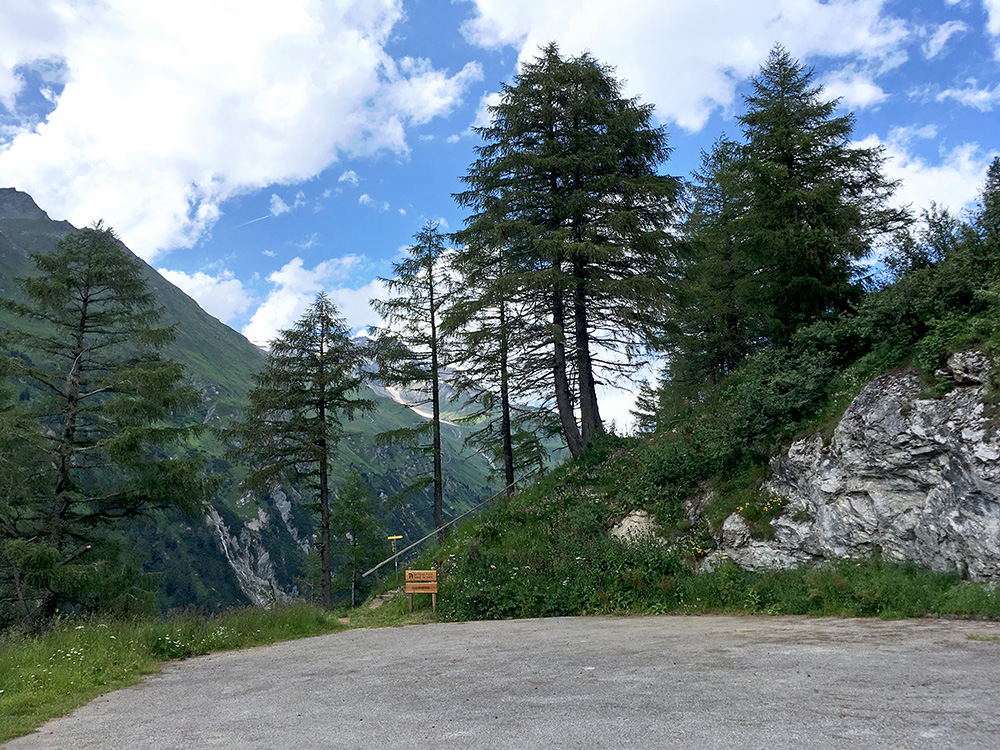
That path starts with a staircase seen here in a last looking ahead at the end at Moalm. I stopped at the house at the actual Moalm thinking they might serve something to drink, but it did not quite look like such a place with only a young couple outside that seemed to be tourists living there, so I went down to Kals and stopped by the grocery there instead.
It started to look a bit more cloudy now, but no obvious cause for concern thus far and it was a nice ride down to Huben. Again I took the main road down to Lienz, while most touring cyclists likely would take a minor road instead. I met one older road cyclist on the main road only a an old women cycling home with her groceries and enjoyed that, thinking that real people use real roads (and no damned bike paths etc., but I guess I reluctantly have to admit that they may be useful for families etc at least). Just as I met the old lady I was close to Lienz and it started to rain lightly and it was worrying. I stopped for a coffee in Lienz (678m) just by the start of the next climb, that starts from the town, to see if the rain would end or get worse – it rained on the side I came from but the road remained dry on the other side of the café.
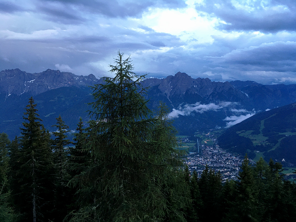
The rain stopped and I decided to go ahead up to Rottmannalm/Zettersfeld (1878m), 10.3 km at 11.8% (8.1 km at 12.5%). I took the road up through Thurn and it is fairly steep early on and keep going fairly steep up. I saw some mountain bikers coming down, but I was determined to do this climb and hurried on as I sensed the rain might soon be back again. I fought fairly well (better than most on Strava up the last steep 5 km), but could not reach the top before the rain came back and now it was serious. I was quite soon completely drenched and I just continued over the high point and rolled down to the hotel at the end of the road that I knew was there and my only hope now was that it was open and that they had a free bed for me. They could have made me pay a lot as it was close to unthinkable to go back down now. I was already shivering and absolutely no dry place including in my bag.
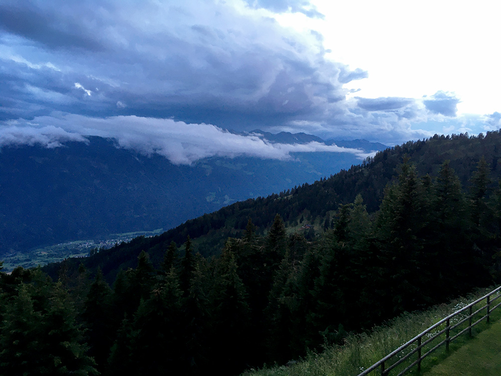
I was lucky and even more lucky in that they had a heated room for ski equipment etc. so I could actually get everything dry again until the next morning. My thin shirt and shorts were mostly dry so I could also after a shower have some dinner. Had seen the buffet and looked forward to eat a lot, but when I got there they had taken that away and only gave me a plate with something to eat, but it was enough. I was happy. The place was maybe not the best, but heaven for me on this evening. Now I only hoped things would be better in the morning and I slept well.
