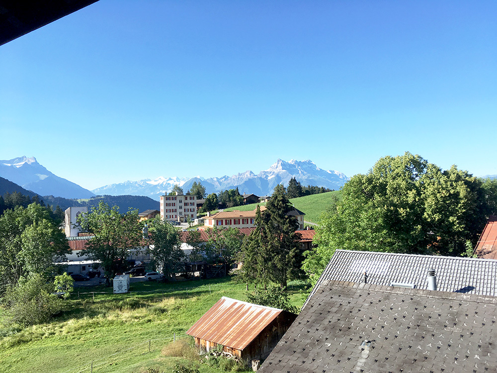
For the final two days the weather was all fine and I had just to do all the climbs on my plan. These days were mostly about collecting the couple of passes I had still left to do over 1300m in this part of the Alps, so several smaller climbs for these two days as I have done the major climbs before.
Here the view from my room in the morning.
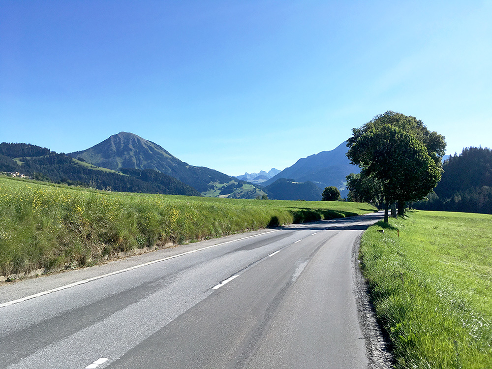
It was already warm as I left, but I was going to stay fairly high up most of the day. First down to La Sépey (975m) and then in the direction of Les Diablerets.
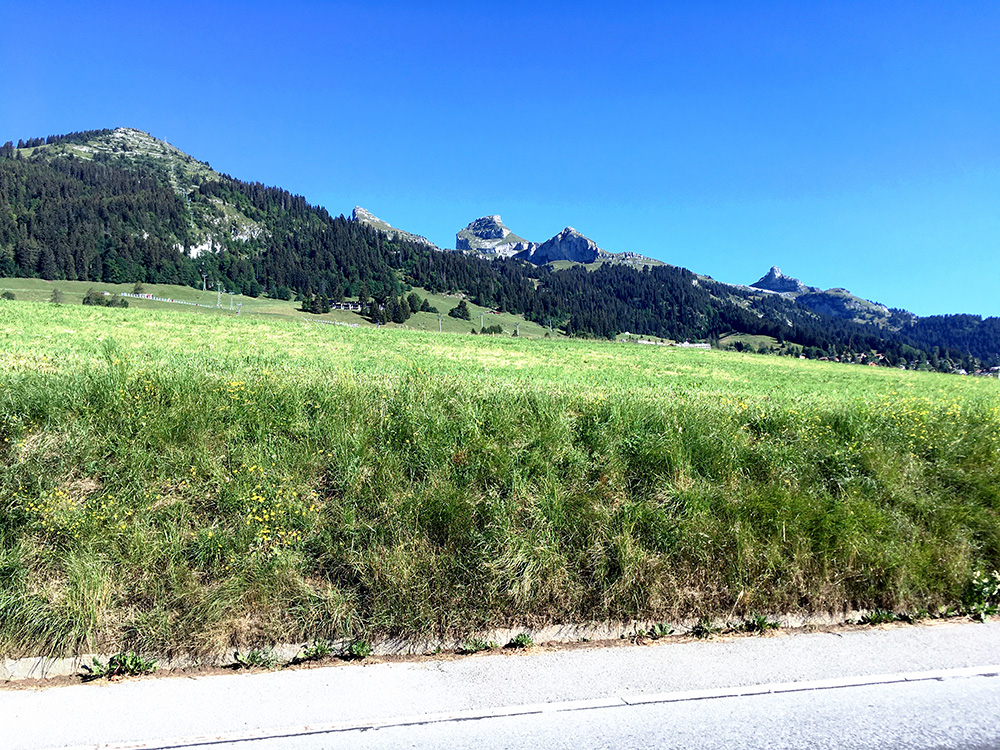
A last look back up the mountains here. Passed by two other cyclists on the way to Les Diablerets (looked like English).
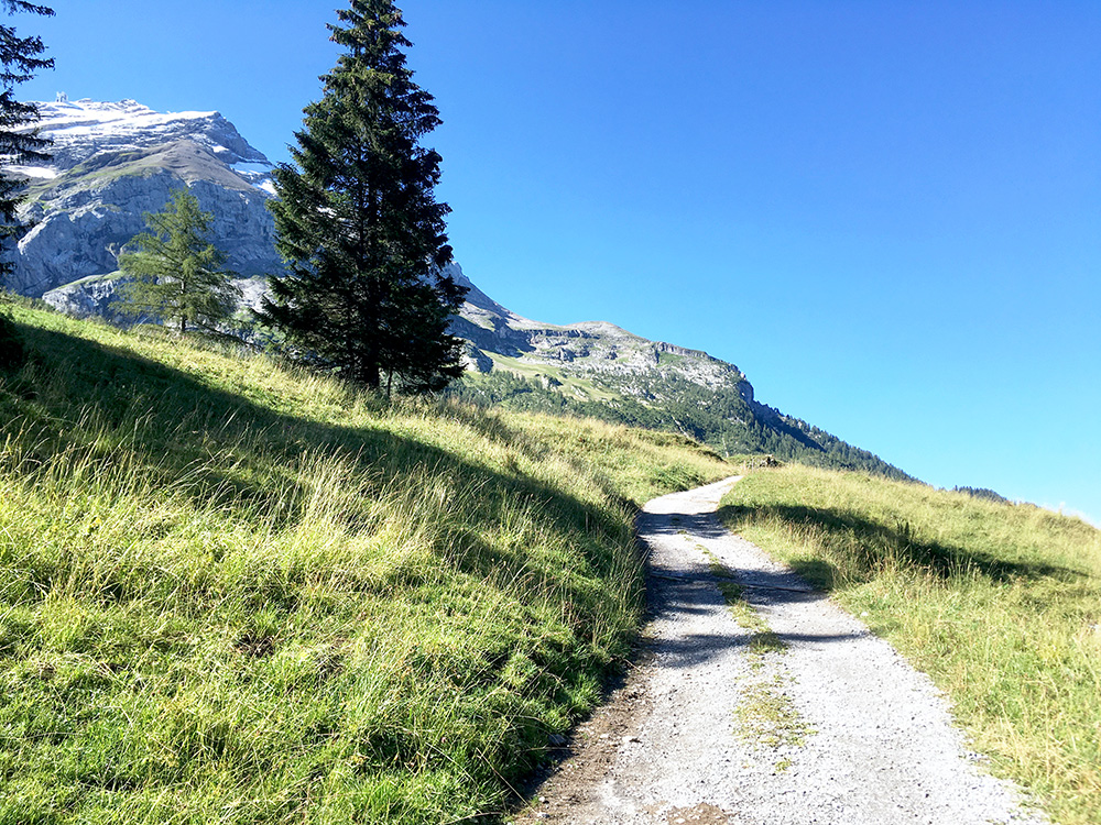
I then continued straight up to Col du Pillon/Pilleberg (1546m) (8.7% for 4.2 km) were I have been before (hard to avoid in the area). Just checking out here in the photo the road that starts paved up on the south side of the pass, but it was only paved for a few metres.
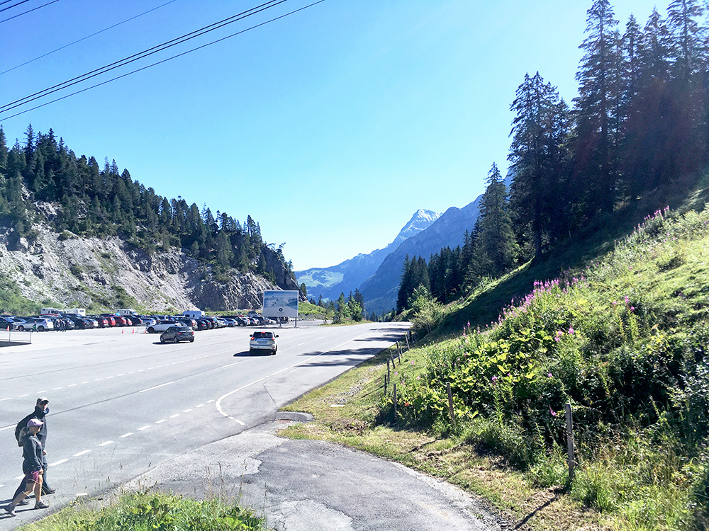
The views at the pass are pretty bad for being in such a nice area.
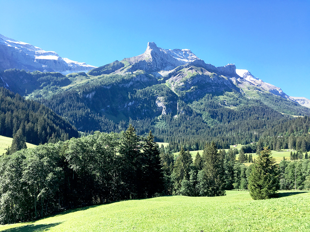
Quite nice views on the east side of the pass and stopped for these two photos.
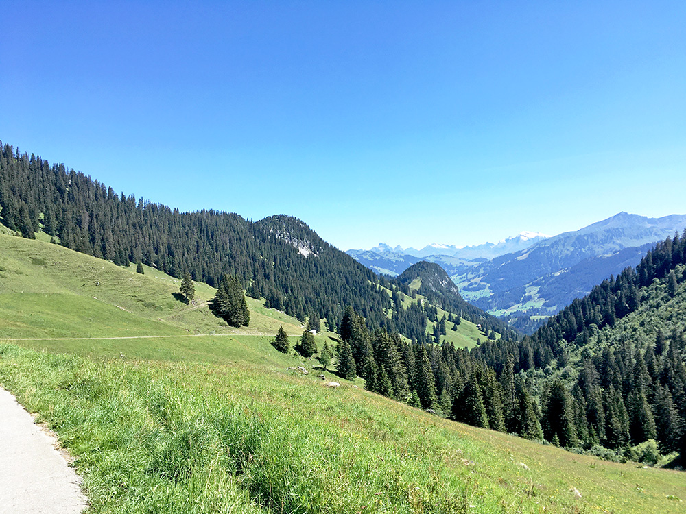
Looking down toward Gstaad here.
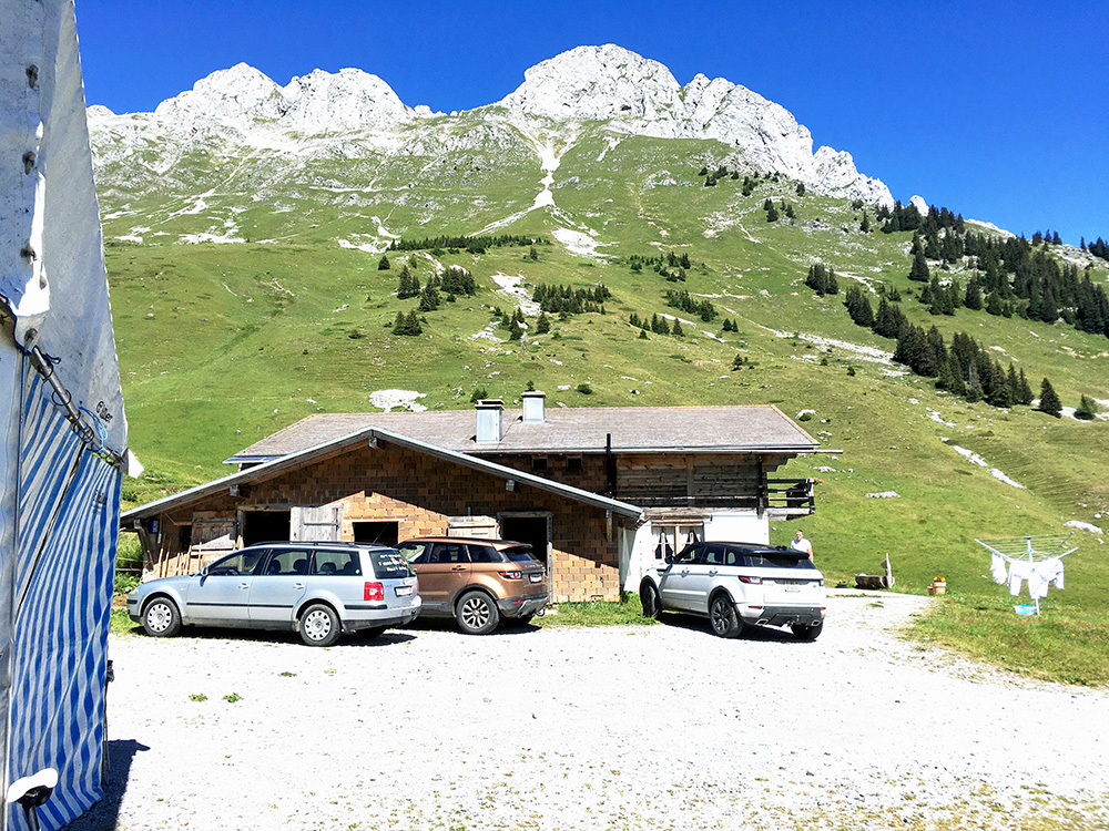
Before coming down to Gstaad I had one pass to climb to. I had originally planned to go over Col des Mosses, but it made more sense going over the Col du Pillon as I was going down toward the other side of the Mossess pass later on.
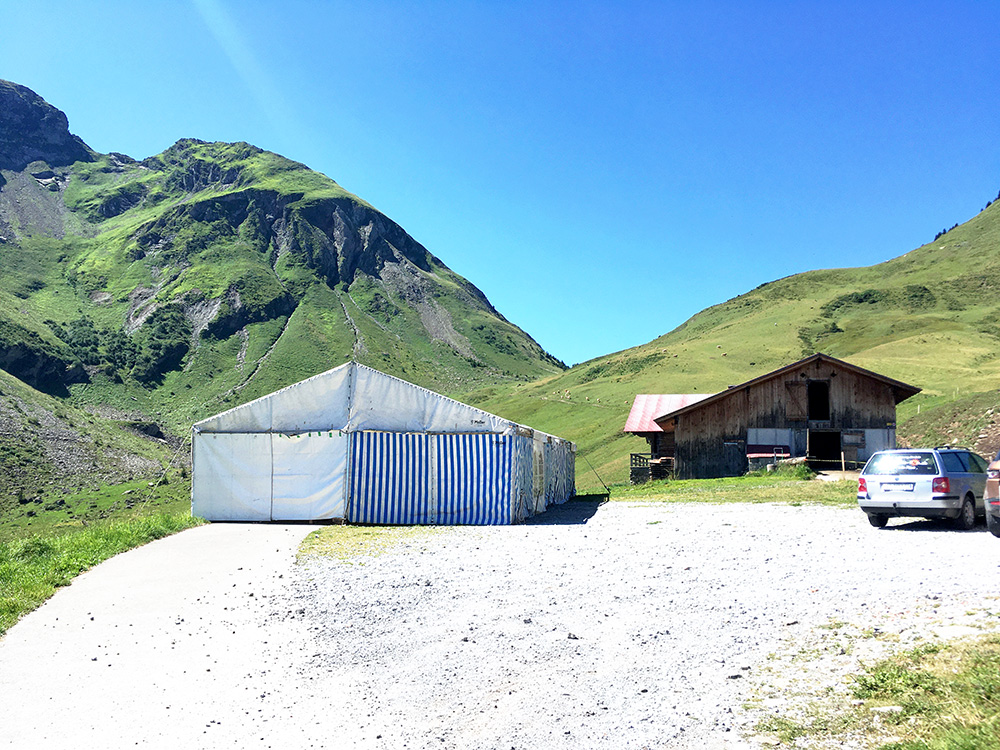
The pass I was climbing to was Col de Wild Boden/Wilde Bode (1643m, road height 1660m), but the real climb from Grund bei Gstaad (1057m) here is up to Inners Läger/Gumm (1773m) where the road to Col de Jable (1883m) ends. It is a fair climb, but unfortunately I had a flat on the way up there. 7.7 km at 10.0%, the steepest kilometre is 13.3%, max 18%. The guy coming out from the farm looked like a young hipster in farm clothing – shiny white boots and dress – looked like just new clothes (wished I had a photo of him and the other guy that looked the same, but guess I am usually not too keen on taking photos of people and asking them either).
The road up here is asphalted straight up and into the tent and there it ends. Behind the tent a path goes up to Col de Jable (1883m), which would not be a long or hard walk, but still some time up there and a bit too far for me today.
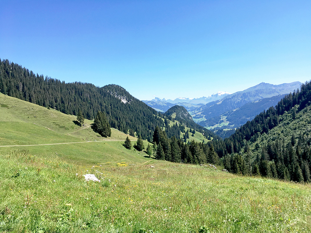
Looking back down the valley and the weather could not be better (it could be slightly less warm though).
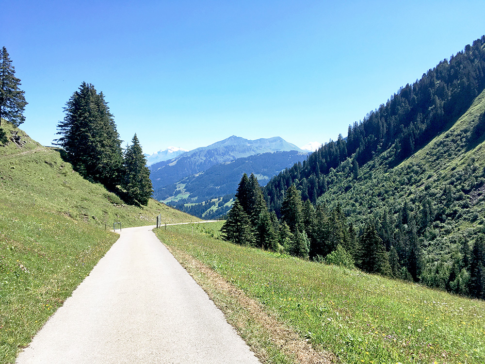
Pretty perfect road here, but that is just typically where one gets flats, oh well I fixed it fairly fast this time (on the way up as I said). Between the photo here and the steep section where I had the flat the road to Wilde Bode goes.
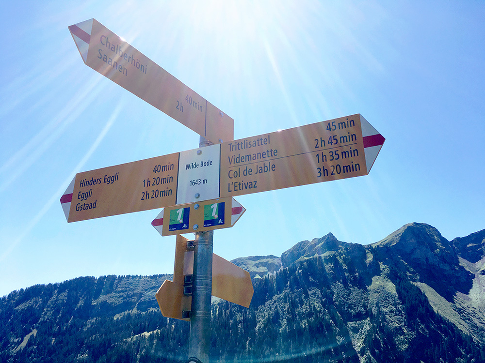
The road to Wilde Bode is easy flat gravel for 920m and then a path down for 80m to the sign (which I think is unnecessary to go down to to lay claim on this pass, but I wanted to check out the sign). An earlier sign (before the steepest part) actually says Col de Wild Boden, but I apparently did not stop for a photo of that one (nor does the seemingly same sign in Google Street view use that name, but guess it has changed from 2013 or my memory is bad).
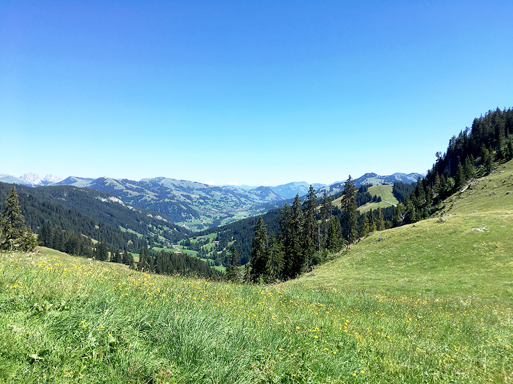
Nice views down to Saanen and the valley (Chalberhöni) I have climbed up once before – a great climb to Eggli (1660m and exactly the same height as on this road)). You can see Eggli and the road on the ridge to the right, but one cannot connect up there from this side on a paved road.
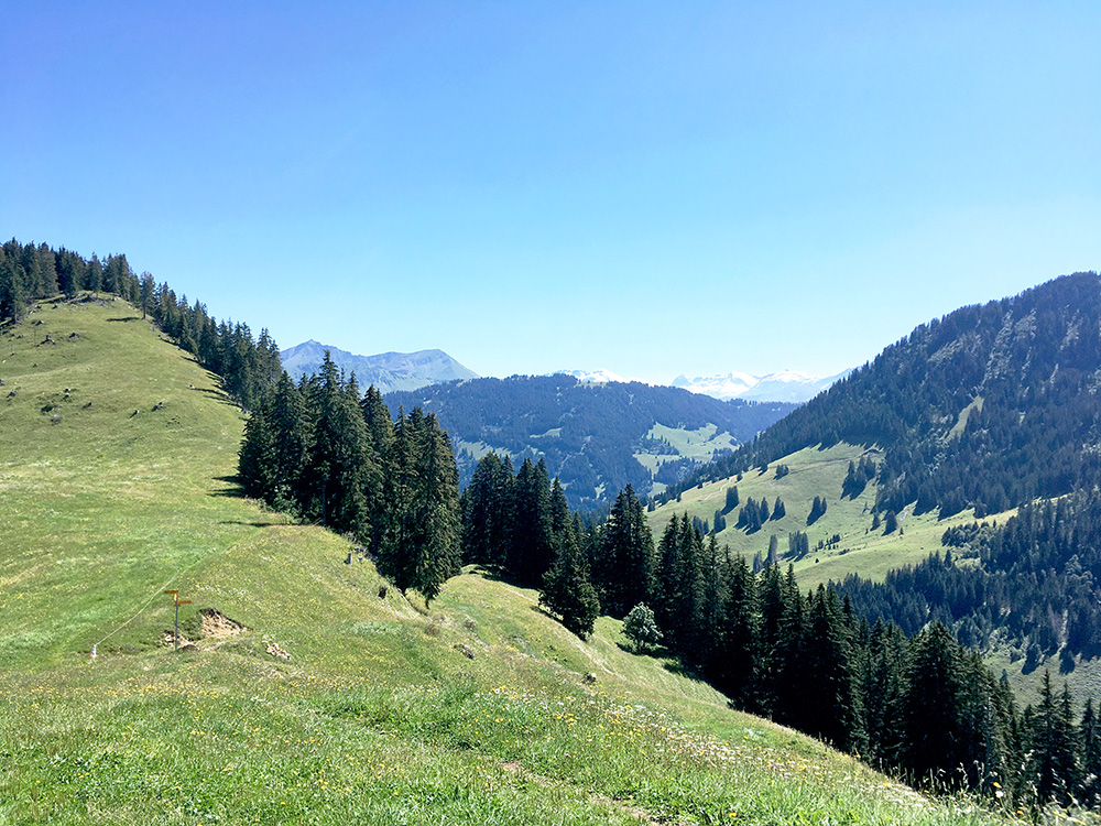
The view down the Meielsgrund where I came up and were I know went back.
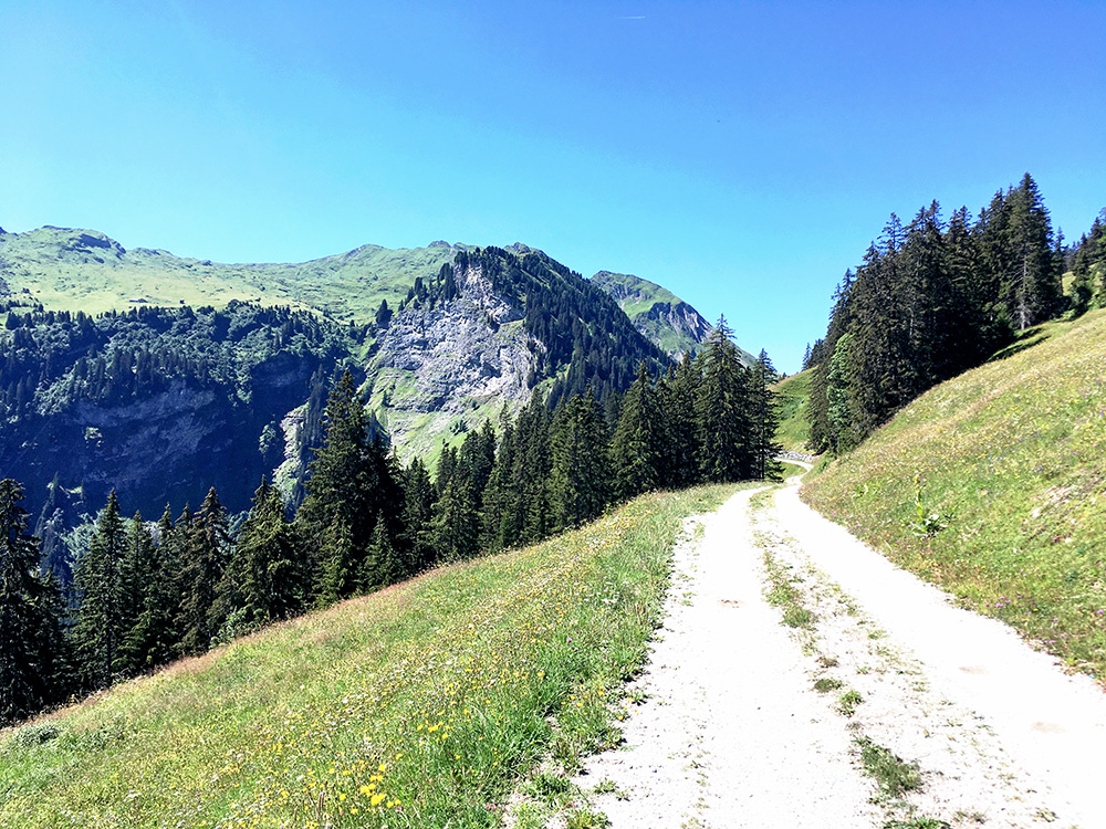
Difficult to get the photos right in editing with the strong sun and not so good iPhone SE camera (the grass, flowers and the trees looks ok, but not the sky or the gravel road etc) – same partly above, but want to convey the strong light too … (in reality it is stronger, but better balanced and the eyes can handle light better simply). To make real coffee table books, one should have a professional photographer on the side … .
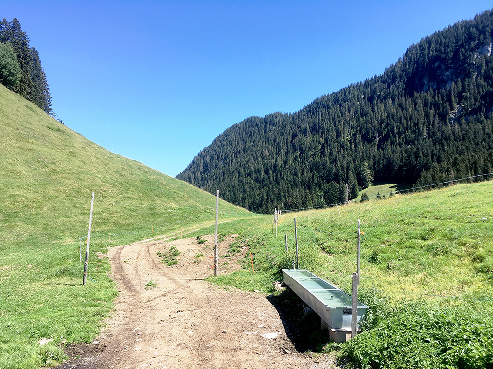
Down In Gstaad I looked around for a bike shop and some place to buy something to drink, but after a while I decided to continue to Saanen instead where I have stopped before and it is easy. I stopped by a konditorei this time there. I saw a bicycle shop on the small road that cyclists usually take on the west side of the Saane river there and went there to have a new tube and get the tyre pumped properly. That all done and I could go ahead and do the two thirds of the day I had left to do.
Just after passing into the French language area at Rougemont, I crossed back over the Saane river again (970m) to climb up to Col des Planards (1362m), which is 180m from the asphalted road. I was merely a few metres away from the the exact location and saw no sign so turned around here. 3.7 km at 10.5%.
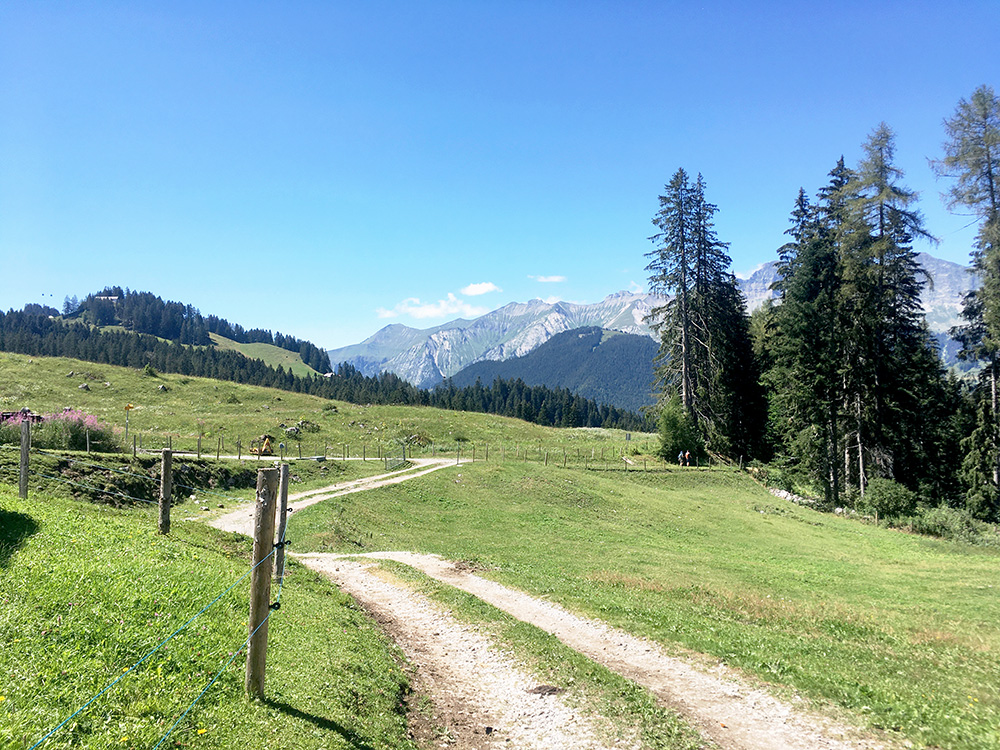
It is nice here, but would get nicer on the other climbs along this mountainside, where I more or less did all the climbs along down to Château-d’Oex.
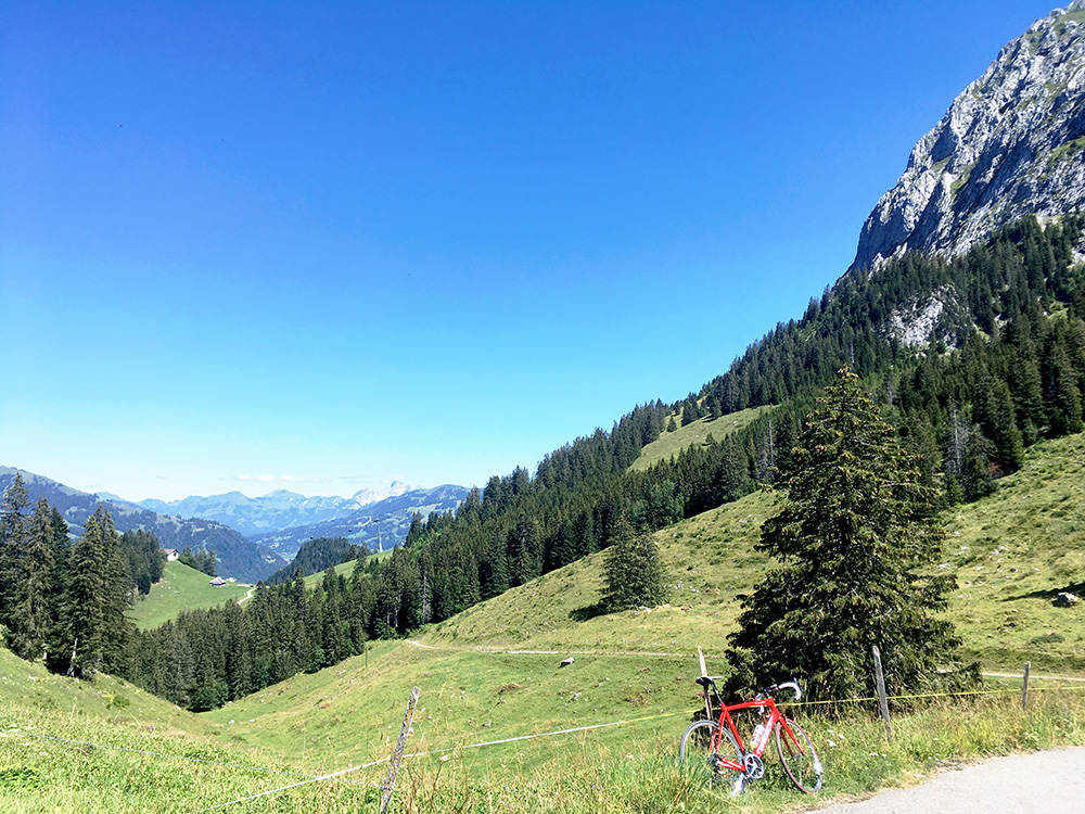
The more logical climb from Rougemont in the southern direction is to Martigny (1523m) and the highest asphalted point along the mountains here – this is at least close to 600 height metres up. Had two more photos here, but they were not so interesting. (About the same steepness as Col des Planards, but longer and shortly downhill.)
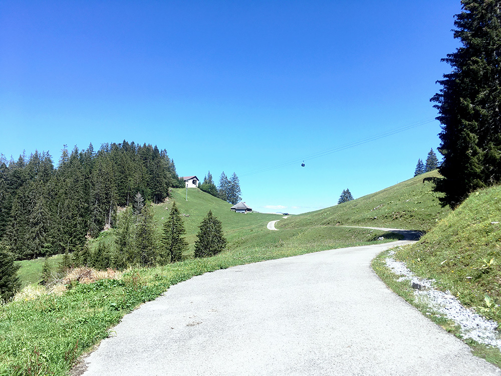
In the photo above you see a pass-like place down below and that is a bump on the way here called La Quoquaire (1461m). Neither Martigny, nor La Quoquaire has been recognised as passes though (as far as I know).
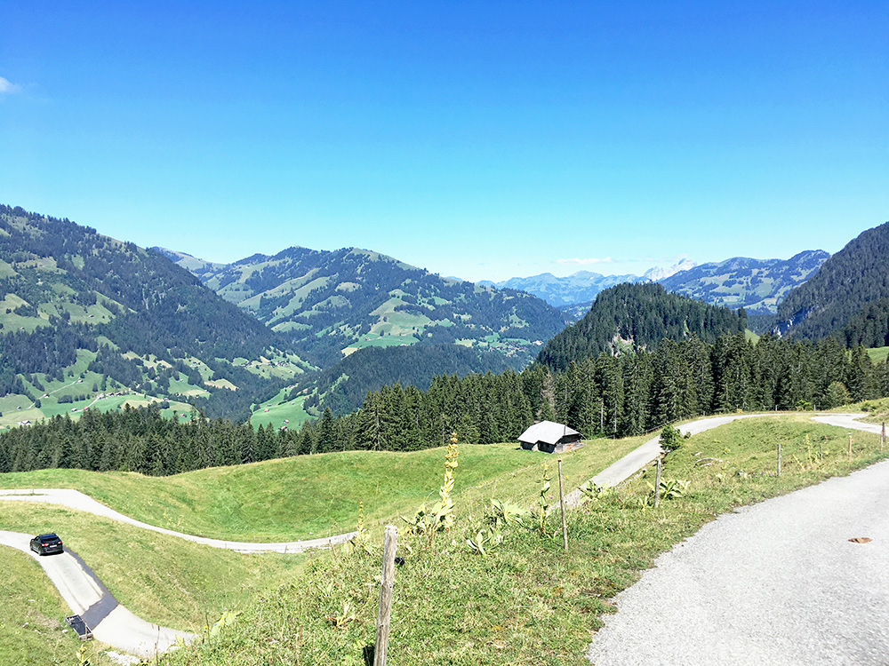
A nice section up to La Quoquaire and Martigny.
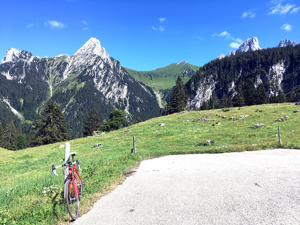
Rodosex Dessus (1439m) is a bit of a climb after a long descent to Gérignoz (958m) – 5.3 km at 9.0%. Not so nice views on the way up here, but very nice at the end. Asphalt was missing for maybe 5m.
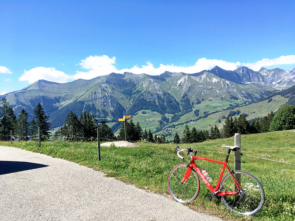
Nice views of the mountains behind Château-d’Oex (not seen below).
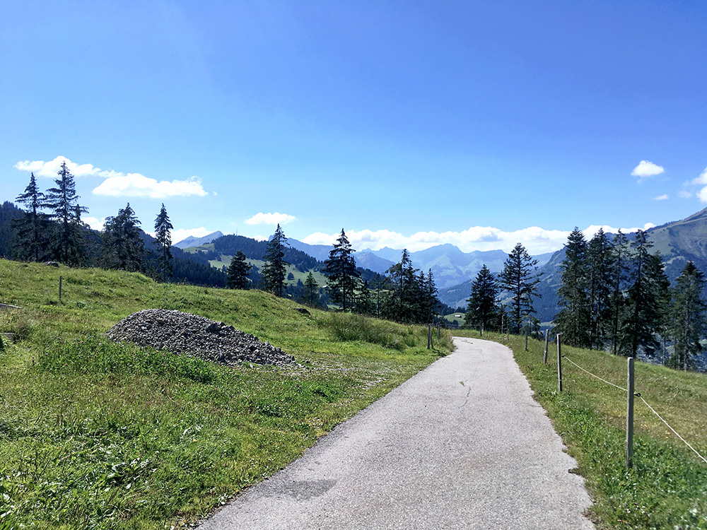
Looking down the long bending valley to Gruyèrez and Bulle where I was going eventually.
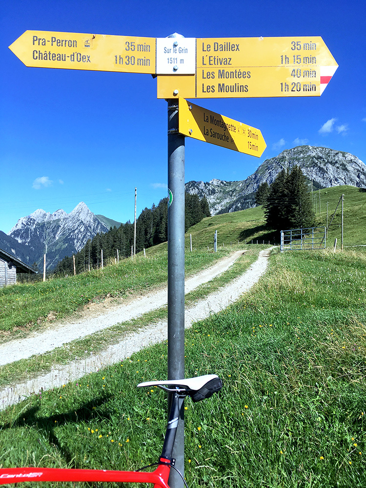
Now I could cheat a little, just like on the Martigny climb, by not starting down at Gérignoz, but higher up and only had like 3.4 km up to the last climb here. It is however 3.2 km at 11.0% and the steepest of all the climbs this day, but also not so long then (the 1.8 km I had already done before are also at 10.1%). Here at Sur le Grin (1512m) (190m gravel from 1499m). The road continuing up here did not look so inviting for road bikes.
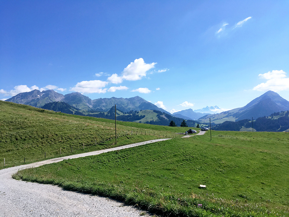
The road ahead looked nice, but also had much loose gravel on it. I think one could argue this is a pass too as there is at least a path down the other side and there is a (little) peak outside the road.
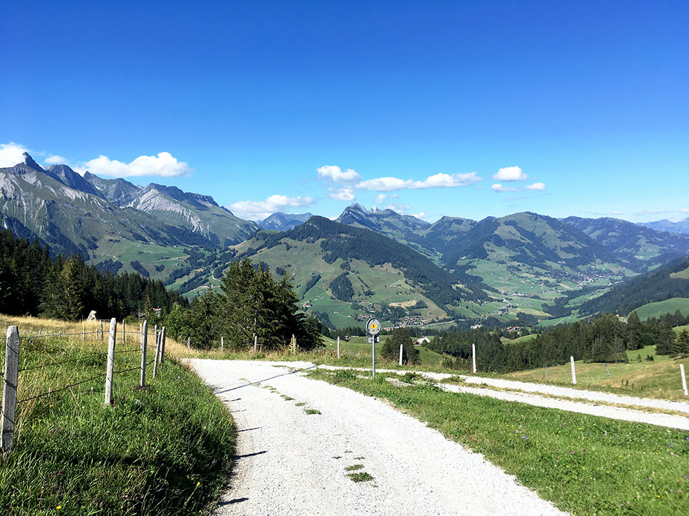
Good views back up toward Saanen too. You also see the paved Col de la Scierne-au-Cuir (1397m) pass to the left just above Château-d’Oex, that I climbed from the other side earlier.
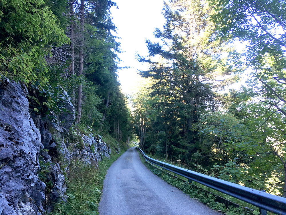
The steep, exciting and a bit surprising end of the road to Sur le Grin (15.7% for 230m, 16% here and max 17%). Steepest 1.3 km are 12.4% (less steep for 1 km oddly enough). It was then a bit more normal riding again, but I had chosen the shortest way which is likely popular among cyclists, but I first had some gravel and the road was much up and down for most of the time and the alternative road on the south side down the valley was sometimes not so good, but at least it was a more quiet alternative to the main road.
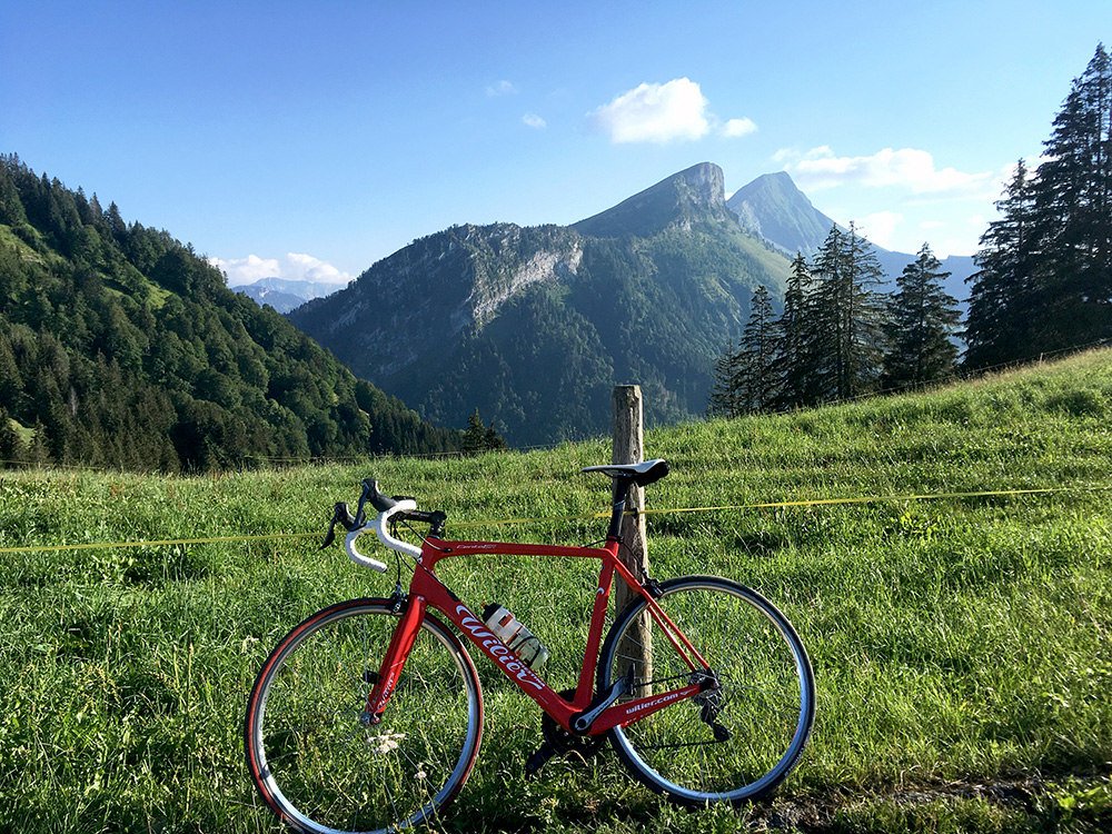
Down at Montbovon I had to stop for the train and could then keep more or less the same speed as the train for some time down the valley. I stopped by a grocery in Neirivue (after not having seen any place before since Saanen) to have something to drink and eat.
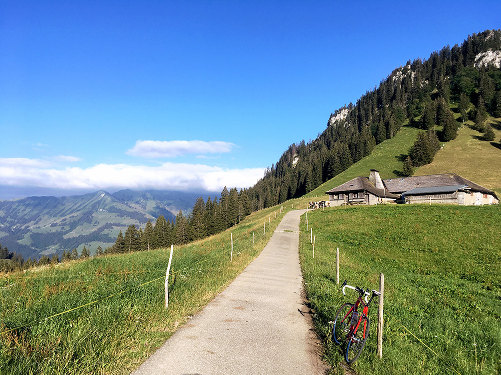
Now at last I was going to climb what was the highest officially recognised pass in 2019 by Club des Cent Cols that I had not climbed then in all of the Alps – the Col de l’Orausa/La Grande Oranse (1378m) – the pass name had just been found the year before (I think). Here at last at the pass.
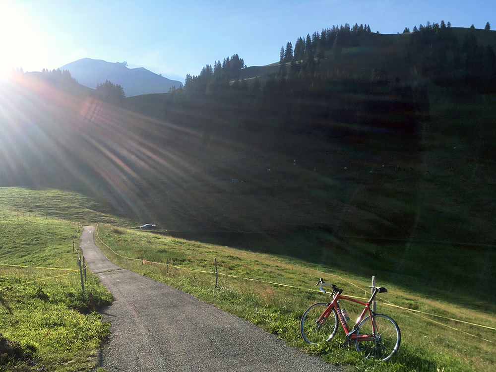
It turned out the road up here was in fact a rather obscure one, but it was clear that it had been built well whenever that was, but the pavement was not so stellar, but it got better higher up. It was also getting a bit late. It was not an easy climb. 6 km at 10.6%, 3 km at 11.9%, max ca. 17% steep. Really nice up here, but it had been a climb with almost no sun at all. You see the astronomical observatory up at Le Moléson here.
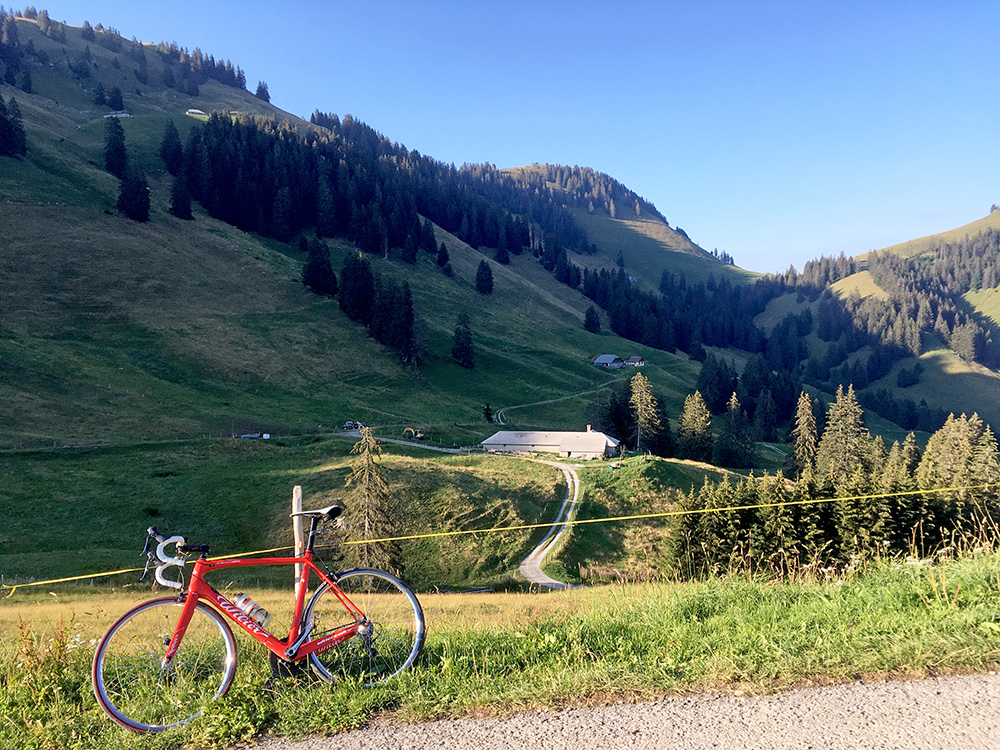
Finally a photo in the northeast direction and you can see the Col de la Vudalla (1451m) that I discovered (one reference on the Internet) and then found a sign also in 2015 when I climbed it and since it has been in the Swiss Cent Cols catalogue. Both these two climbs are nice and near each other. They can easily be connect if you are using a mountain bike.
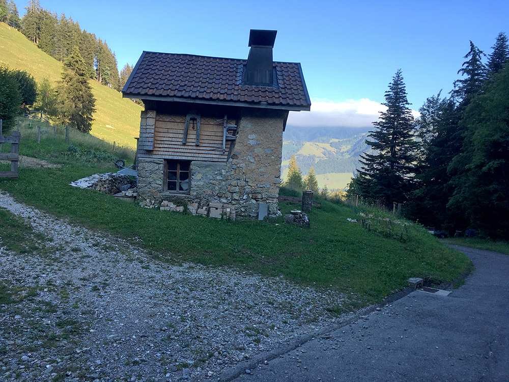
A nice little house on the way down. On the way further down two local cyclists passed me by and I hanged on to them down to Broc, where I think they took another road than me. Anyway I was getting tired and they went a bit fast for me.
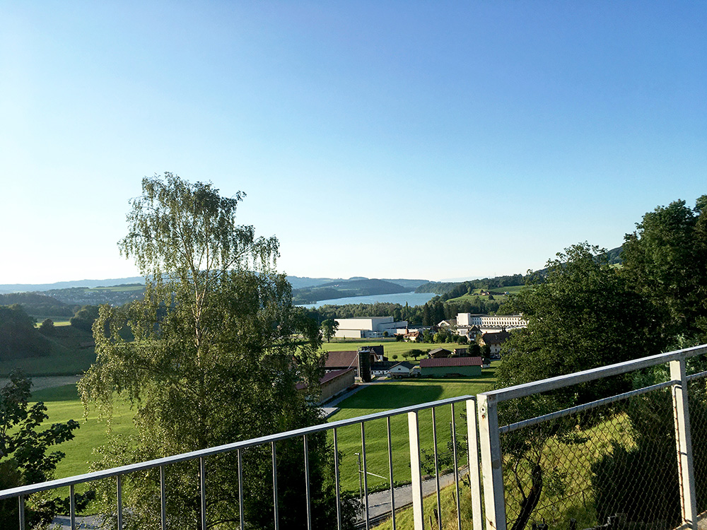
I stopped for a last photo over Lac de la Gruyère before starting yet another little climb on the Jaunpass road. Tired I hanged on to another local mountain biker to Châtel-sur-Montsalvens and asked him if he had any idea of where I could find accommodation nearby. I had found one place but it was a bit off the main road and if that bed & breakfast was not open I would have a longer way to the next place. The guy was helpful and actually called a place in Charmey (I think) and at least one in Jaun, but they were fully booked and said I probably should check with the main hotel in Charmey, but that was an expensive big one so continued and the other open one was fully booked, so continued to Im Fang where I knew a decent one should be located, but it was small and also fully booked.
I continued to Jaun and the hotel there was also fully booked (did not seem good either). I asked a man by the last house in Jaun and he told me of a place just near in Kappelboden by the start of the Abländschen road there were two bed & breakfasts and I went to the first and just as I was about to leave a lady appeared telling me to go back and that she had talked to someone. I was not quite sure what she meant and guess I also was a bit tired. Was it the first guy maybe that had called her before or was it the man I just asked and what was the idea? I was getting a bit worried as it was the last night without booking and it was getting late and there would not be any further place I could reach while it was light outside. I figured it must be the man I just talked to that had some other idea and indeed he had decided I could stay with him and had called her. He did actually also rent another apartment through airbnb but it was also booked. I was happy to stay at his house and a bit like the first night with hospitality and all. So all ended well even here thankfully. That is a reason why it is not such a good idea to go around this late in the Summer in the Alps as it is much more booked then. It was a good day and now I only had one day left and in a decent position to be able to end that day successfully too.
