This was a cold morning. I was up at normal time and went down to see if there was any breakfast available, but soon noticed the place was deserted and locked up. I went outside to see if anyone was coming, but nothing there. Tried to figure out if there was somehow some self-service breakfast, but nothing much of the sort. I went back to my room to finish packing and preparing for take off in case no one turned up. Finally a lady turned up as I was thinking of maybe leaving some money and depart. She was nice and told me she had not got any notice that they had any people awaiting breakfast. I soon got a good breakfast with fine apricot jam she had made herself.
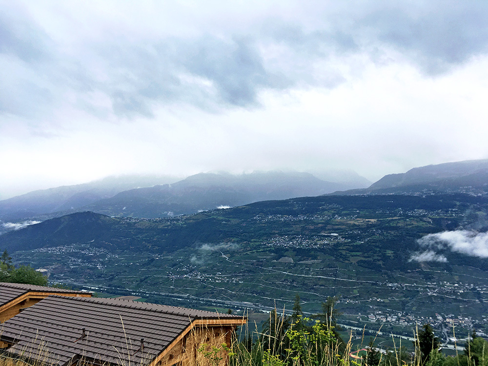
I got away a little late (09:45) but I was not in a hurry to get out and it was ca. 10-11°C when I left Vercorin (1319m). It was semi-dry so I did not have to go slow down to stay dry, which was a positive thing. Here I am soon after Vercorin on the fairly steep road down toward Sion. It felt like Summer was all over now. August 4th (and usually I go earlier to the Alps to escape the local holidays normally starting at the end of July), but Summer should maybe last a bit longer.
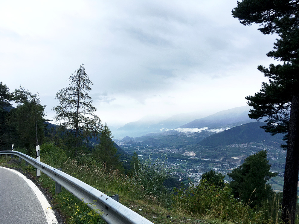
It looked really cold in the whole of Valais/Wallis this day and even when I got down to the valley it was at first only 13°C – not really what I am used to in the Summer down the French part of Valais. Only after Sion it got up to 17-18°C and then normal cycling temperatures.
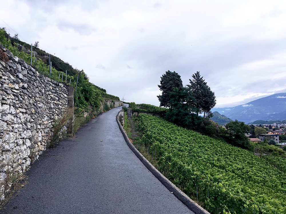
After Sion I went through the shopping centres west of Sion and at Magnot (484m) it was time to do some climbing again. First when I stopped for this photo some metres up the climb I took off my wind jacket as I had been frozen until after Sion. The roads had still not quite dried up even down here (it was mostly dry around Sion though). I had planned a steep short-cut climb up through the vineyards to Derborence to take the shortest/steepest way there and even if it would get colder I surely did not need a wind jacket on here.
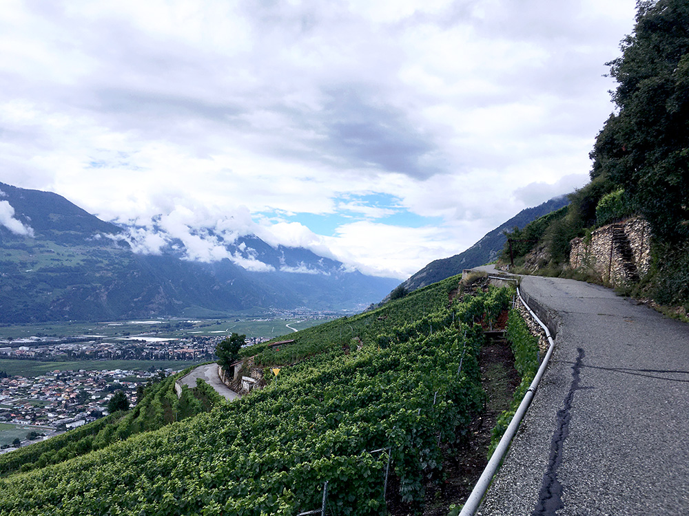
The first turn-off (that I had planned) I noticed was not allowed, but I decided to take that anyway as there was not a big chance of a car up here anyway and I was curious if I could follow the planned road even if I knew there were several alternative ways up here. It got very steep there (photo on the way back down below later on). There was one more section on the planned road that I had spotted would be steep beforehand and so it was – it was borderline for me getting up here, but happy to report I made it cycling all the way up (it was like max 25% at 3 places, but it was also narrow and as steep in the bends with drainage metal to go over without slipping). With lighter gears and weighing less than me you can make it or otherwise take another variant up here as it is nicer than the main road). 16.0% for 820m! In the photo here the road is not steep at all.
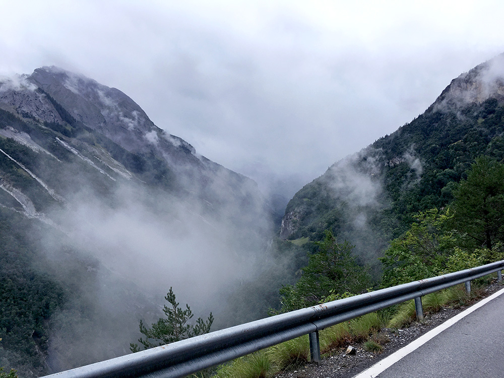
After the first 6 km at 10.8%, it got much less steep as one enters the valley up to Derborence. Now comes a long exciting section with tunnels and very steep mountains on both sides, especially so on the opposite side where I think it would have been nearly impossible to build any road. It looked really cold up here, but I was still warm and had heard the weather should improve so was just taking it a bit easy now and stopped for a few photos (and even more so later on).
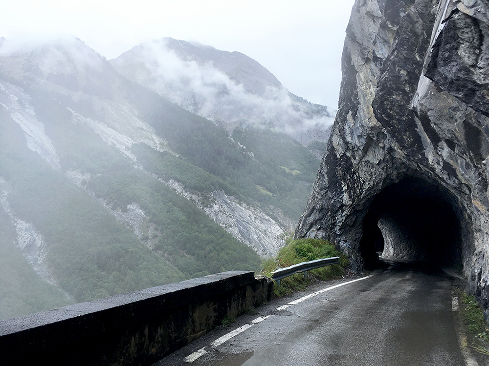
Here the roads were still wet and the temperature went down to ca. 12°C.
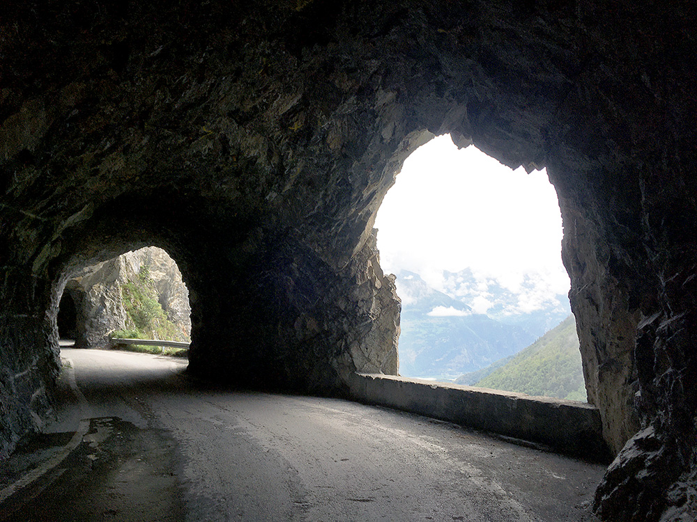
Taking a photo looking back before I got out of the tunnels. Just afterwards I saw a bus coming down and was a bit surprised that ordinary buses goes up here, but in Switzerland they go almost everywhere. The bus driver wanted to say something so I stopped and he asked if I did not see the stoplight and I surely did not and wondered first what he was talking about. I just said no politely and he shook his head a bit and continued and so did I, but I was curious and reminded myself to see if I could see what he might have been referring to on the way down. The road was narrow, but no problem, but possibly it could be a problem with fast cyclists going down and of course it is not so nice to meet a bus in the tunnels.
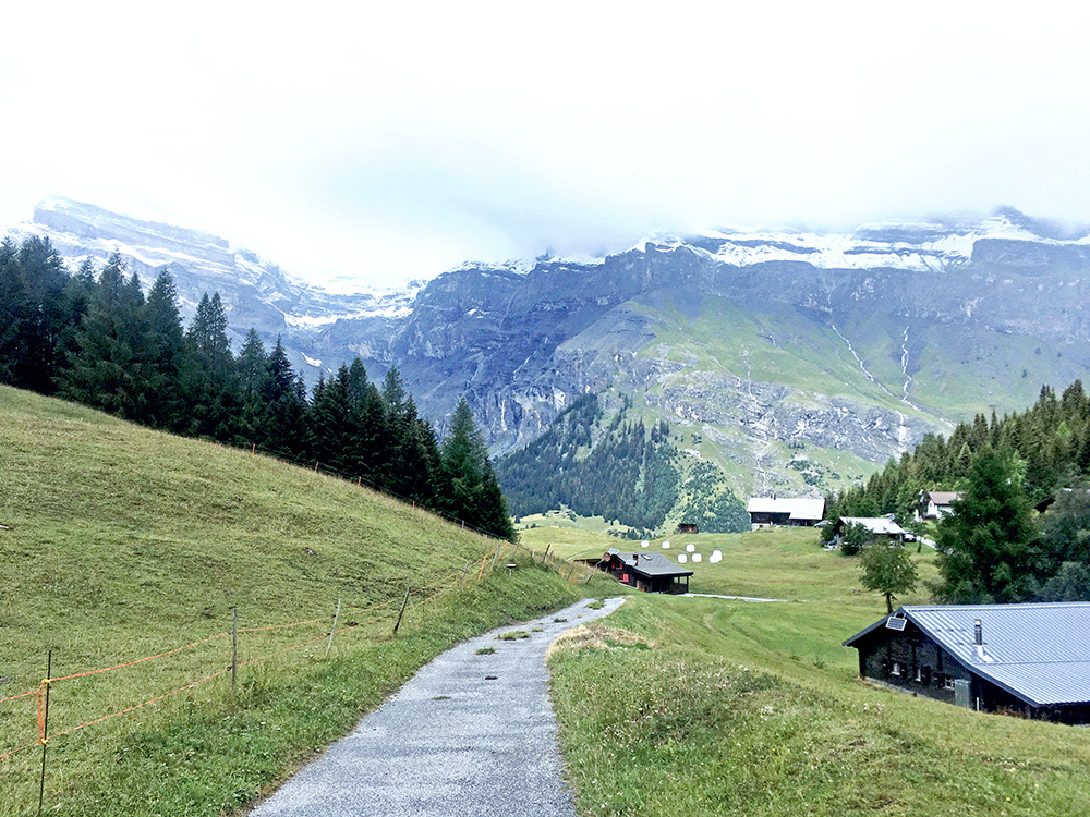
The road got a little steeper again and eventually I reached Le Godey. There is a turn-off just before to Derborence (1467m before the end), but it seemed like a less interesting destination (and lower) than where I were going – namely to Mombas/Montbas (1617m). However, it had started to rain again a little and I was fairly cold when I got to Le Godey and also saw there was a café here so went over to that I and had a coffee and a cookie and waited to get a bit more warm and to make sure the rain would surely stop. The rain stopped and I continued up to Mombas/Montbas (the signs says Montbas, the maps says Mombas). In the photo I am at the highest paved point up here (1627m).
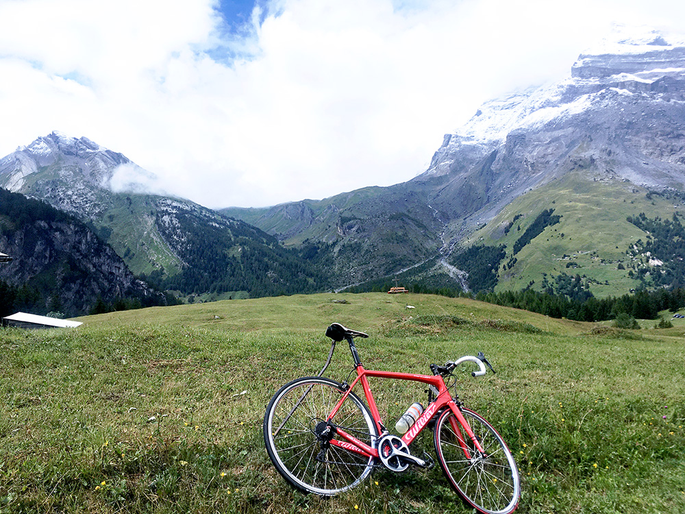
The houses you see right across the road coming up here is where I went next as it looked almost as high (1623m), but there was also better views from there. It was tricky to rest my bike against that bent stick, yes … .
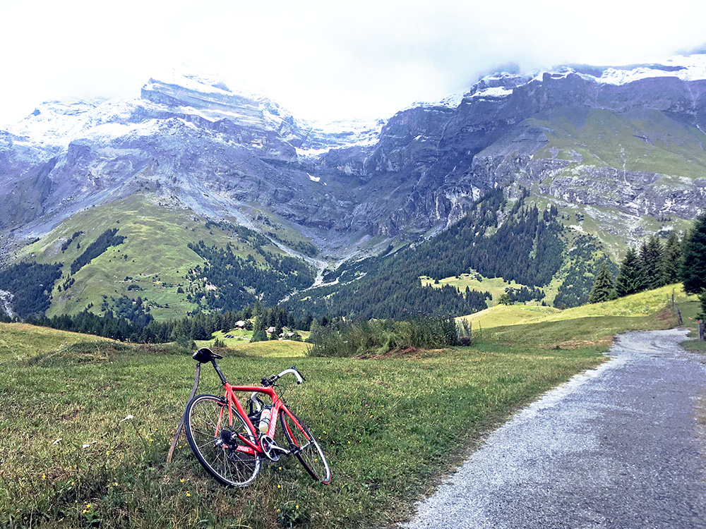
Now all of a sudden the weather shaped up a lot and I could almost see the mountains peaks. Some sun started to appear.
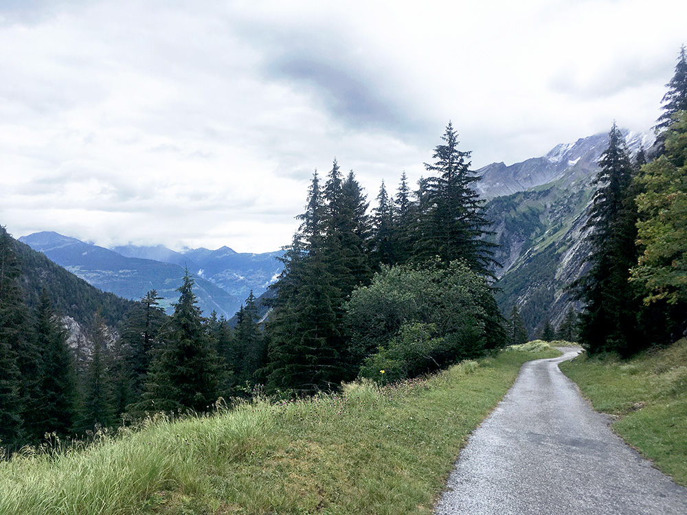
Mombas/Montbas (1617m) is very much like a pass, and I think it ought to be regarded as such as there is a small steep valley coming up here from down the road I climbed with a higher mountain separating the road here from the main road. The road actually goes quite a bit down the side I was coming up from, but there is a section where they have not managed to build a proper road. I was curious even though I had studied it beforehand and just had to go and have a look. It is quite steep and had to go back the same way though, so did not go to the end.
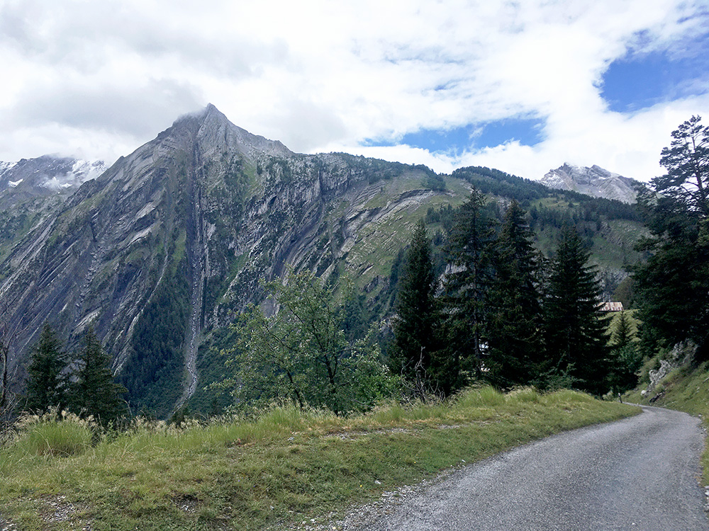
Still not seeing the end of the road so went one a bit further.
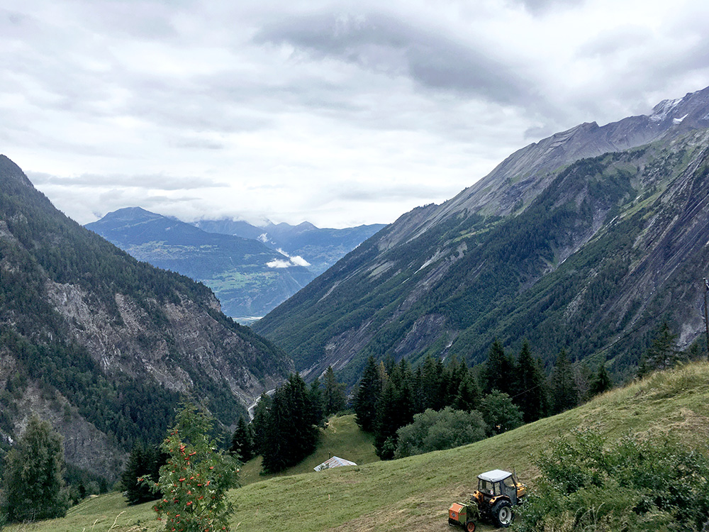
Now I could glimpse to where the road was going (I think) and also got a free view down where I had gone up earlier. I think the road section seen below is where I met the bus.
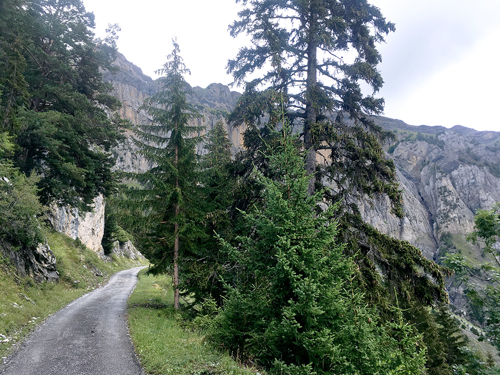
Going back up again – what a lovely road!
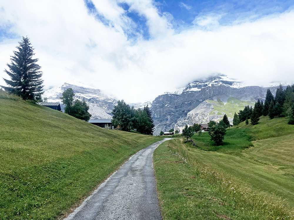
Closing in on the high point and you see it looks a bit like a pass road.
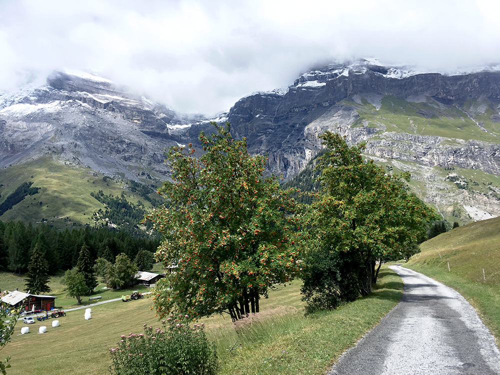
Going down to Le Godey again and now it started to get sunny and real nice up here. Said hello to some people living up here on the way down here. I was happy I took it slowly earlier now.
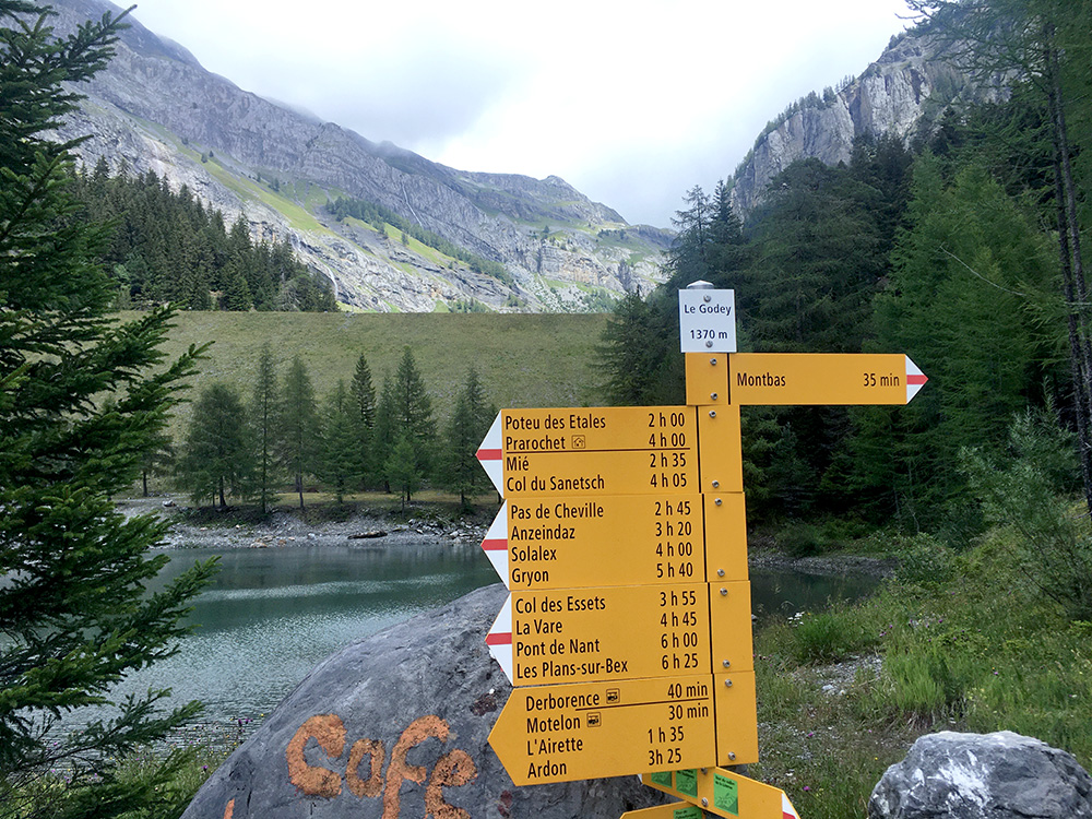
At Le Godey and you see the dam for Lac de Goudy ahead – could not see it from along the roads, nor could I see the lake at Derborence. There is however another high road going up by the café here in the other direction to the high mountains just to the left here and from there I think you can see both lakes, so would be my next destination up here – La Tour (1599m).
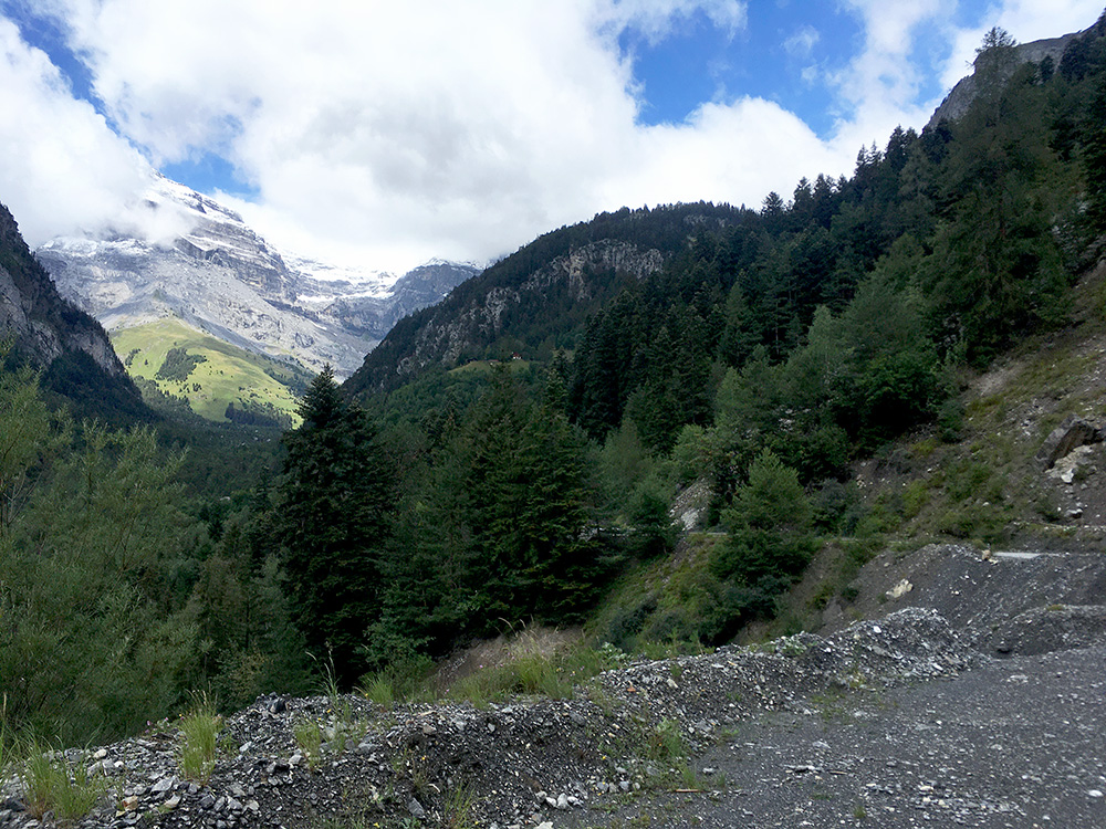
This is a last photo looking back up from the start of the section where the valley side is steep and lots of gravel can get on the road around here.
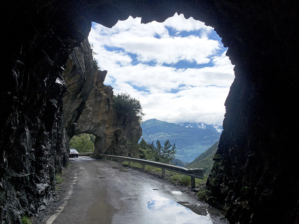
Down by the tunnels and again I could not resist taking a few more photos as the weather was also much better now.
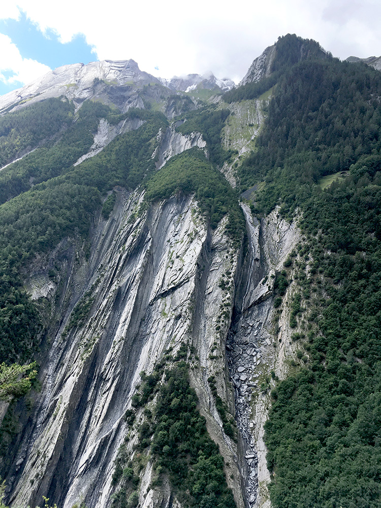
This is the other side of the valley – looks a bit hard to traverse … .
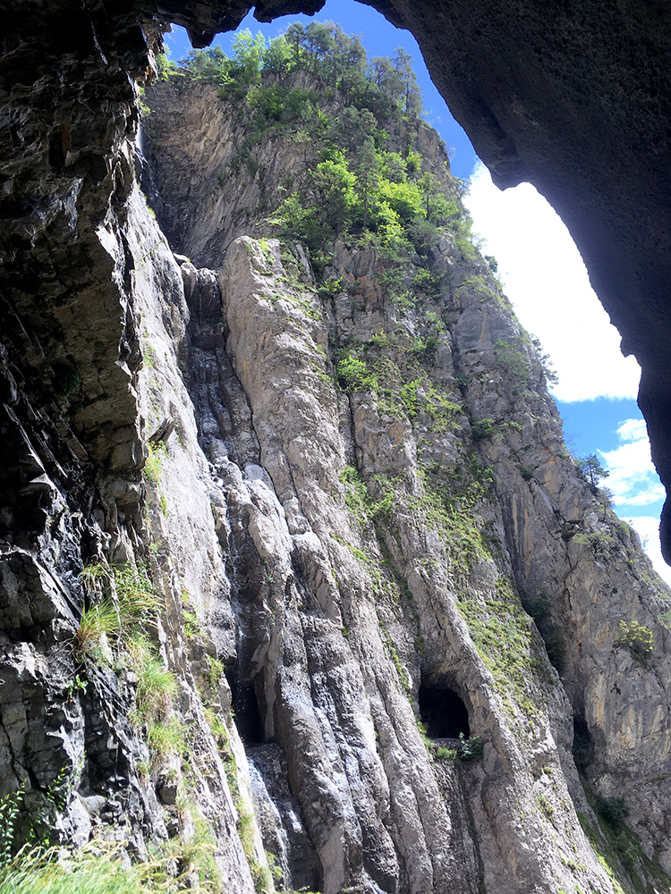
The side I was cycling on was not a lot less steep though, but likely a little less difficult to build tunnels here.
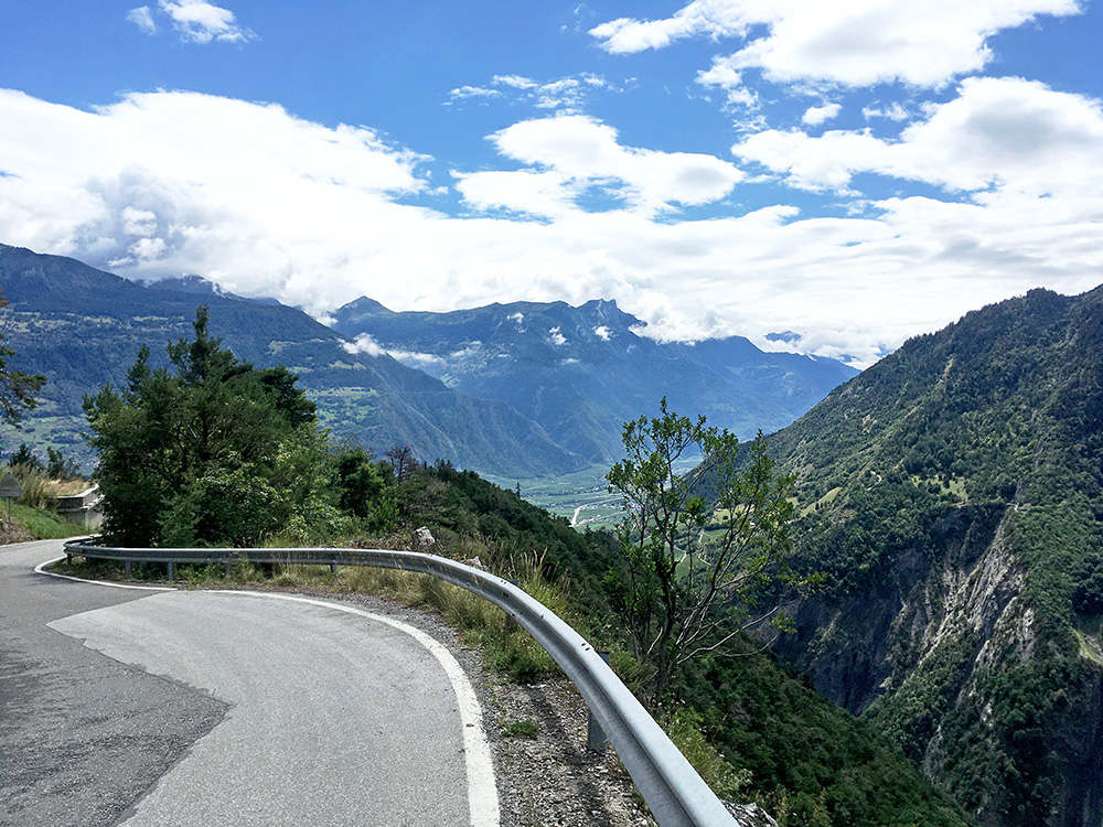
I saw no traffic lights on the way down above the tunnels, but I looked carefully when I got out of the tunnels and indeed there was a traffic light with no light on and I realised that maybe it shown red light for the bus, but I never saw it as I stopped for several photos so it likely got turned on just after I had passed it. Well, now I know. Now it looked like Summer was maybe back in Valais/Wallis again.
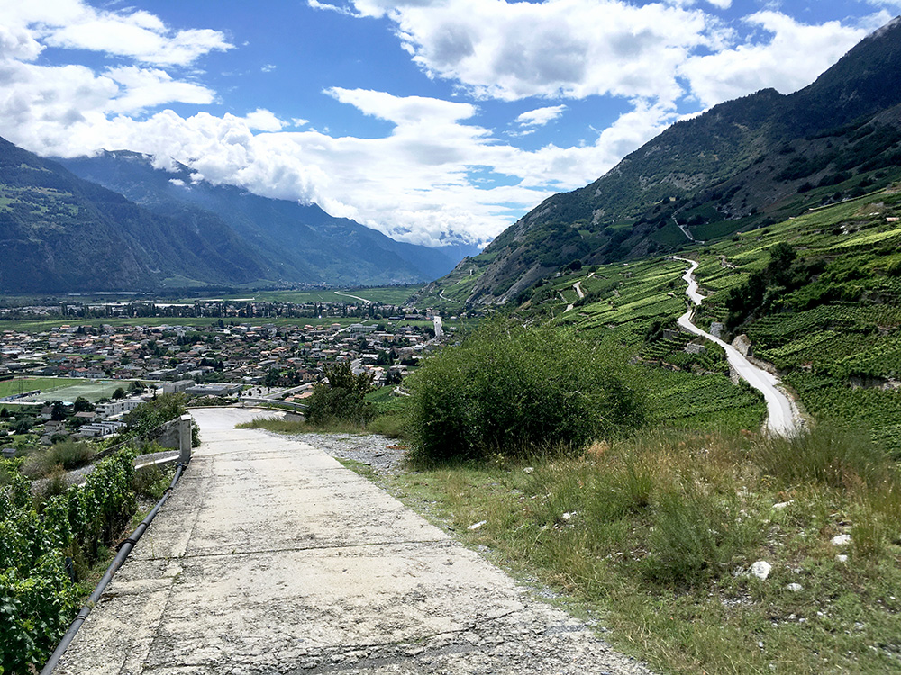
I thought to take the main road back down instead of fooling around on the vineyard roads that would only slow me down, but at some point I apparently decided that it was not fun going through the shopping centre area again, so turned down on the Chemin de la Combe in Erde to go back down to Magnot on mostly less steep roads (was close to taking the wrong road one time and had to walk back steeply a short stretch). Here is a short nice concrete stretch just before Magnot – the road seen going up below would have been the easier and allowed road up.
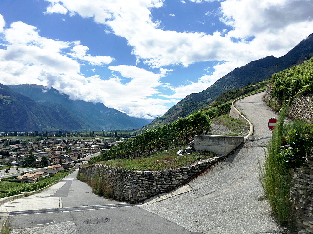
Here was the first steep ramp and and not easy to tackle that curve. Great weather now and just to go down to the big bend of the Valais near Martigny now.
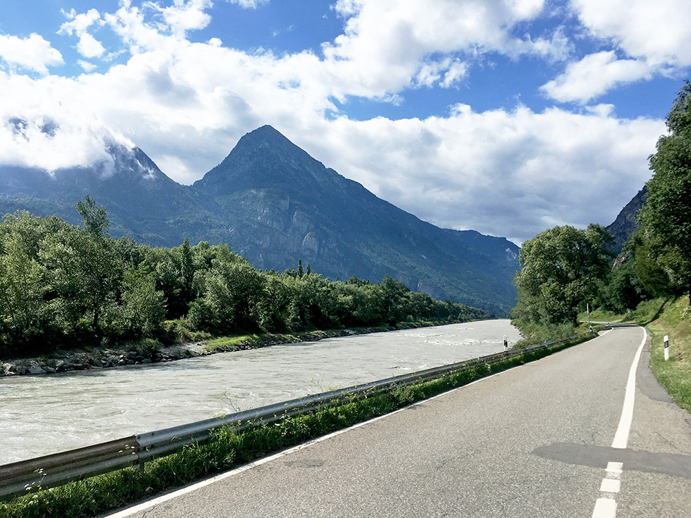
Here I just got around the corner and for once followed the road (that I simply had not have reason to follow before) that goes on the east/north hand side around the corner. It is a very narrow road and without a lot of traffic so ideal for cyclists. I was not even sure earlier that I could go on this side and always went through Vernayaz, but it is more logical though if coming from Martigny. There were some rifle range along the road. Just above is an interesting gravel road up on the mountain on the corner that might be possible to climb with a road bike (and it is long with a great many serpentines (should offer good views at least).
I had stopped before in Fully for a coffee at a café up in the village, so I now continued and only around here I decided to give up ideas on doing another climb here (from Dorénaz). Wanted to check just exactly how far that road is asphalted (guess I know, but not exactly) and it is an interesting twin road to the infamous Rionda (that I climbed another year). I had figured out that my slow going earlier would have to force me abandoning something and it had to be this. Instead I did a very small climb over a small pass called Les Caux (564m) from Lavey-Village (408m). Here I saw a fast looking girl in front of me and decided to see if I could catch up with here, but I could not – oh well, guess she was good.
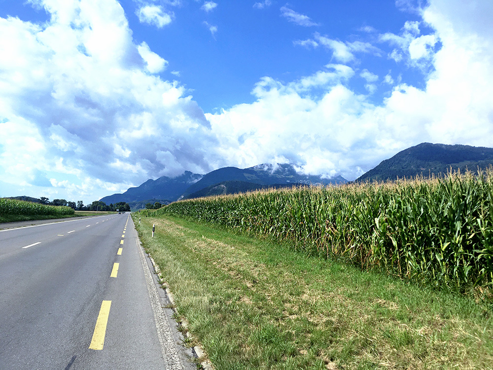
On to Aigle after stopping for water in Bex. Here I am along the road to Aigle and I could see my final destination for the day that I did not want to miss. I was happy there was only a few clouds up there and hoped for the best. The destination is the highest you can see in the photo – actually it is a little higher than you can see there as it is in the clouds. I was again on my way to Leysin, but this time to the highest paved point above, which is at Aï or Mayens.
Another thought: I could possibly have walked over the mountains from Derborence to Solalex (almost the same height) and gotten as fast to Leysin as the way I was going now. (I could possible have cycled a short bit on the gravel part up from Solalex also.) But it was rather wet on the ground and I would get a shorter ride with less height metres and maybe I would have had problems too, like wearing down shoes. Pas de Cheville should be popular among mountain bikers at least.
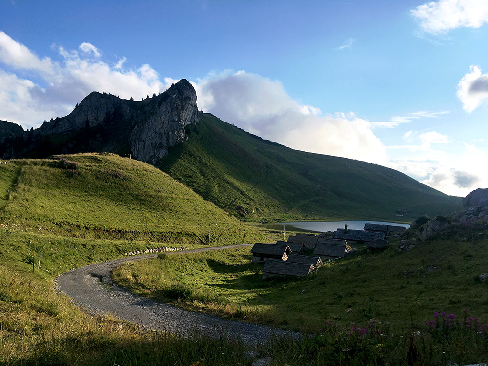
Here you have it – Aï , Lac d’Aï and the Berneuse mountain, from Tête d’Aï (1910m) (last cable car station on the way to Tour d’Aï). I think this is also a pas (but have not found any name for it).
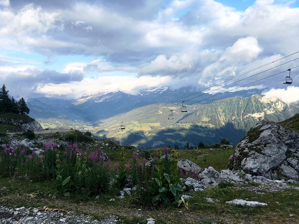
Looking down the side I came up.
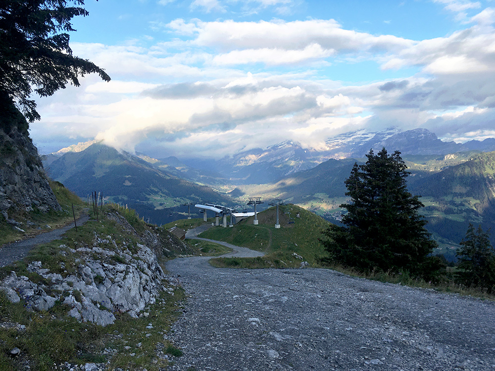
Unfortunately the road was not paved to the top, but to my surprise there were some asphalt here and there all the way to the top so it might have been all paved earlier. It is all paved to the bend just below in the photo, but the ramp up to where I stand was just a bit too loose and stony to make it cycling up, but I could then cycle the short remainder to the top.
There is another interesting detail in this photo – the path you see on the left apparently was a serpentine road built up here earlier to avoid the ramp just below me – really wished they had restored that with asphalt, then it would have been a cool climb to the top (but even paved the steep ramp should make it possible.
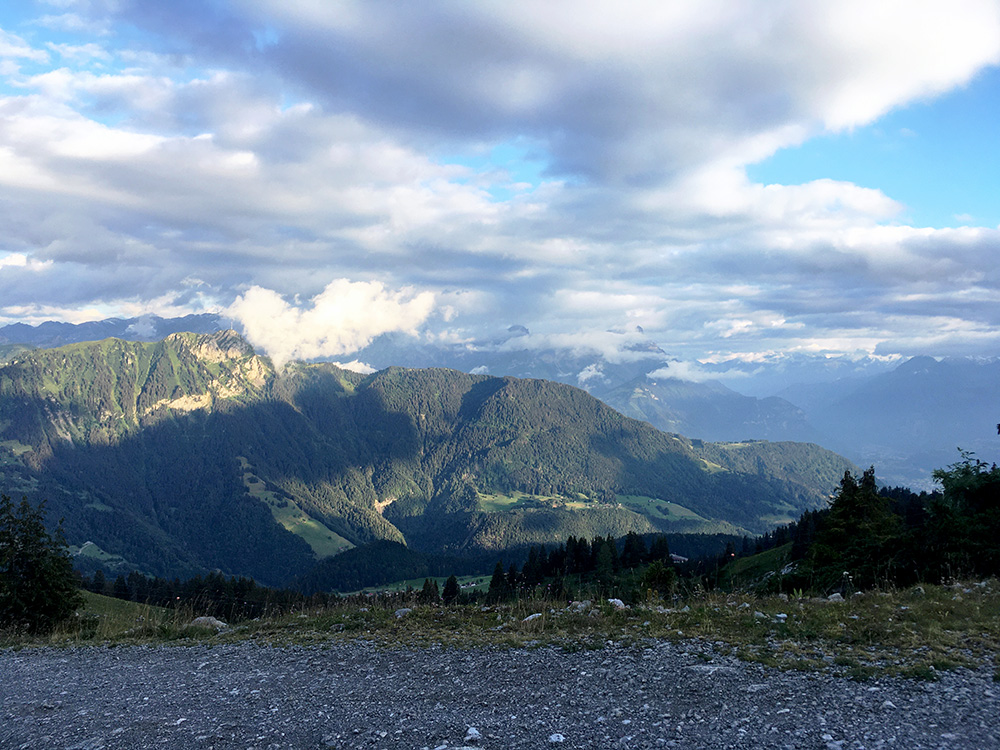
No clouds up here now (except some above) and great views all around, but you can also notice the clock is getting late. It took some time to get up here, even though I got in on number 10 on Strava on a section (now 13 of 45). Another cyclists also overtook me just before Leysin – I said, see you at the top, but guess he wasn’t going there, hmm … and I was planning to take a small steeper road up through Leysin which I did, in good speed, in case I would catch up with him there, but did not see him again. From Aigle (417m) it is a fairly long climb with 1493 height metres. I had 20.7 km at 7.8%. To Le Sépey it is only 6.0%, but the remainder is 9.1% and from Leysin it is 9.7% for 6.2 km (the ramp above here was the only thing just over 20% max).
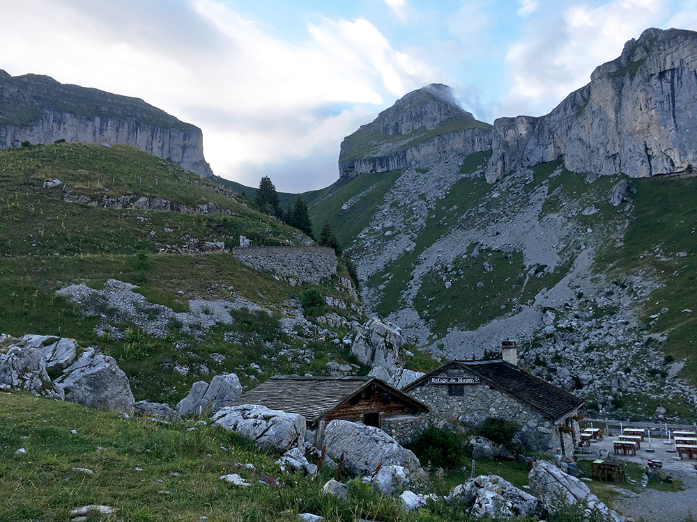
Here at the Refuge de Mayen (1850m, asphalt end) from just before the asphalt end. So the lovely views here you can have even if not going up the last section.
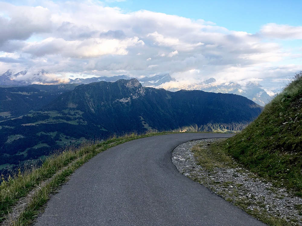
The last well-paved curve just before Mayen. Pavement was not always stellar on the way up from Leysin (one slightly bad place in the woods, but no big problem).
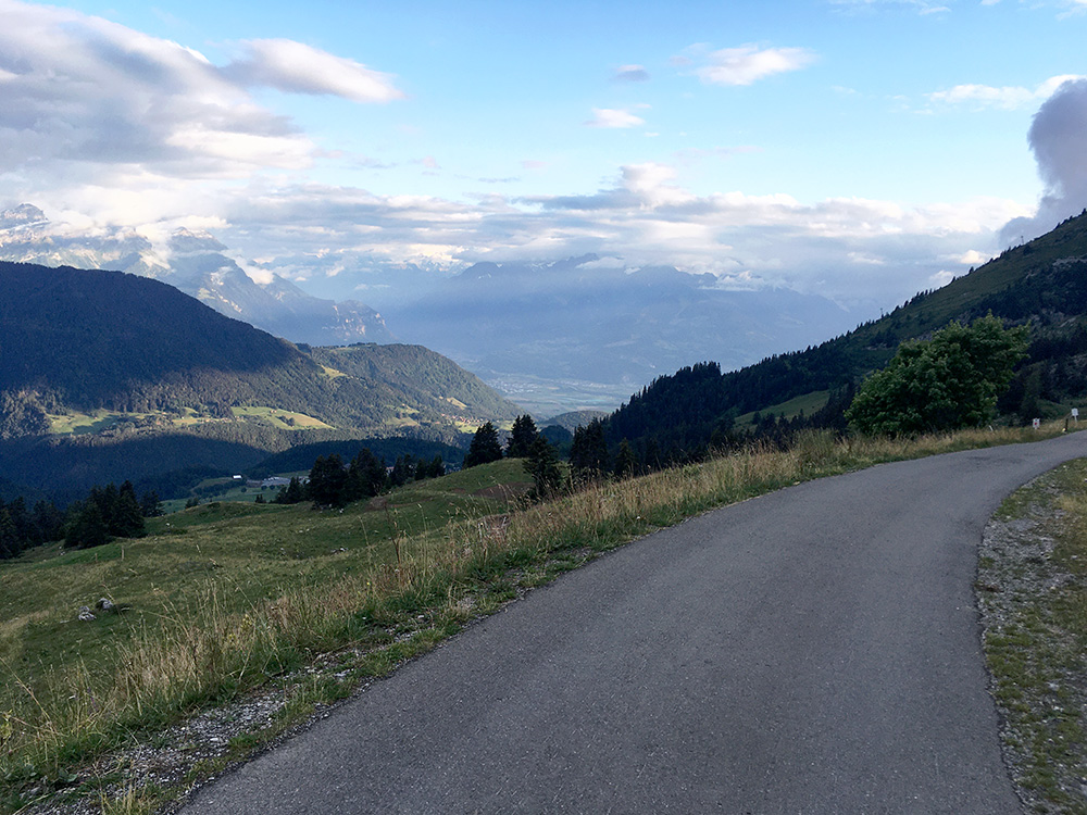
The view from around the corner let you see down below Aigle in Valais.
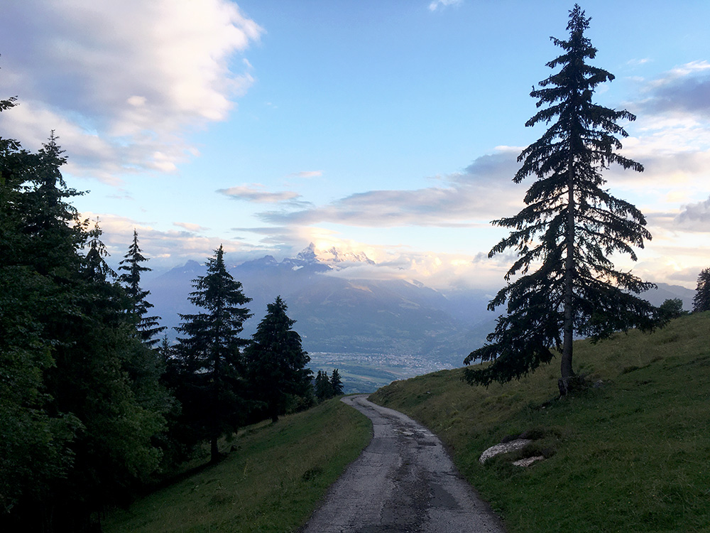
A last photo in the evening and it was now getting dark soon, but I knew I was close to Leysin and hoped to find a bed there. One sees Monthey down across the plain where the road to France over Pas de Morgins goes (that I last visited in 2019).
In Leysin I took the normal road and found the place I had looked up in advance that seemed to ve a fair choice here. It was the Hotel Tour d’Aï. It took some time to get hold of the girl managing the place, but then all worked out just fine. She suggested I visited a restaurant there, but the prices were quite steep (I thought), so went to the pizzeria I also had noticed and had good pizza and beer.
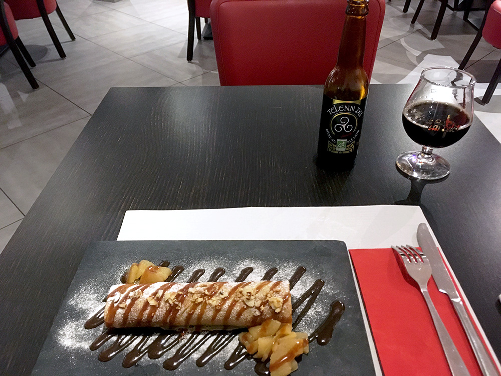
I walked around a little thinking maybe I could have another beer somewhere and just happened upon a crêperie. Had a good crêpe and apparently they said they had happy hour so I would get two for the price of one – could not quite say no to that and also a had a good dark beer. I guess I was the only guest this evening, but I was happy they were open – now I had almost spent as much as on a simple dish at the better restaurant though, so time for washing clothes and go to bed.
