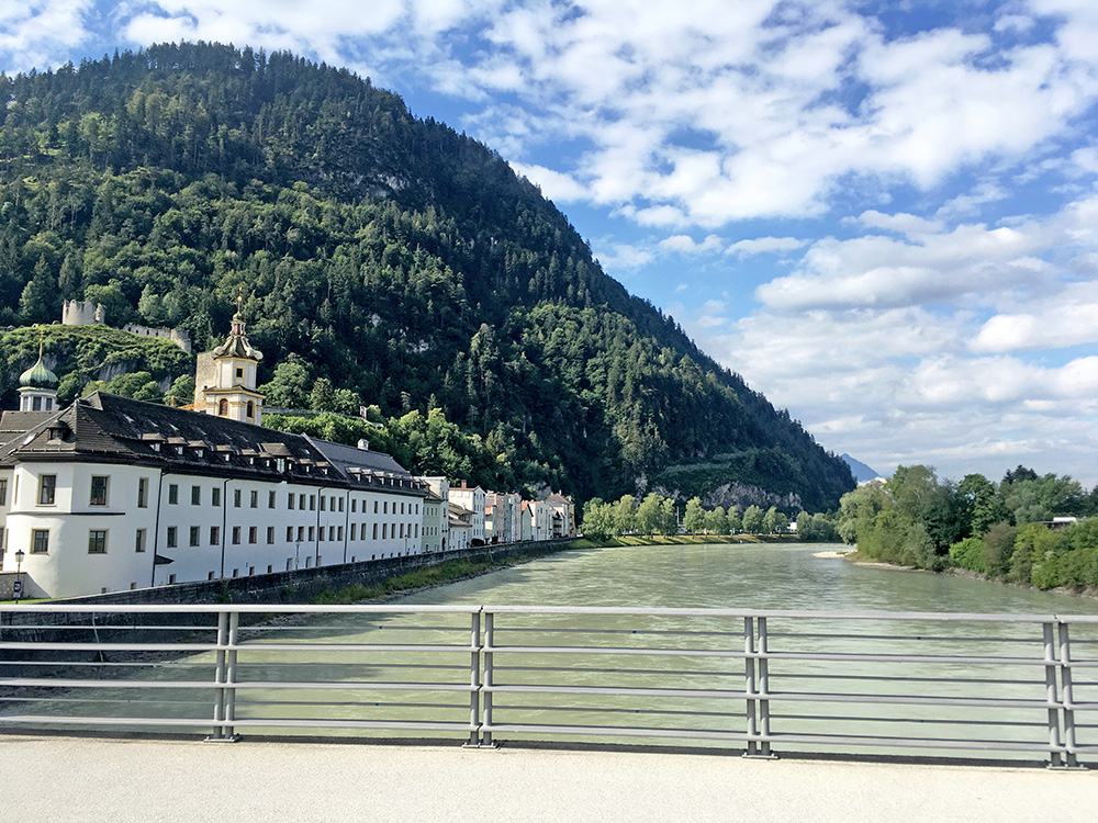
Finally some nice weather was back again and perfect temperature during this whole day. Here I am finally on my way to leave the Inn valley for this time, taking the bridge over Inn at Rattenberg. I was crossing the Inn valley once again later in the day at Oberaudorf – it would have been very much closer if I had went directly from Wörgl via Kufstein there, but the idea is mostly not to go the shortest way.
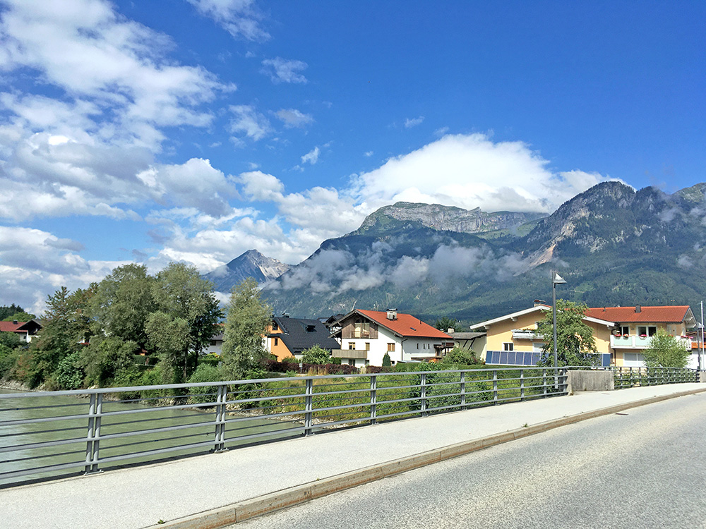
I was going up to Achenpass between the two higher mountains here. Soon after the bridge I stopped by a cycle shop to get a good pressure in my tyres again.
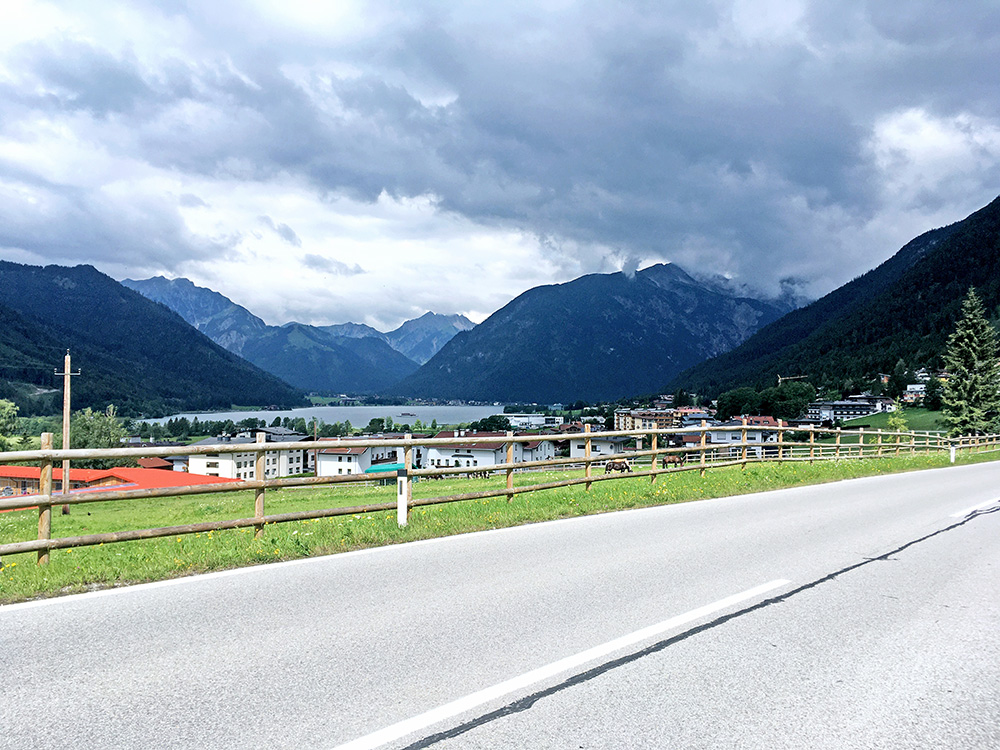
Once up at Achensee the weather was a bit more cloudy, but it got less cloudy further on again. The road climbs normally up to Achenpass, but then it is flat for long. I stopped in Achenkirch by café Adler for a first break (maybe slightly unnecessary, I felt). From there it is easy up to Achenpass (941m) (a very uneventful place, so no photo). The down into Germany and found my way with the help of the Wahoo guidance on small roads, but apparently the shortest way across Rottach-Egern (from planning), to the Valepper strasse.
I was on my way to Wallberg. Part of the attraction in the area is the Tegernsee, but I had forgotten about that and I never had a glimpse of it from any place I went to (had to go just a little higher on the Wallberg or have gone up on the west side or have gone through the city of Rottach-Egern). Oh well.
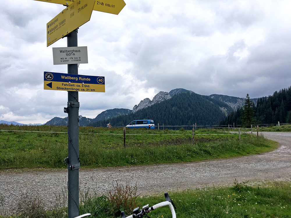
I stopped again (just in case) at the Gaststätte Almhof for a little gulasch and coca-cola, I believe, at the beginning of the east side climb to Wallberg. The Valepper road is nice, narrow and popular with cyclists and walkers (a toll road from the restaurant). After the first easy 100 height metres, the turn-off for the Wallberg starts. One climbs steeply up and the last part is very steep. After the last little farm the road turns to gravel, but is still possible with a road bike depending on how you feel – I walked a short stretch where it was not so good (just a bit too much loose stones) and steep, but could cycle it all down. The gravel stretch is only 465m to the pass with no pass name – the name on the sign is Wallberghaus (Wallberg Alpe) (1492m) after the nearby house here.
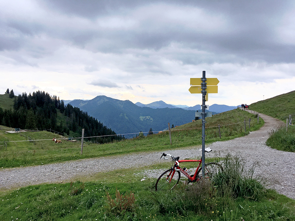
Above the sign and a lady on a mountain bike who had stopped stretching before the steepest section below where we both came up. Here I am looking westwards.
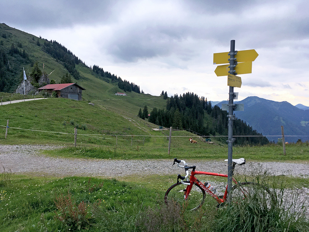
Here you see the Wallberghaus (this road ends further ahead).
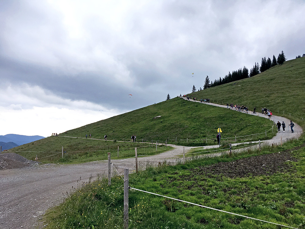
Here one of two photos I took up toward the top of the Wallberg where there is a restaurant (seen from below on the steep section). There is a chapel cut in the photo to the right here from where one should have nice views all around and over the Tegernsee (before reaching it). The road was maybe fine enough for a road bike, but so many walkers and I already did good enough and as far as I had planned here, so I turned around.
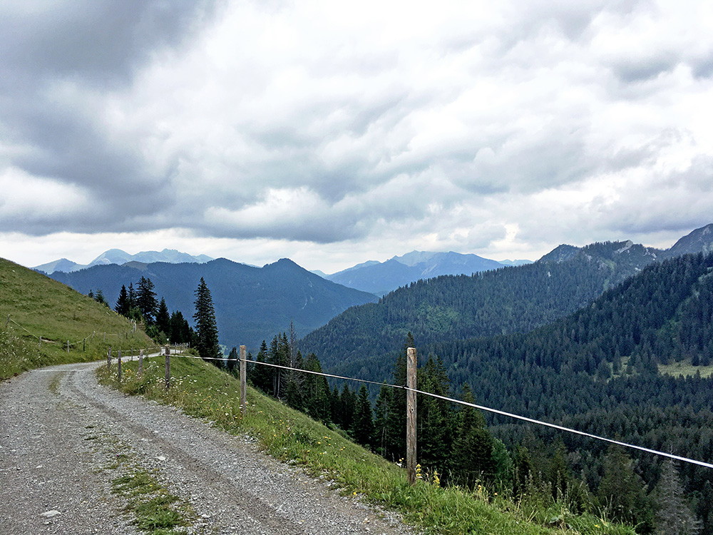
The last gravel section (it gets steep just after the bend seen here) – it would have been much easier with a road bike up here if only they had paved the 150m (?) last steep ramp too.
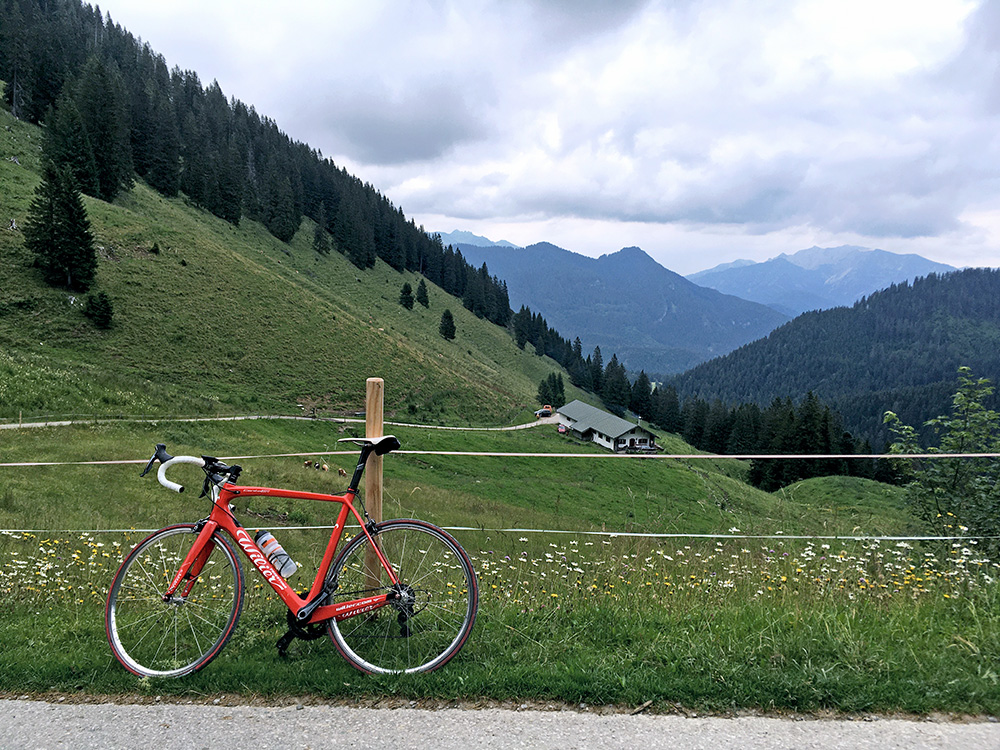
This is the view above the last farm from where the asphalt ends (1439m) and you can sense it is fairly steep up here. The asphalt part is 12.9% for 4 km from the turn-off below and the steepest kilometre 16.2%!
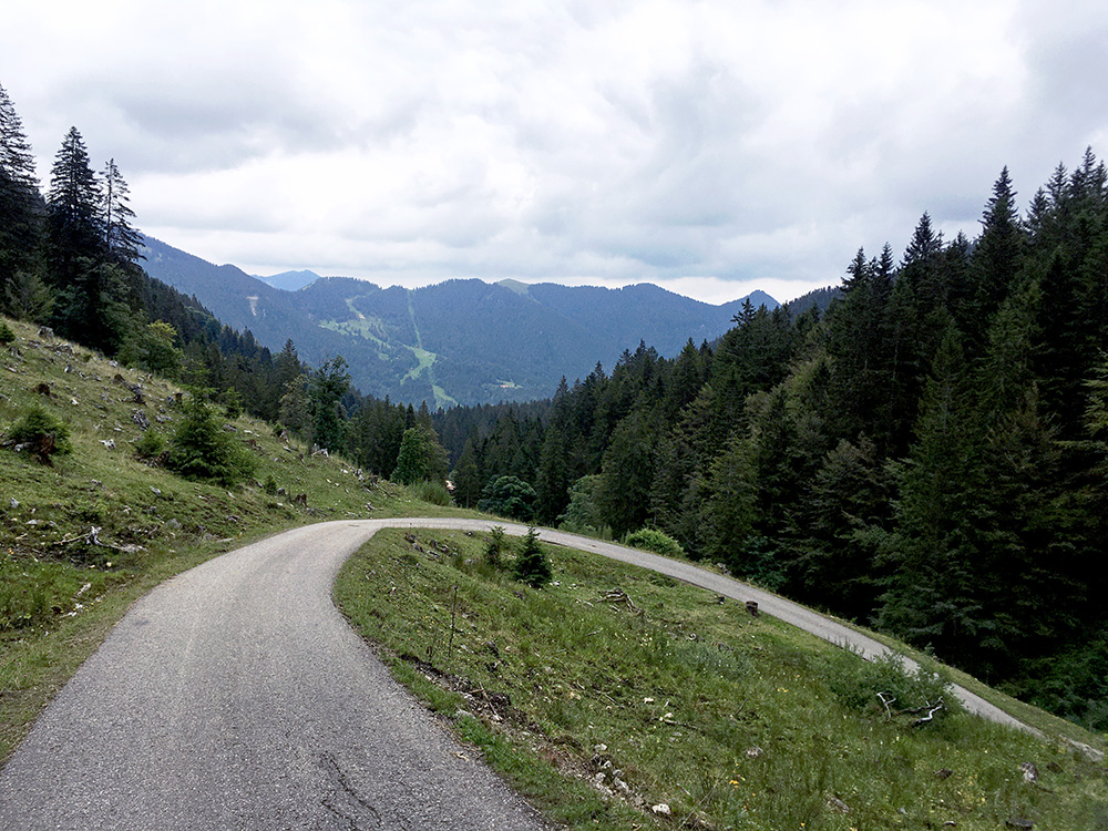
One of the cool steep curves up the narrow road!
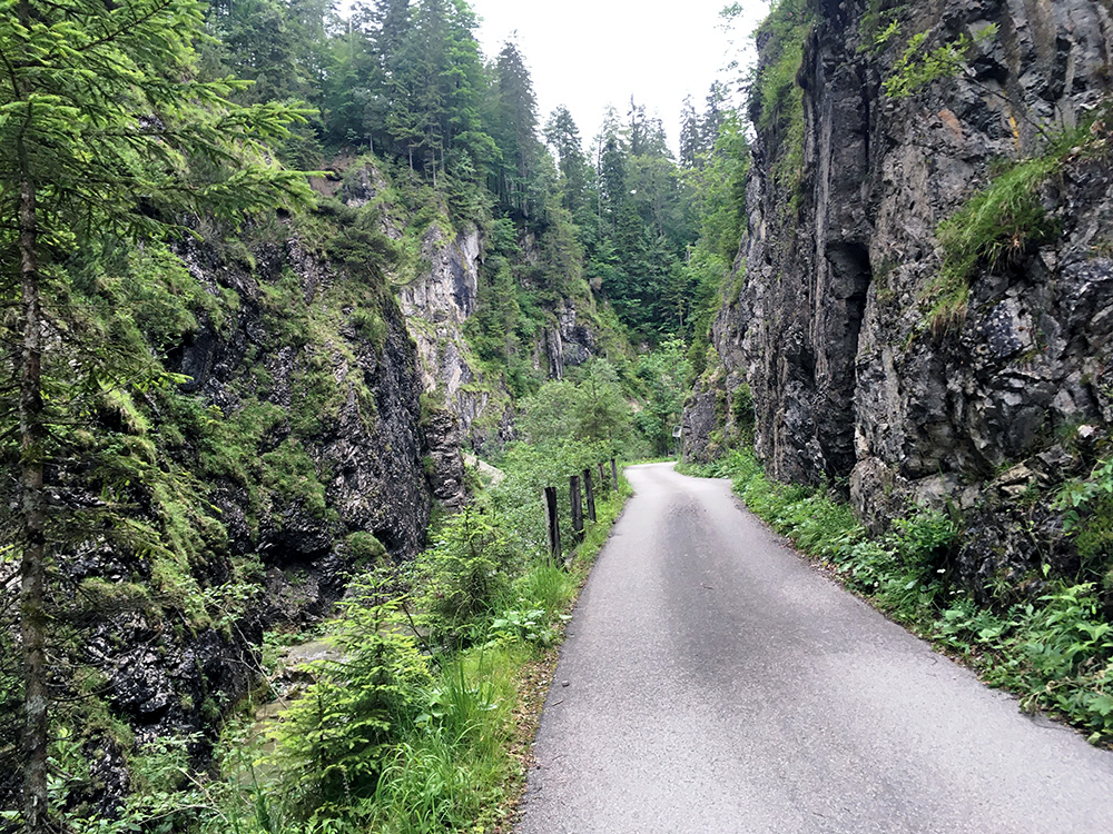
Back down on the Valepper road the road continues up over a pass called Wechsel (1034m). and then down along a stream and the road becomes even more narrow, but all paved.
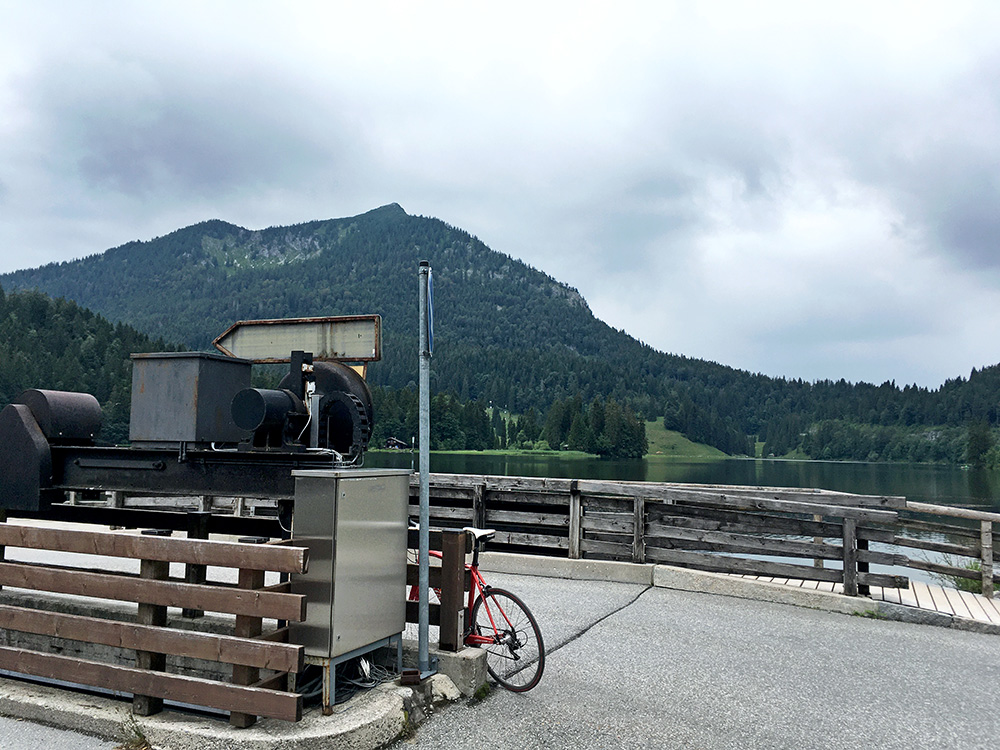
Then at a fork shortly after the photo above here (looking back), the climbing starts again a bit steeper up to Spitzingsee (photo). Right across the sea and a bit up the woods there the Spitzingsattel (1130m) is located.
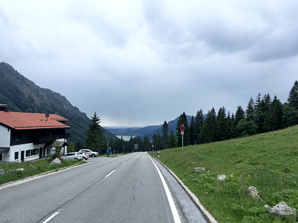
Here I am just at the start of the nice descent from Spitzingsattel. It was a very fast descent to the road junction (maybe like 5 minutes and over 60 km/h on average). Obviously one should go up here from the north, but neither side is very hard (at least not compared to the Wallberg road).
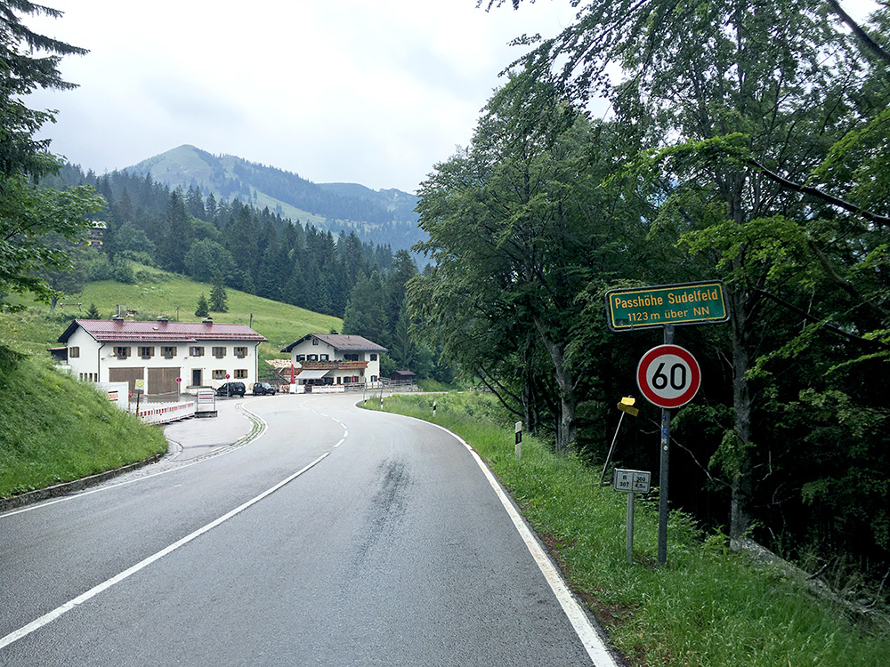
Then slowly up to Bayrischzell, but despite thinking that there would be no rain now, I had rain there and decided to stop again at a rather dull place at the road junction. It seemed like the rain stopped as fast as I stopped there, but when I later got out I only got like 300 metres before it started to rain heavier than it had done during my whole stay, so had to take cover briefly again, but then continued up in drizzle to Passhöhe Sudelfeld (1124m). It stopped raining as I approached the pass (also a BIG, like Wallberg and Spitzingsattel). Also saw a few other cyclists and it was weekend after all. I went fairly slowly when it was wet, but soon it got dry again.
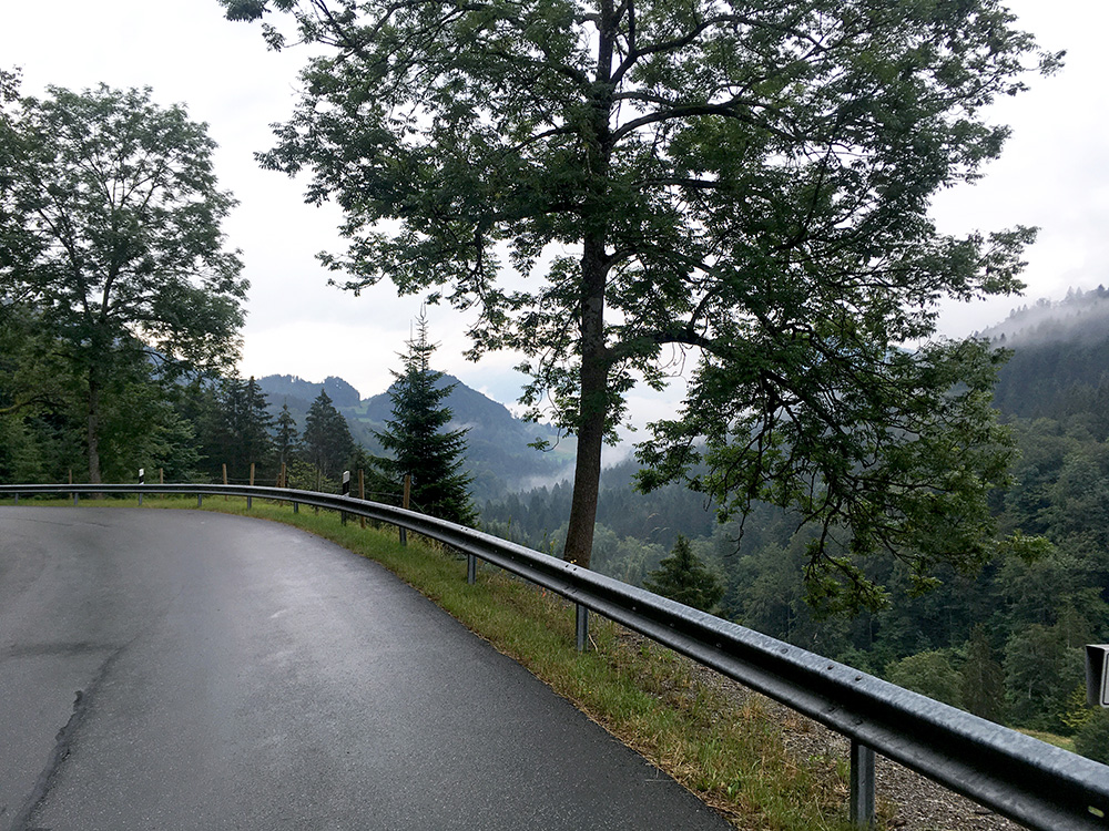
I stopped further down the Tatzelwurmstrasse for a last photo. Nothing more outstanding this day even if it was sort of nice in the evening back into Austria. I crossed over the Inn a final time in Oberaudorf (short-cut was not possible as planned). The border is the Inn river itself here. I stopped shortly again in Niederndorf for a coca-cola, I believe, and then did not stop until I got to Erpfendorf on a very straight and flat road (similar to the road op the Lechtal and some other roads coming from the north into the Alps.
Tried to find a place to stop at on the way up to Erpfendorf, but it felt like I was in no man’s land here with extremely few buildings along the road. Also in Erpfendorf I found nothing and continued a bit up the road to Waidring and found a sign for a 5-star hotel – that was not really what I was looking for, but I needed to stop somewhere fast now. I saw another hotel, but it was next to a golf course and did not come across as a cheap place either, but had to go there and ask for the price (I got a somewhat decent deal with dinner, so stayed there). A somewhat luxurious place, but not as good as almost all cheaper places I stayed at (like always).
