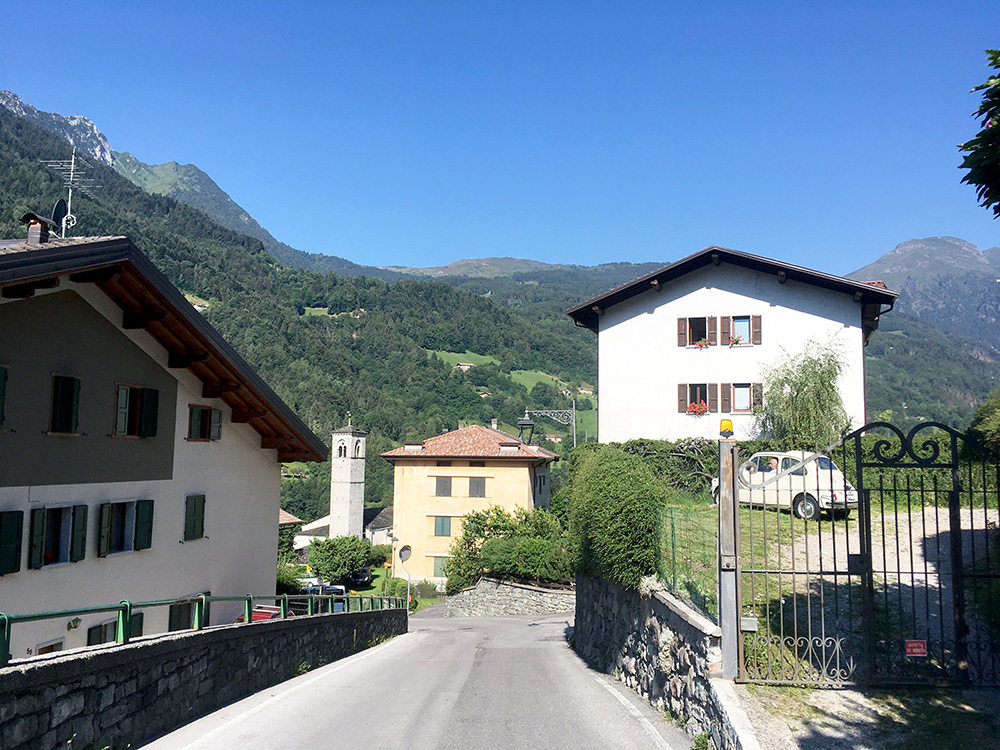
A very nice start of the day and as usual, I should likely have gone away a bit earlier, but I am not a morning person, if I need to tell you. 09:20 was the start according to my computer and it was already a bit warm outside. Luckily I was a bit higher up and was not going down for some time (in fact for a longer time than I anticipated). I stopped for this photo on the short downhill into Bagolino, then went through the village and starting the climb to Passo di Croce Domini.
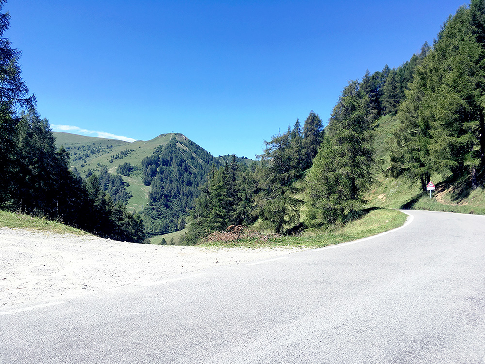
The road was in a very good state and later on I realised why as they were still working on putting on new asphalt. Around there two speedy guys passed me by, but I was not really in the mood for fast cycling now (nor do I believe I would have kept up with them for long). I had noticed some hotels up on the road over here, but none seem popular in the area, so was happy that I stayed before (even if such judgements may well be wrong). It was such a nice day I even said hello to a female motorcyclist I met near the first minor pass – the Goletto di Gàvero/Goletta del Gaver (1796m) (the stone I photographed here too says Goletta di Gavero – many minor name variants). This is looking ahead at the pass. Looking back also nice, but nicer still a bit further on, so on to the next photo.
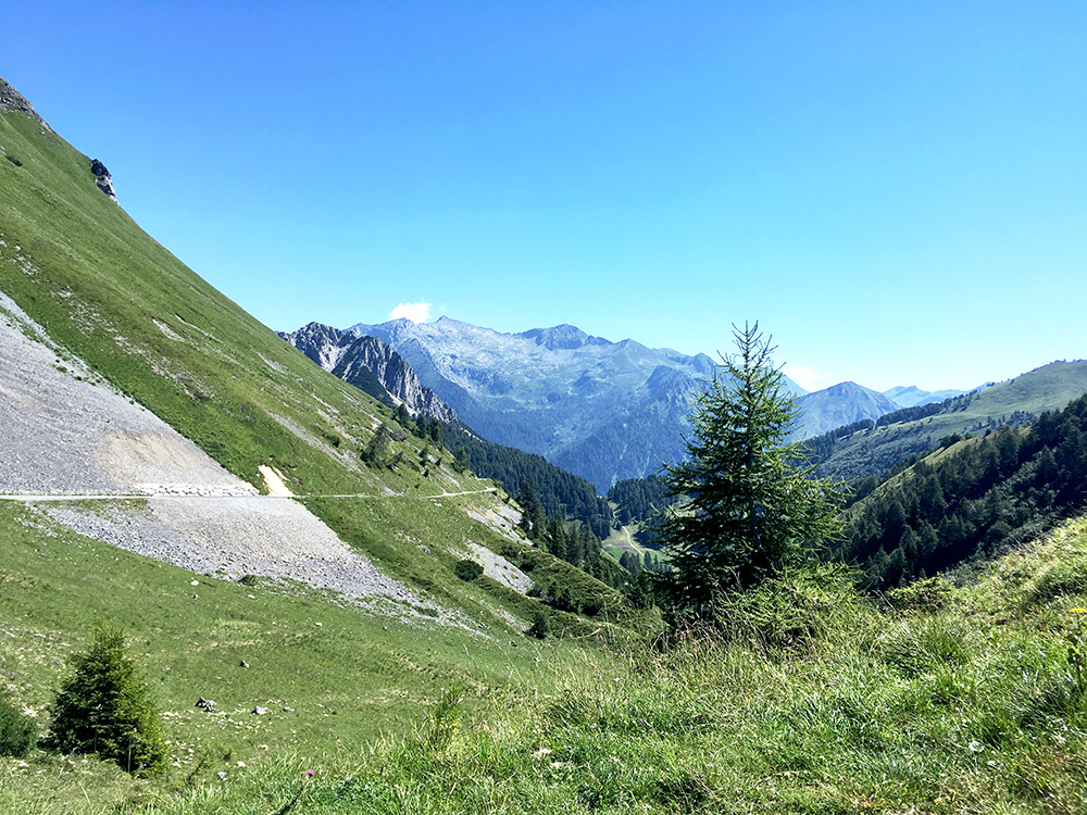
You see the Goletta di Gavero below here.
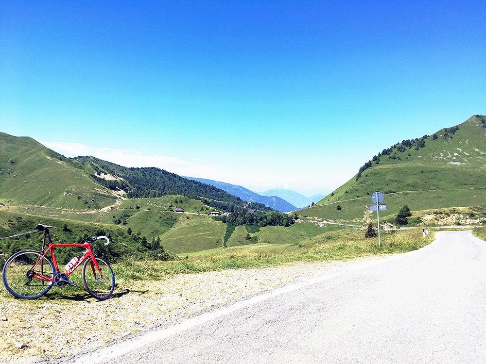
Now I eventually reached the high point of the road to Breno and this is not the Passo di Croce Domini, but another pass called Goletto di Cadino (1937m), but everyone and the signs all refer to Croce Domini as the destination up here for the simple reason of the important junction at this lower pass.
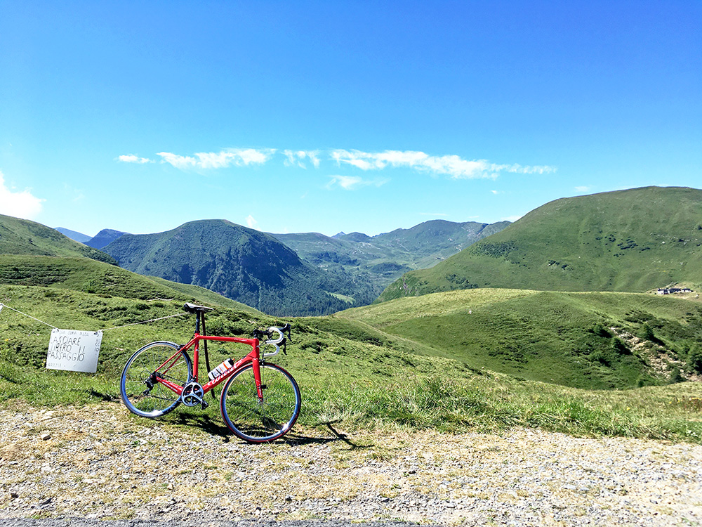
Another view from Goletto di Cadino looking south.
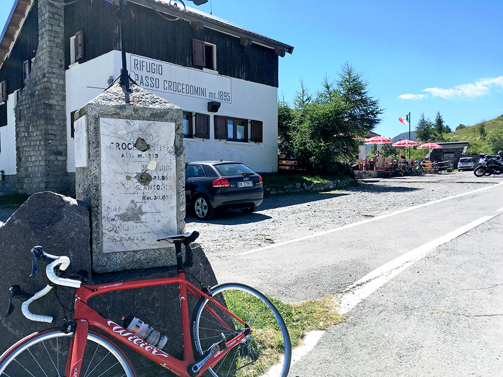
Down at Passo di Croce Domini I stopped for some quick photos in every direction. Here you can get a beer after a long hot ride up from Breno, but I had no need for that now, so continued down.
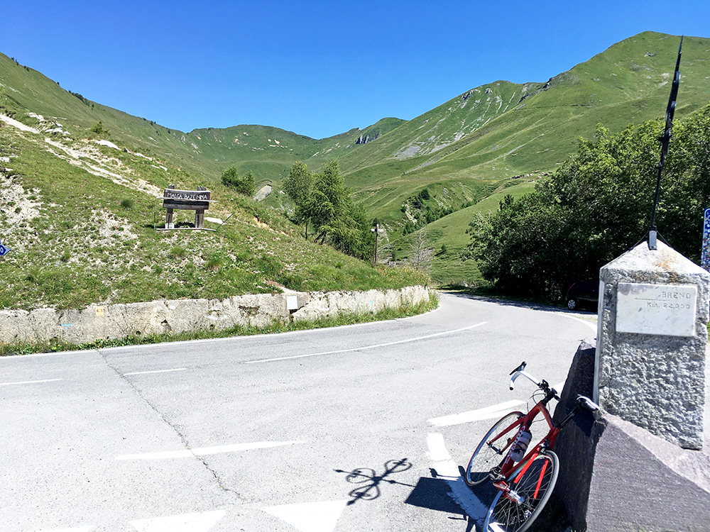
Looking back from where I came.
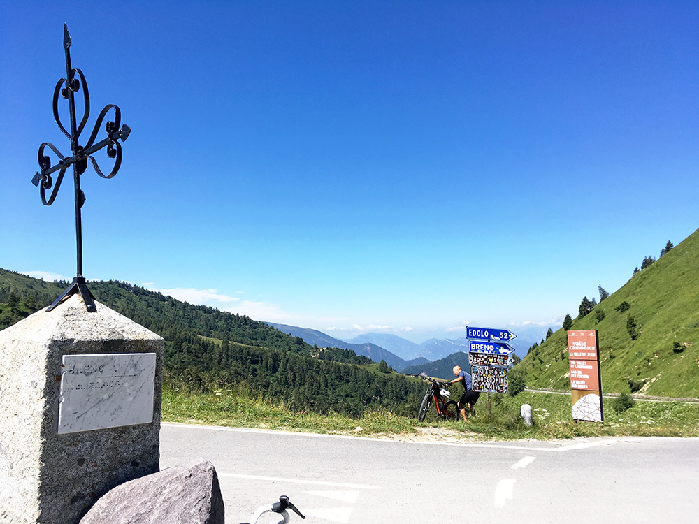
Looking ahead with great views and a mountain biker coming up an alternative way … .
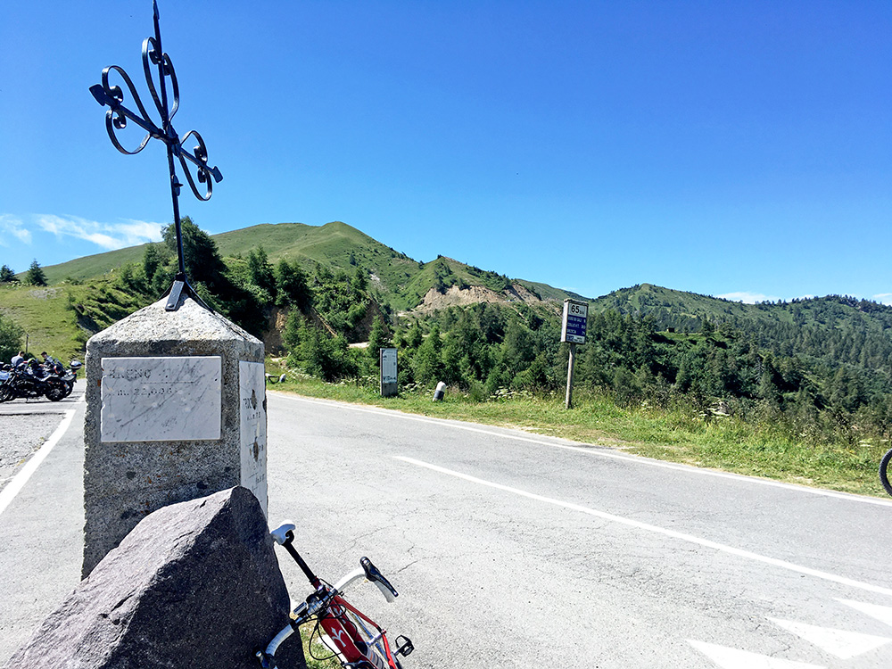
Here starts the gravel ridge road south that has so many passes along the way and several above 2000m and it becomes asphalted again before the high point and continuously a bit after that point. Few pas collectors have missed to visit this road and it is quite nice, especially if one starts down by Anfo at Lago d’Idro as I did back in 2003.
Now on the way down to Breno (or Prestine) I thought hard about a planned climb that I in the morning more or less had decided to skip. I had found a somewhat obvious unnamed pass – (Malga) Travagnolo (1499m) and as it appeared all asphalted to the top from Prestine, but not from the Campolaro side (the valley of the road to Passo di Croce Domini) the original idea was to descend to Prestine and climb up there and back down again on that side. However, I had noticed in my planning that the road from Campolaro was not so long nor did it have many height metres compared to the other side, so thought that if I take this easier side then I would have at least explored this pass road in a way that might not cost as much time from Campolaro.
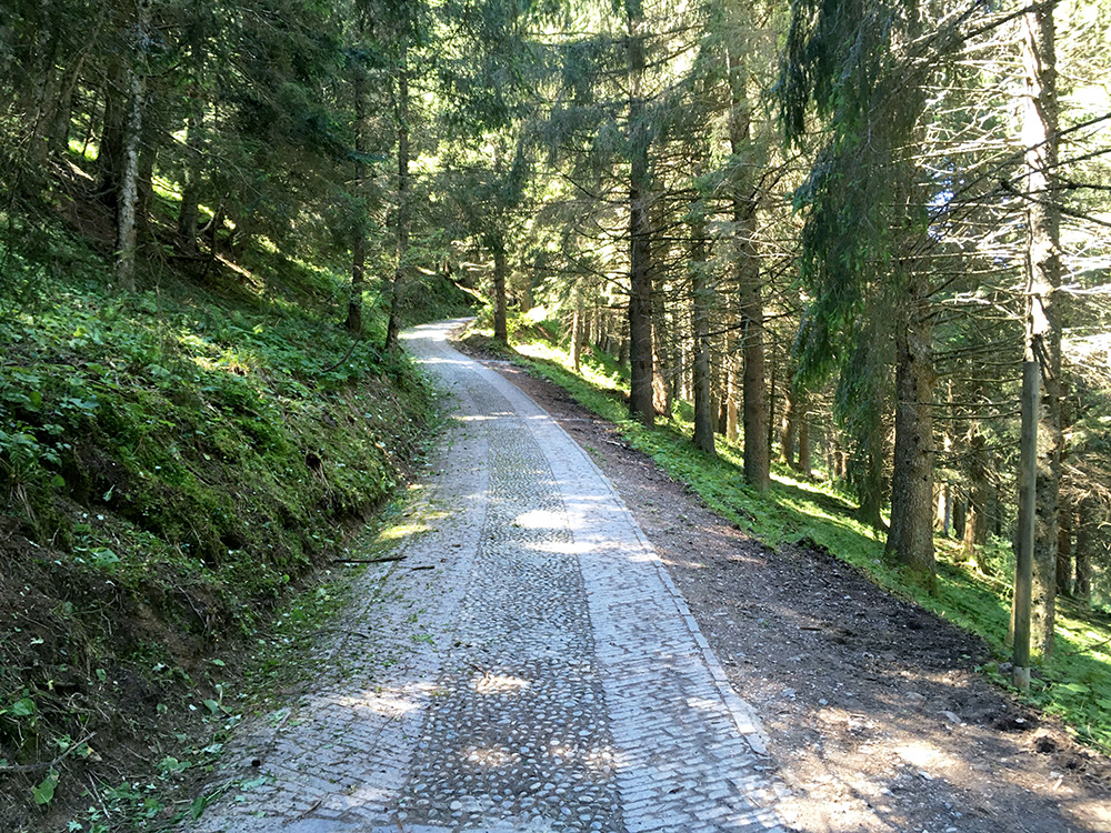
I turned off the road at Campolaro (1419m) and it continues almost flat down to Ponte di Fontanazzo (1460m). Here the road turns to gravel and I almost turned around, but apparently I was a bit too curious … . There were forestry work here and it looked very bad, but road soon improved and just a short while later it became paved with fine stones much to my surprise (photo).
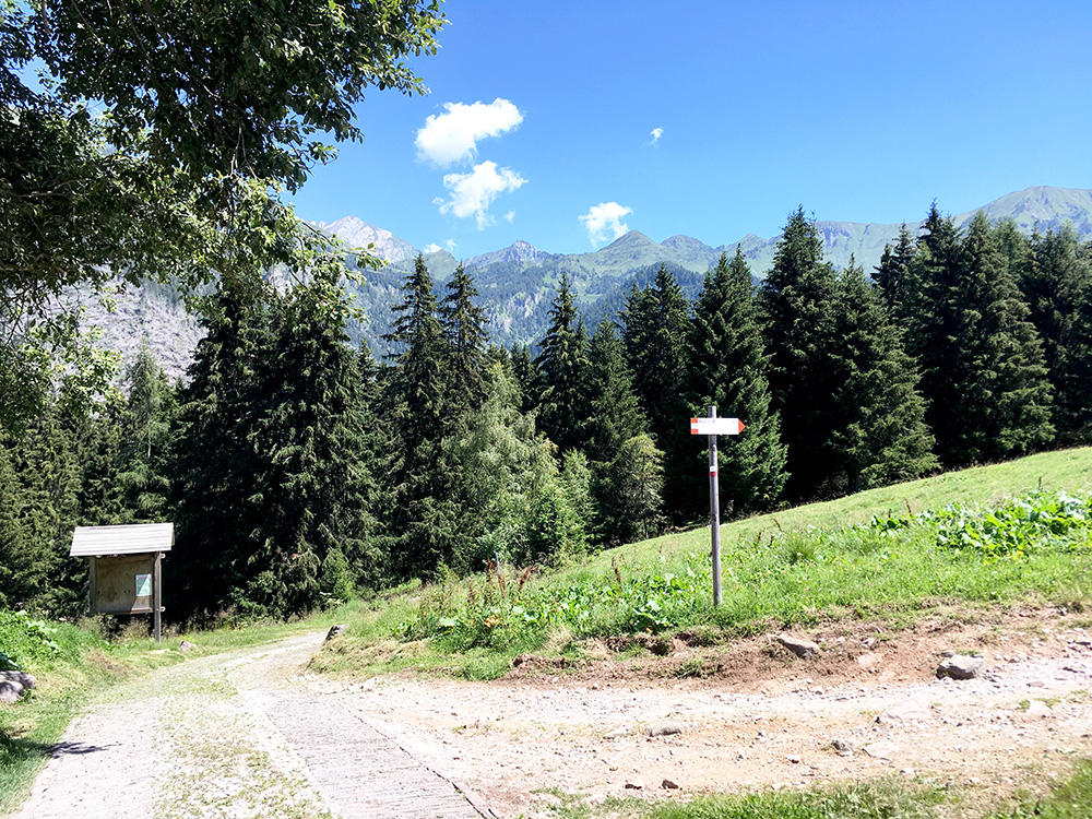
This section was very steep though and if it had been wet at all (likely often here) I would not have made it up! Just a bit of grass or debris would have meant I would have fallen, but I was lucky and made it up to Malga Cogolo (1542m) which is thus a paved road apart from maybe just like 300 metres or so. Malga Cogolo is actually higher up (the high point on this road) than Travagnolo.
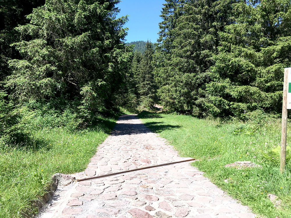
I had a photo of the Malga too, but it was in ruins since long ago. Now, there was pavement also down on the continuing road, but with the typical old fashioned very big stone with big hard edges and although it would be super fine with a mountain bike, this is only really possible to ride on for the lightest of road cyclists (I am not one of them), so jumped off the bike after a few metres as I was not interested in a flat here. When the gravel returned I could cycle again, but then came more stones like this on the climb up to Travagnolo and had to talk up there (and had so expected beforehand anyway).
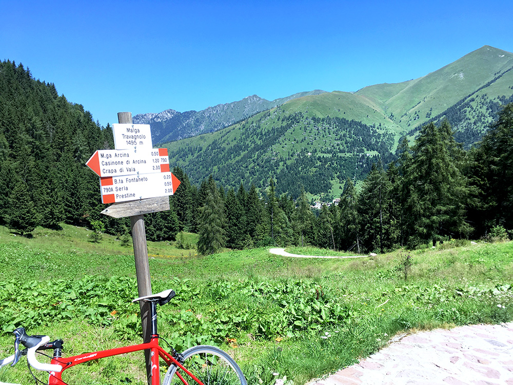
Here the first sign at Travagnolo and the worst gravel is between here and the next nearby sign. The pavement looks nice and would have been if the edges would just have been slightly more smooth. Skipped the photo of the next sign.
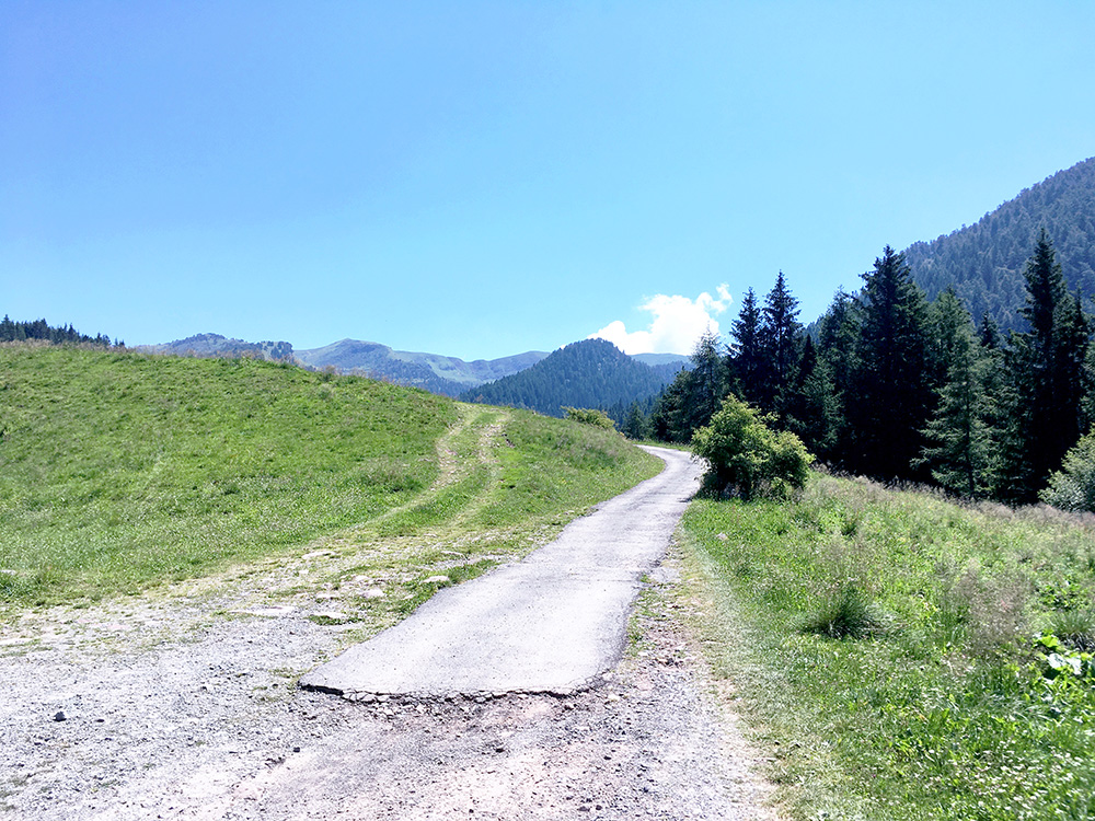
Yes, I see asphalt and now anticipated a nice downhill ride to Prestine, but it turned out this would be more like a nightmare ride.
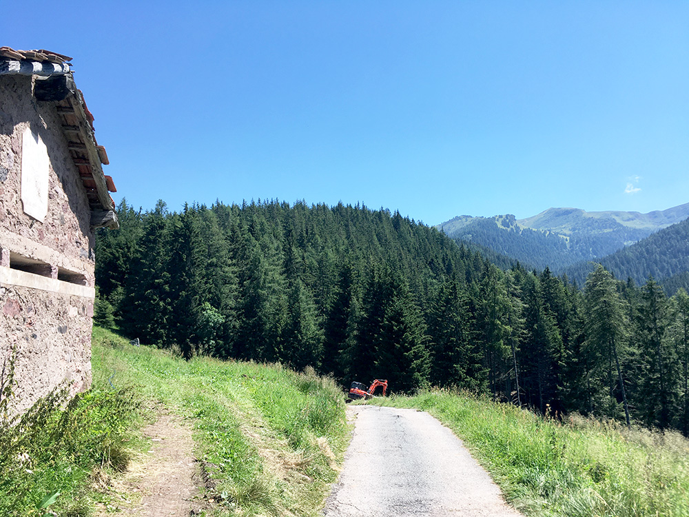
Just around the corner above is the malga and high point here. A caterpillar is seen but no cause for alarm yet.
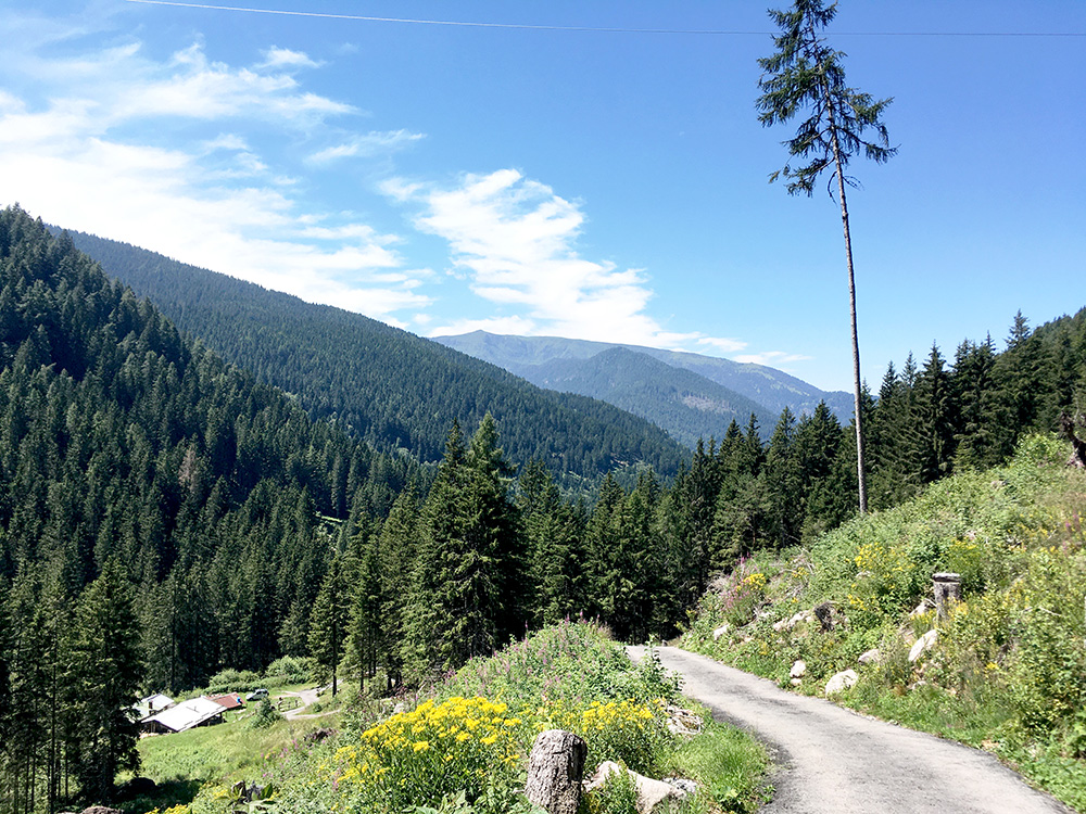
Around the next turn and guess I was partly stopping for so many photos because I was not too keen of getting down to the heat down around Breno. This still looks all fine, but was it not a bit steep down here? It was. I think I cycled down there, but maybe I stopped to walk the steepest part as I was worried about slipping over the metallic drainage gullies. It must have been ca. 28-29% at the steepest and in a bend with drainage gullies. Thought that was merely the difficult end of the road and that it would get less difficult further on, but I was terribly wrong. One can see this road on Google street view from 2011, where I found it, but was then densely forested at this place and one can see the road was not better then (it is actually paved a little longer now).
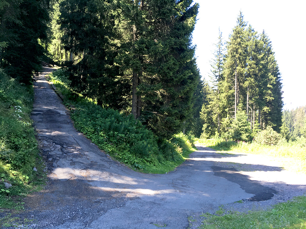
The road got worse pavement, but could ride down to here with some dangerous spots that I nearly was not prepared for but managed. Which way to take – hehe … the ramp up there was bad and it was like 29-30% and could not see it get less steep (in my research I think I noticed before that it would not go so far (at least not paved). No It was luckily the road just ahead.
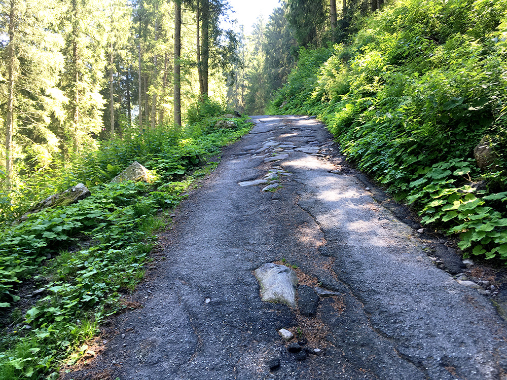
But, the road ahead looked very similar to the road up in the photo before and this road pretty much looked like this all the way down to Prestine with only some short better sections. Basically big stones with some asphalt over them to smooth out things enough for 4-wheel drive vehicles. I met some jeeps coming up and even a very old lorry came up (bigger than the road, but met it at a wider place). I think the ones I met looked a bit surprised at me. Stopped to walk shortly here as it was just a bit too dangerous to try and cycle down with the uneven surface and ca. 28% steepness.
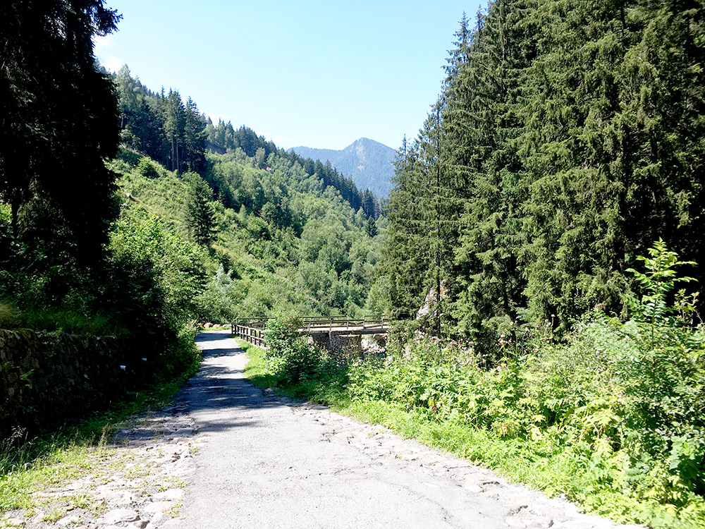
Down by a bridge (that may not hold up for too heavy vehicles). It went a little less steep around here, but steepness would return here and there all the way to Prestine.
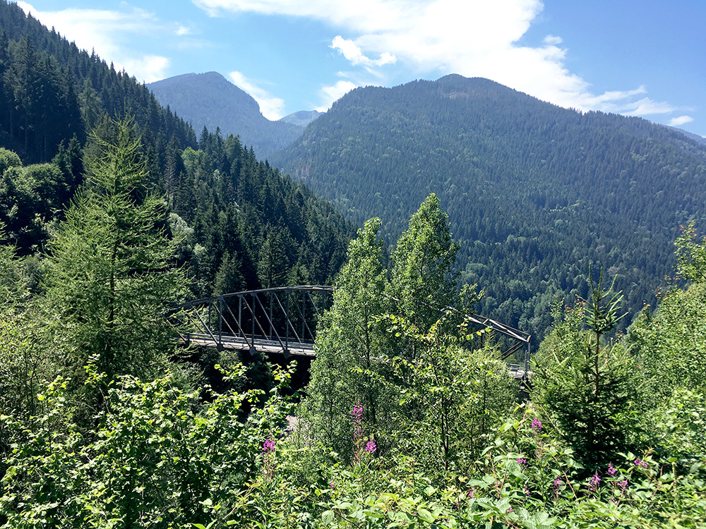
Another bridge (Ponte di Sesa) that looks like it is suspended in the air here. I believe there was only a gravel road or none at all on the other side and not the way I went here.
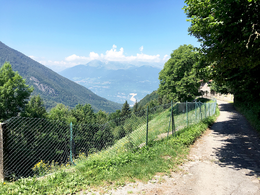
A last view down the Valle della Grigna and I thought the road was going to be good from here on, but it was not.
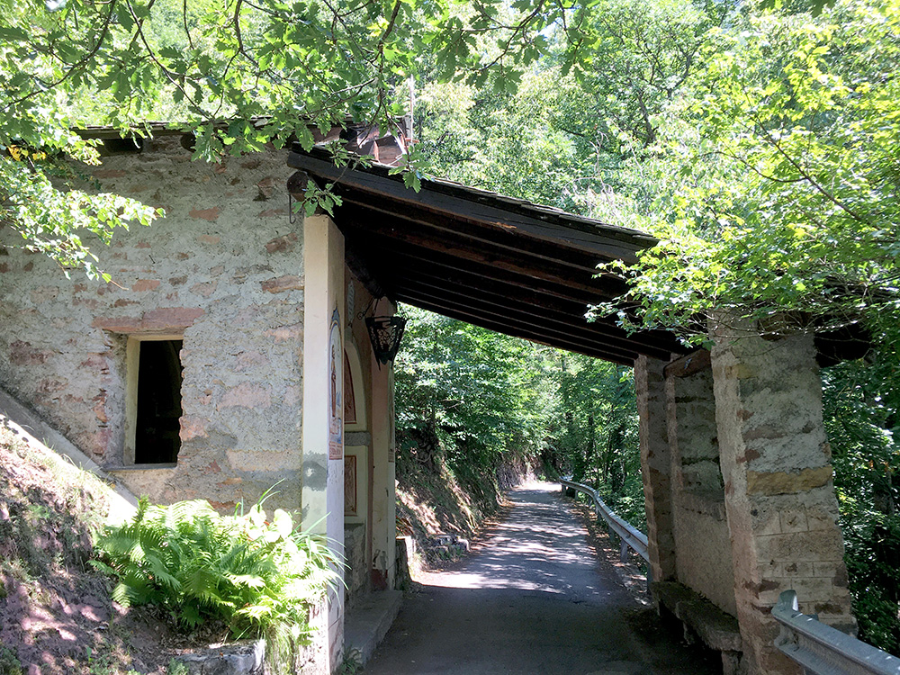
A nice place that looks a bit like on the road up to Halltal in Austria where I was earlier. Hard to understand the big lorry managed to pass by here, but maybe it was not so big as I remember it.
When getting down to Prestine the roads where finally good again, but not until just before. It was hot down here and I did not really want to stay and kept moving on through Breno and up the big Val Camonica. I asked a guy on a bicycle I caught up with if he knew where the next gelateria was and it was in the next village ahead, Ceto, where I stopped for an ice cream and a coca-cola. Then up to Cedegolo (414m) where I had something more to drink by a gas station.
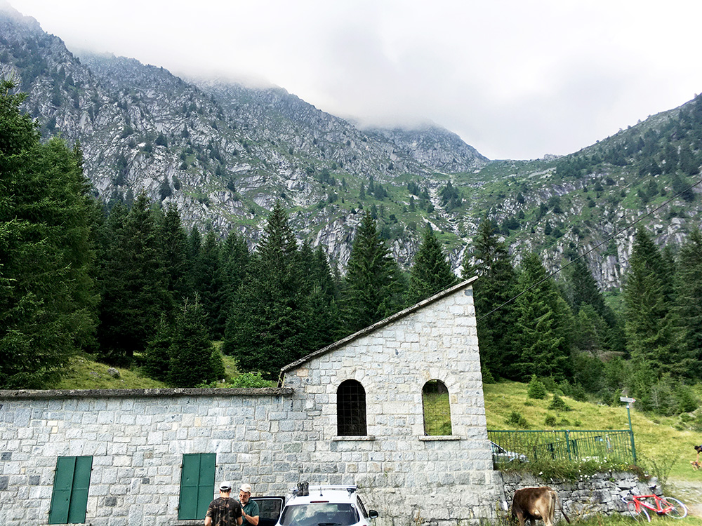
From the centre of Cedegolo I had figured out the shortest/steepest road starts the climb up here and I found the very small road that connects to the bigger one above. There are two main climbs up here: Fabrezza/Val Salarno (1444m), but there is a longer climb to the first valley which I thought was more interesting to Malga Lincino/Val di Saviore (1621m). This is the first photo at the very end of the road up the Val di Saviore.
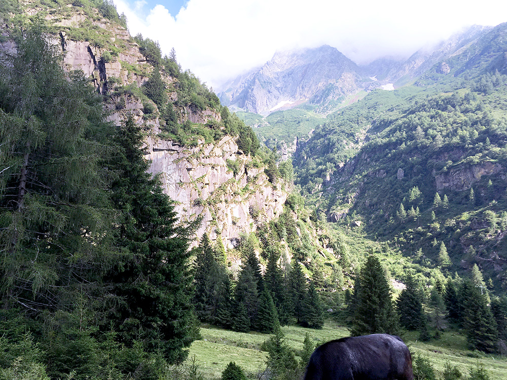
16.3 km at 7.8%. Max around 17% in a set of tight serpentines up here and similar or steeper up on the short-cut through the centre of Cedegolo. Last 4 km 10.8%. Steepest kilometre (up through the tight serpentines) at 12.7%.
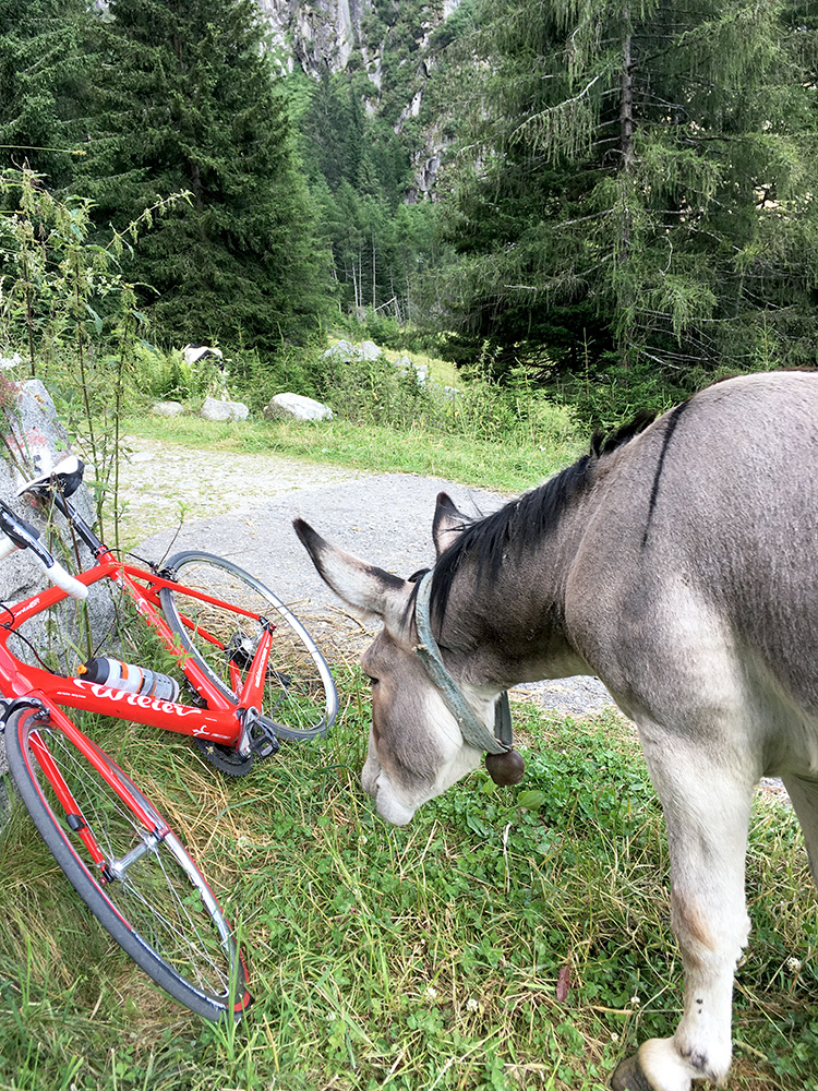
A funny donkey up here that was very social and tried to follow another guy here standing near (but out of the photos) and he even pushed him and the man had to tell him off and then he turned his attention to my bike instead. Had to step in there so he didn't push my bike too ... .
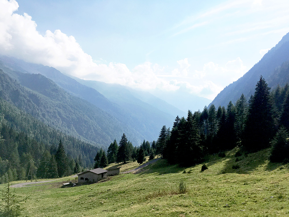
It was very hot up, but once up at Valle in the valley the temperatures were fine again. Yes, they were asphalting the main road through the village right when I came here and noticed the higher road on the map that I took on the way back down again. At Forame after some flat road from Valle I came to the view of a set of tight serpentines ahead and it looked like it could be hard getting up there. From there it was steep up to the top, but the most fun part of the road. Photo here on the way back down near the top.-
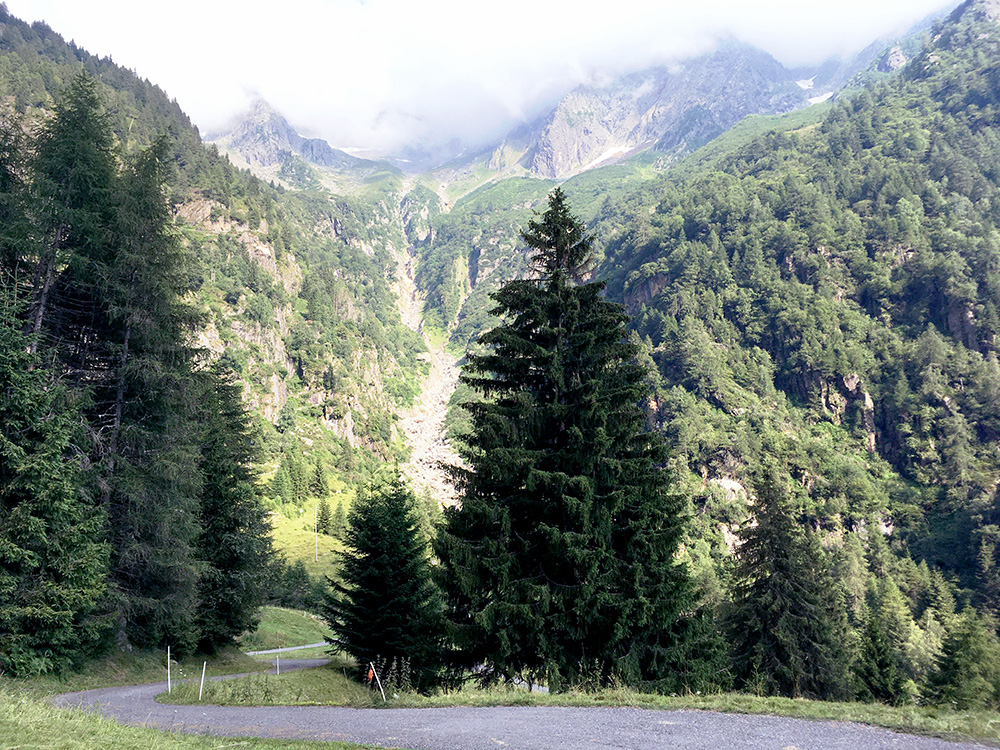
Really high mountains on the side here. The Adamello mountains here. On the other side is the Lago di Malga Bissina (1799m) (a climb from Valli Giudicarie that I have not done yet).
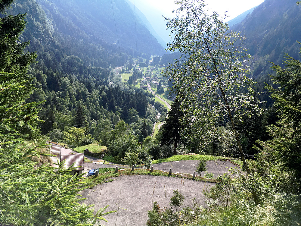
Here a few photos of the nice steep serpentine section.
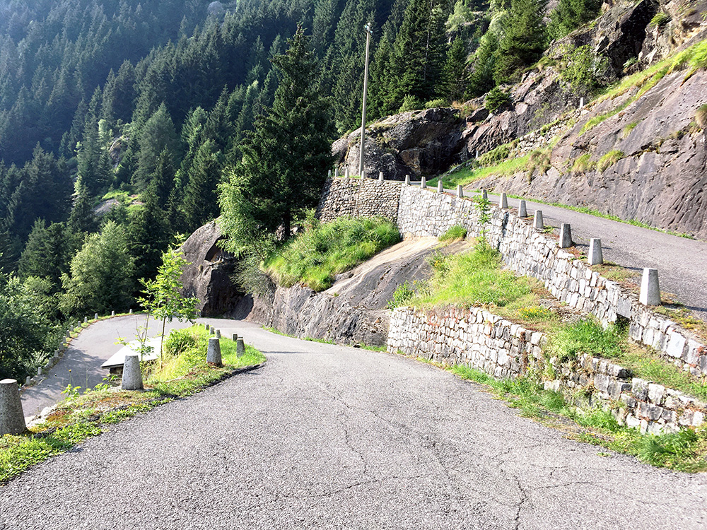
This section was a surprise to me as I had not looked so carefully on this climb beforehand.
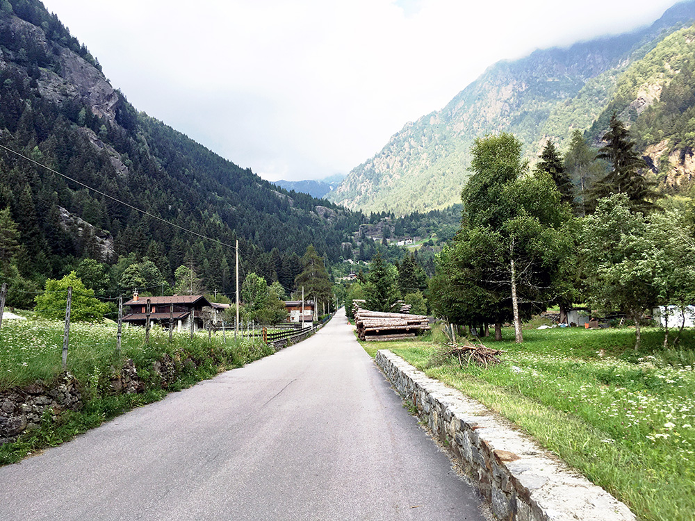
Here the view meeting me at Forame and I thought I was already close to the top, but 4 km left to do and the hardest ones. I had planned to take a very alternative high road up the Val Camonica, but saw a sign saying the road was not possible to get back down to the valley, which may not necessarily mean that it referred to the high road I was thinking off, but merely the alternative road via Cevo and Berzo down to Demo (just above Cedegolo), while I was thinking of going up to Malonno via Berzo. I started out on the road, but saw a man walking and decided to ask him about it and he sort of convinced me it was not a good idea to try that road as I could not pass by he thought. It was in any case faster to go back down to Cedegolo and thus I made that and it was likely a good idea as I would never have reached Passo di Aprica this evening otherwise, I believe.
I continued now in a better speed up to Edolo (687m) – a cyclist approaching from behind were no longer in sight after a while, but maybe he turned off soon after or slowed down. I decided tio start looking only after Edolo for some place to stay at for the night. There were no obvious place along the road there (I think I saw one place but thought it was no good), so continued up to Passo di Aprica (1174m) and it felt like a very long way up there this evening, but I kept pushing on even though getting very tired the last few kilometres.
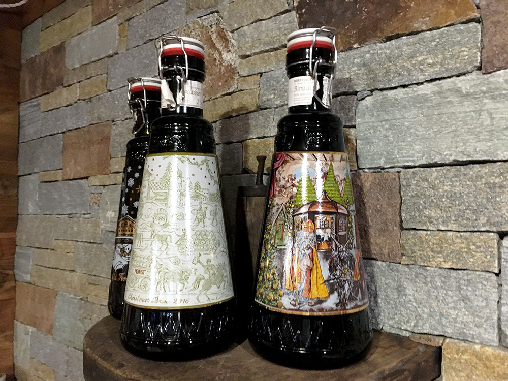
I had looked up one cheaper place up here beforehand and knew there were plenty of places up here to stay at, so that was no problem and the place I had looked up had a room and was fine, but served no food as late as I was coming around. There are lots of restaurants up here though, but not so many open this Summer perhaps, but found a popular looking pizzeria (probably a bit more expensive than needed, but prices have gone up down here the last few years. The restaurant made some beers themselves. Here a photo of some gorgeous looking Winter beers (that they told me got a bit stronger than they had planned). None of those beers available now unfortunately, but had another fine local beer and a pizza.
