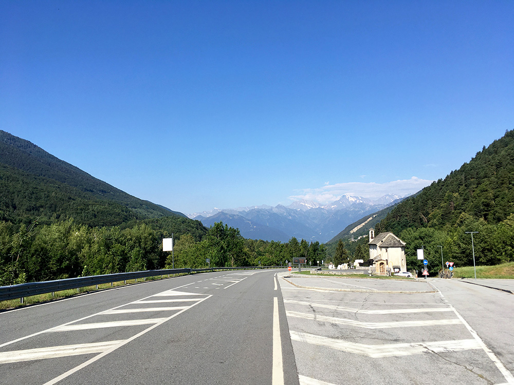
Another day that started with sun and perfect weather. This did not quite last all day though. The downhill ride from Druogno is a fast one through some steep tunnels and another year I went down very fast as I was in a hurry to catch a train in Domodossola, but this time I did not need to go as fast and that was good as the pavement had become a little less good, but mostly it is all fine (was a bit worried hitting some crack, but that was all). Nice views here at the start just outside Druogno.
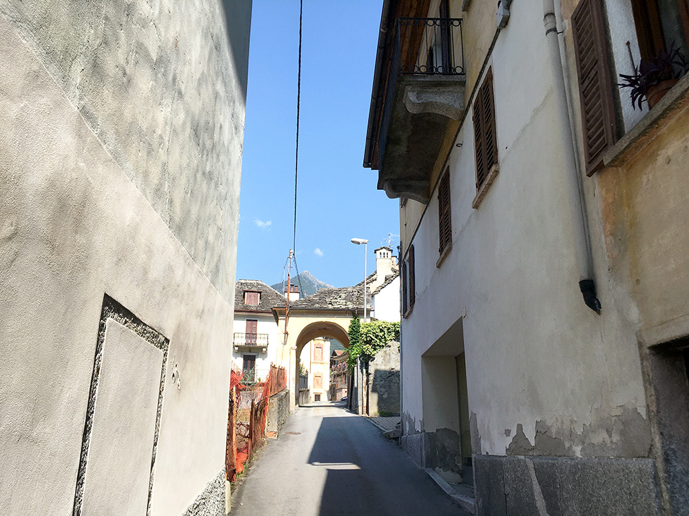
Down at Masera (297m) it was time to realise it was another hot day. I decided to take it easy and continued to Crevoladossola (307m) from where the long climb up to Simplonpass/Passo del Sempione (2006m) starts. I was not intending to go straight up there this time, but instead I wanted to explore two climbs on the way. The climb is inconsistent until after Varzo. I turned off the main road in Varzo (maybe recommended for cyclists anyway) and followed the shortest road as planned on my computer. Here is the view I had up the mountains in central Varzo (would look better without the electrical installations).
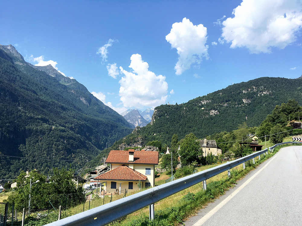
There was then a quite steep short-cut up the road to San Domenico (and Alpe Veglia that unfortunately has no road suitable for road bikes to it). This was the steepest place this day with 800m at 13.7% (max 21%) on a very narrow road where the cars had to reverse drive with their cars to get up). Then the road was nice and easy and I stopped early on for a view up over Trasquera, which was where I was going. I was actually going to Bugliaga (1336m highest asphalted point), which is lower than the high point in San Domenico, but this road is clearly more interesting. If you can notice the little church on the ledge just next to the opening in the valley in the middle, you then know exactly where the next photo was taken in the same direction (up toward Switzerland).
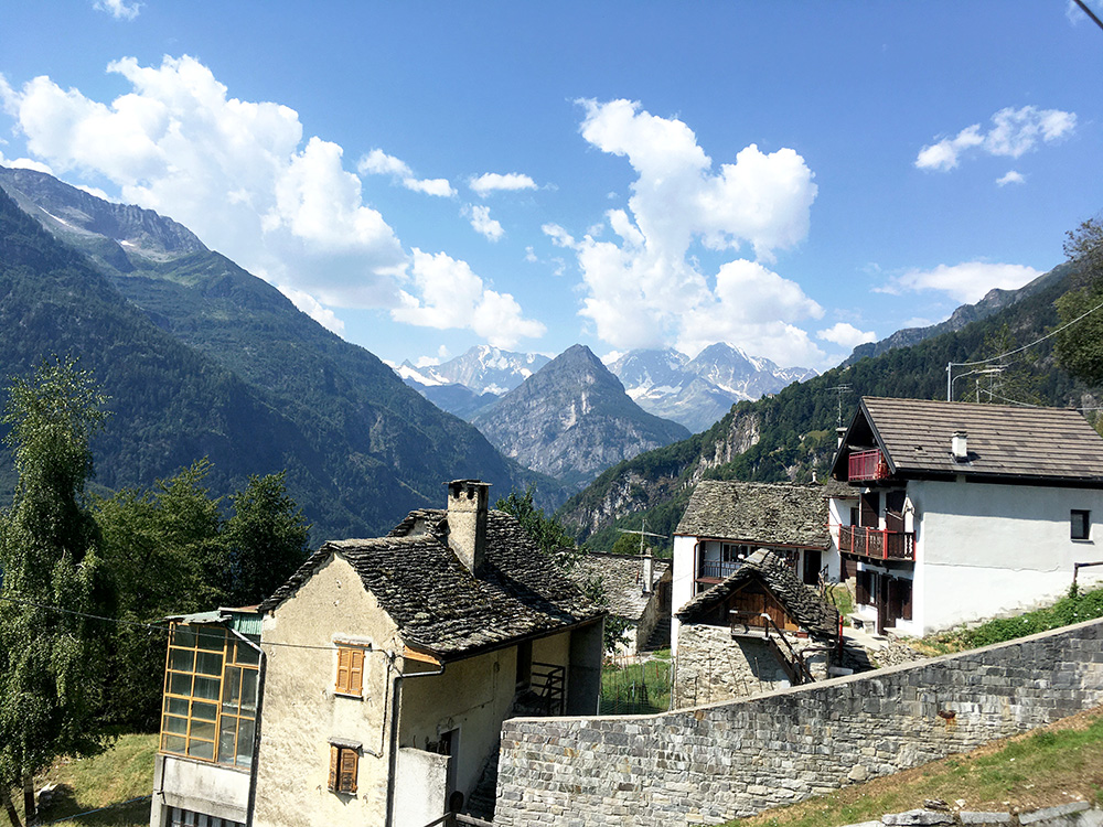
All right I arrived in Trasquera and it was not a hard climb up here apart from the short-cut in Varzo. Lovely views up here and I was lucky the weather was this good.
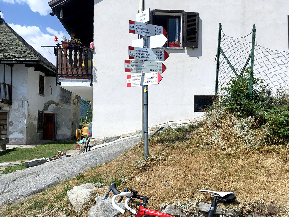
I continued over Ponte del Diavolo to Bugliaga (was not totally sure the road would be all fine, but it was). In the photo here you see a steep road going up and I continued up there to the end of asphalt (among some trees 140m on) – I almost lost balance on this steep ramp and there was not any better views up there (had two photos, but skipped them).
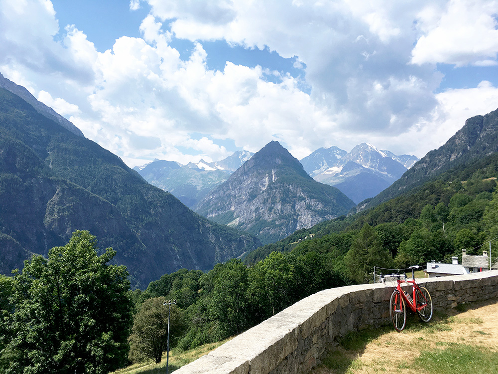
The best views were down by the church (as always they tend to place churches and chapels well) as seen here. Now I could not get further up toward the Swiss border on asphalt here (there may be some sections of pavements further on, but one does not get down there).
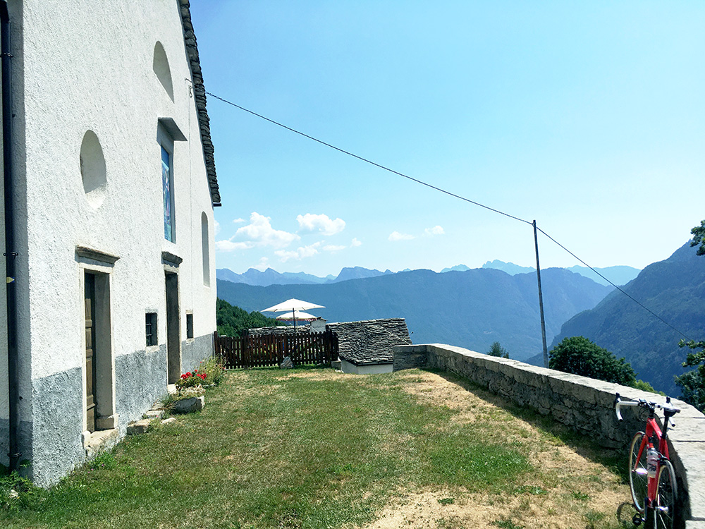
Here the view back on the ridge one the side when climbing up to Varzo.
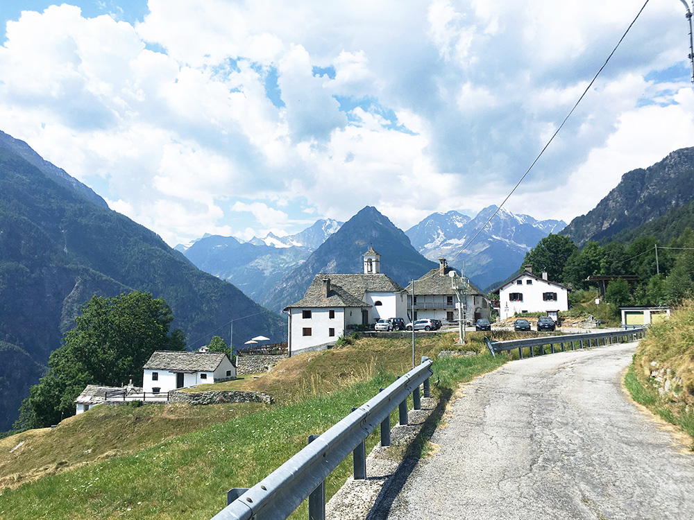
Ok, one more look on how it looks upon arrival at Bugliaga (1314m)..
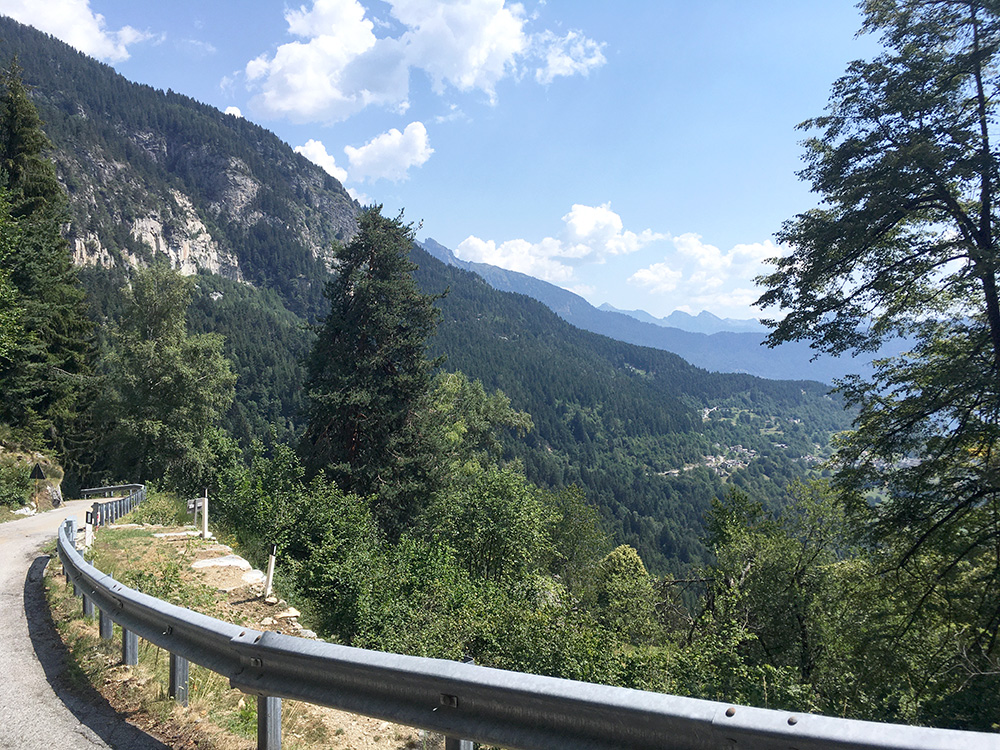
Looking down toward Trasquera on the way back down to the ”devilish” bridge.
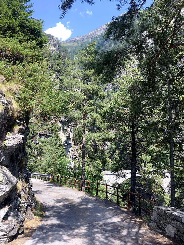
Here we have it – the Ponte del Diavolo! This is the nicest section of the road.
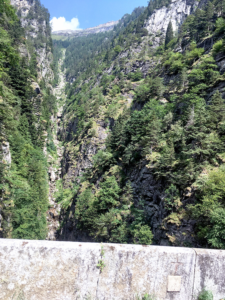
The view up the mountain from the bridge.
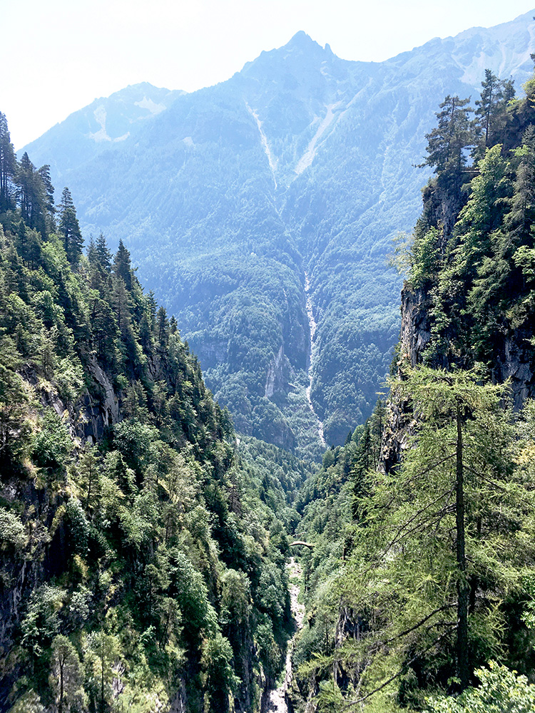
The view down the the stream and the valley up to Simplonpass/Passo del Sempione and the mountains on the other side where a similar stream appears in a very symmetrical fashion. Also notice the nice old bridge below – there is no road there, but only a track which I had some thought about checking out and the road should be asphalted some way down there and parts of the remainder might be usable (with a mountain bike it would be the obvious way to take down from Trasquera, I believe), but I did not want to spend too much time on this today, so took the normal road back down, which I am sure was faster in any case. The road is nicely asphalted down from Trasquera and then just abruptly ends with only a path continuing as seen in Google Street view.
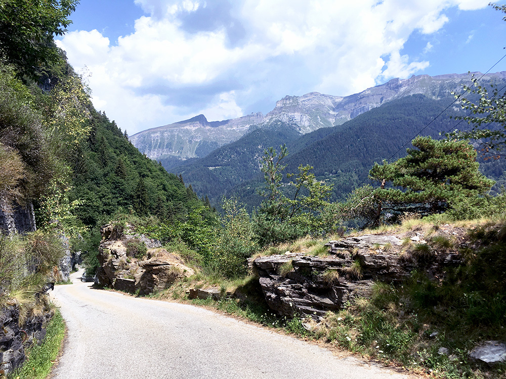
The road after Trasquera before coming down to the San Domenico road was looking better in this direction.
I got down all fine (not using the short-cut) to Varzo and continued straight up to the Swiss border, but just before it started to rain somewhat suddenly. I decided to stop at Iselle (where the odd road mentioned before comes down). This is the Italian side of the border, while there is another borde station higher up. Had a pasta and a little beer (not so cheap) and should maybe have went into the first bar instead that another cyclists had stopped by. Anyway got a little to eat (no one used masks here even if still in Italy).
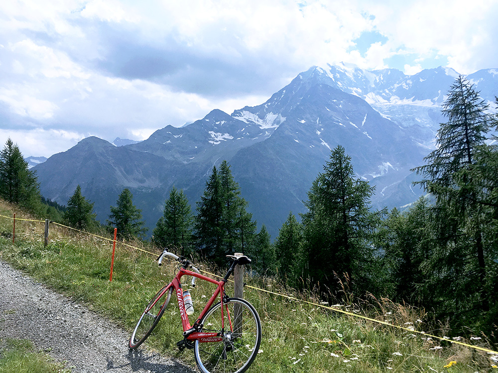
The rain soon stopped though (as so often when finding shelter in time … ). I continued but was now a bit worried the weather might stop my progress going back into Switzerland. I continued up to Simplon Dorf with some traffic partly because of road work on the Simplon road. Here it was warm and better weather again. I filled up water and continued on the second destination on the way up, which was Homatta (2013m) that is the only paved road above 2000m on this side of the Simplon pass. However, the quality of this road was dubious to put it mildly. It was mostly packed residues of asphalt and I could not really tell when the pavement ended (or if it did) and It might have continued good enough even higher on, but I was happy when I got above 2000m and continued slightly longer than planned to get some better views … this and the next photo.
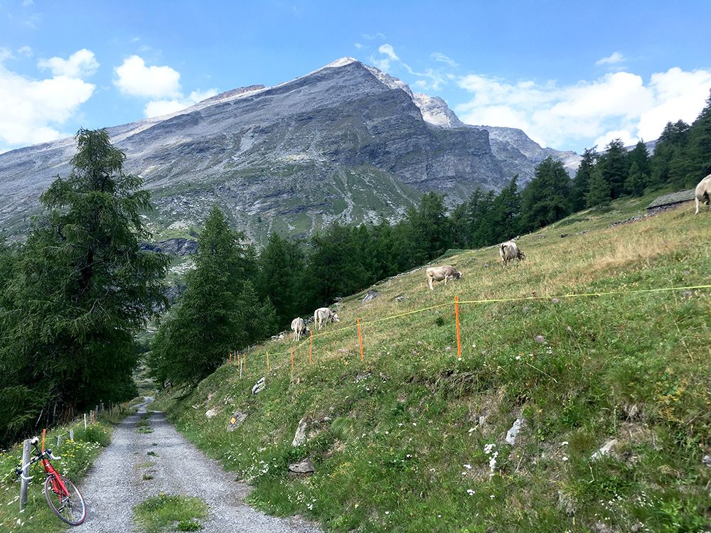
The pavement was very similar to the Puscett road in Valle Leventina and it was actually a bit worse than here lower down). The first section was all fine though but not so long (only to 1719m).
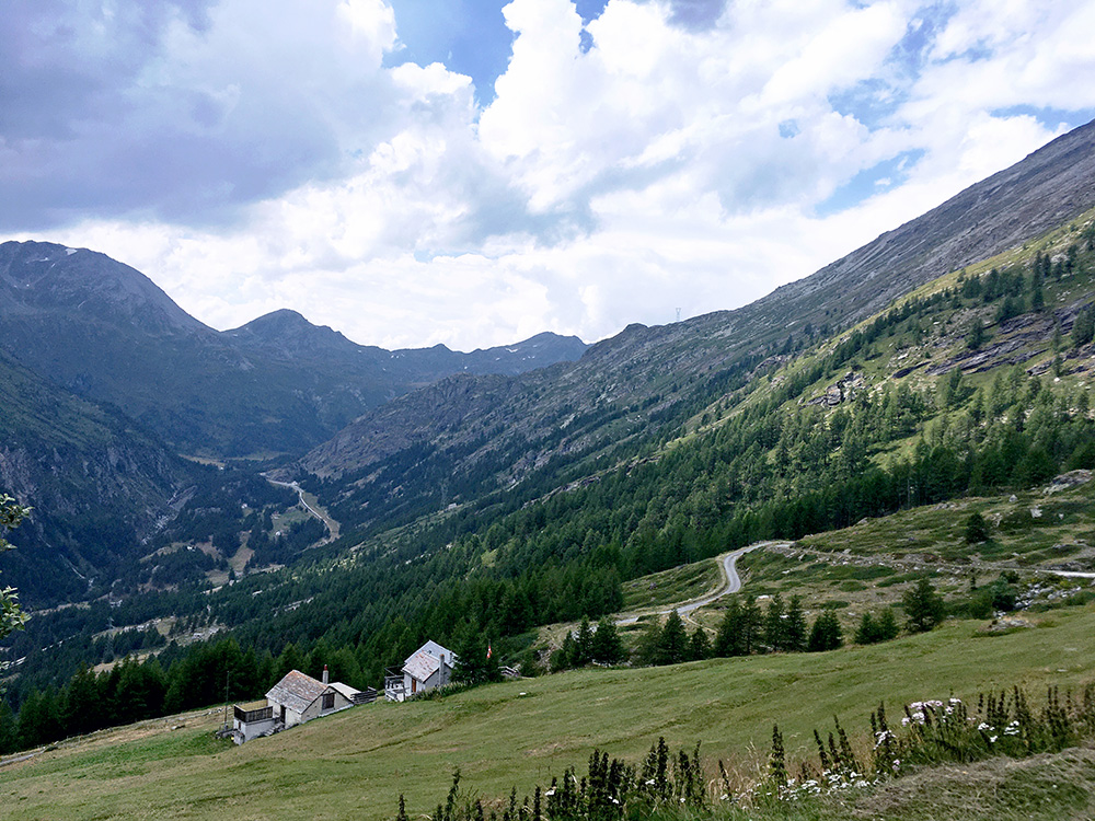
Looking up the Simplontal/Val Divedro, the weather looks uncertain, but mainly good.
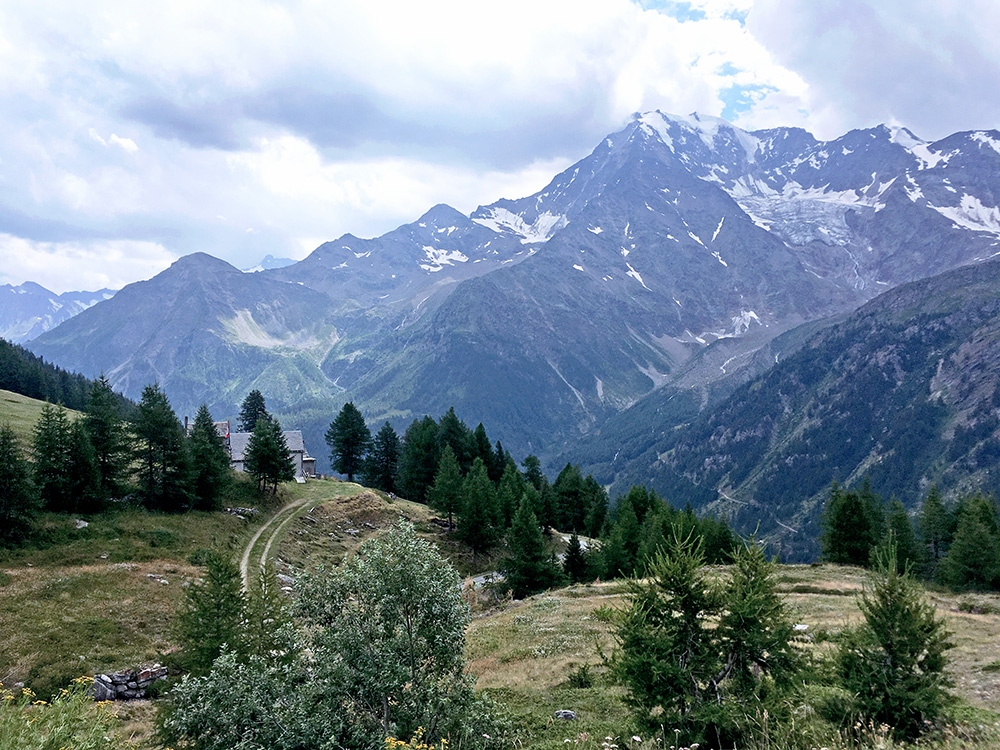
Cloudy but nice views all around.
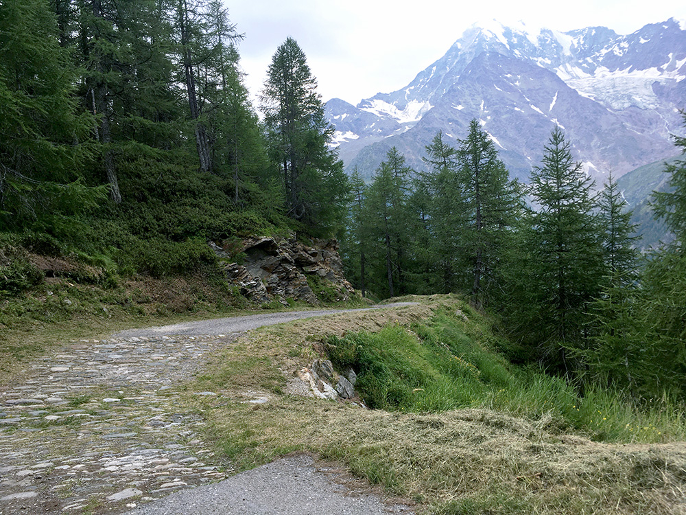
Here some real cobblestone or just stones … all fine though. Soon after this the rain suddenly started again even though I could not quite anticipate it. I did not get down until it started to rain heavily (some mountain bikers hurried on and maybe escaped it or did not care). I could not find any place to take cover. Was close to stopping but it was not a good place and continued and thankfully the rain stopped before I was all soaked in water. Mostly dry feet still and I just continued up to Simplonpass/Passo del Sempione (2006m). There are also some long galleries on the way up giving cover for possible rain.
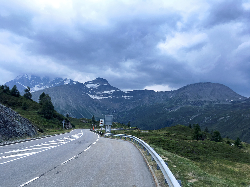
As I reached the top I looked back and it seemed like I was very fortunate not to having lingered on longer down that side. It looked very bad. I was crossing my fingers I would get down to Brig on dry roads.
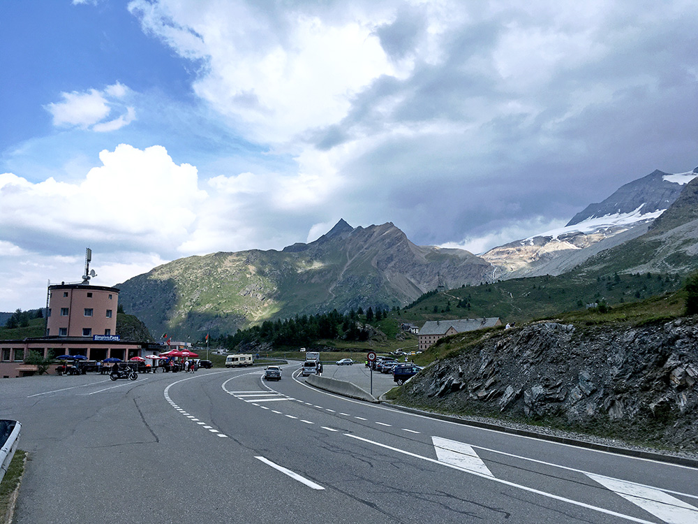
Still I allowed myself to take several photos as I felt confident I would escape the rain.
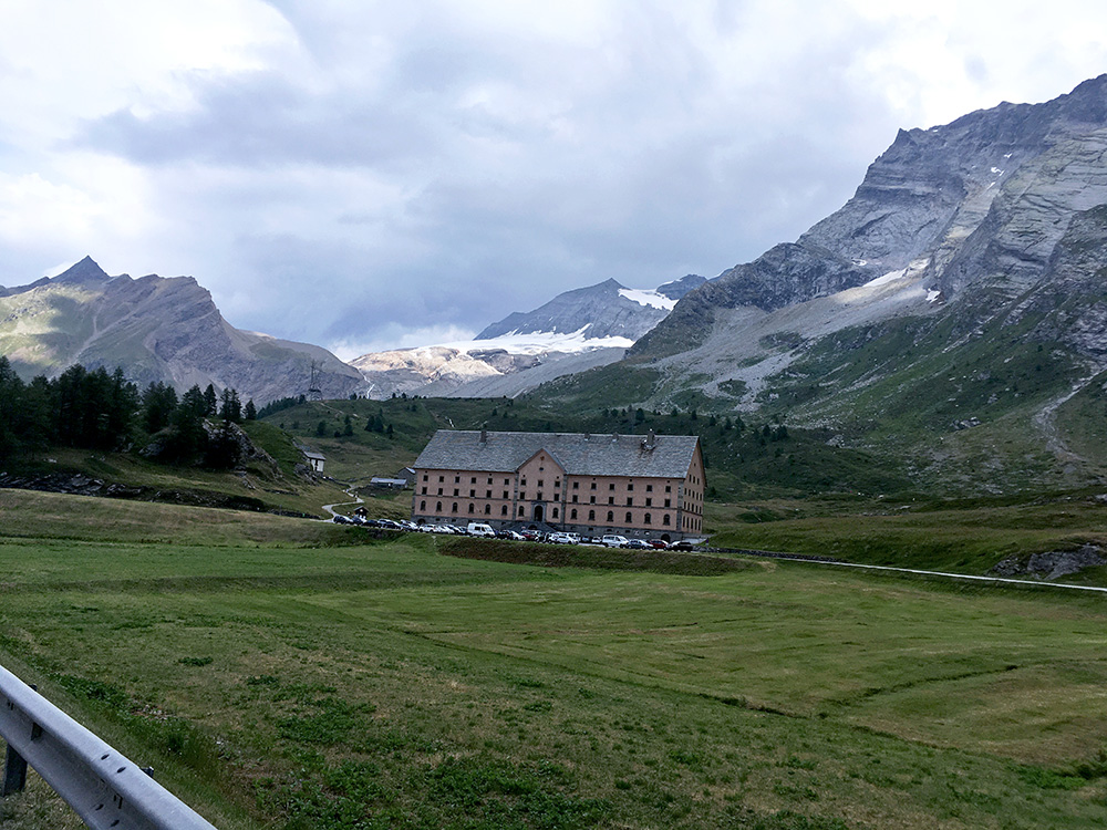
It is always nice up here and maybe a little less traffic than usual (probably also because of the uncertain weather).
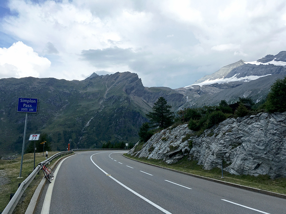
Unusual weather makes for good photos.
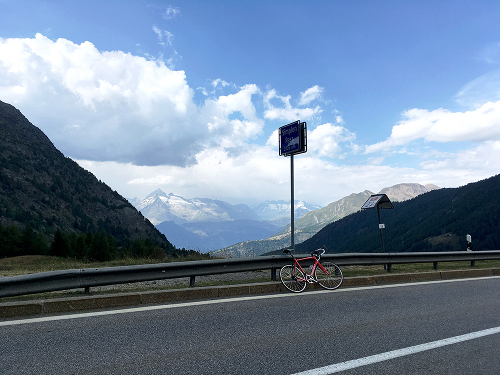
As you see here the weather down to Brig looks fairly reliable. I had a very good speed down to Brig and the road was good enough (some edges there are and I wished I was lighter, but guess I started to loose some weight by now). 28 minutes down to Glis outside Brig. The speedy section only took 20 minutes, max speed 78.3 km/h which I guess is not fast for most cyclists around there, but road is not very steep either (ca. 6.5%).
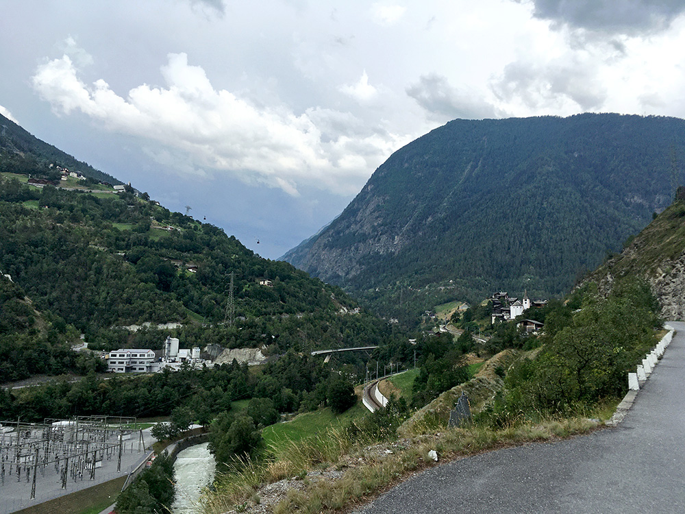
I continued on to Visp (652m) thinking hard about what to do next and if I could get up one of the more planned climbs this day. I stopped in Visp by a shop by the train station, as most other places were closed – I had totally missed that August 1st is the Swiss national day. I had planned to climb up to Giw (1962m), which is a demanding climb right up from Visp (and maybe even try and check out the gravel continuation to Gibidumpass/Gebidempass (2201m), which I have heard should be difficult (if possible at all) on a road bike. However, the weather did not look encouraging at all. It was very hot and at the same time very dark skies ahead as I went on my way up to Stalden, but not up at Giw, and I figured that might quickly change (as it did).
I am looking up to Stalden and the Saastal here on the alternative road to Stalden (not allowed for cars, but luckily it is all asphalted). It looked very bad and still it was either there or up to Giw that I had to choose. I said to myself where it is bad it will get good and also reasoned that if the rain had been there and the roads were wet I would be going up which is never a problem on wet roads and I would have to stay the night up there anyway somewhere.
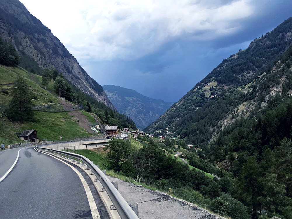
I continued up the Saastal in a fair speed as I was getting increasingly worried about not getting to a good place before the weather would get bad. I stopped for a final photo looking back and now indeed it looks the other way around as if the bad weather was where I came from, so I was right indeed so far. I managed to get up to Saas-Balen (1487m), but saw no place to stay at on the way there (and I knew there were not much before). I stopped at the roundabout in Stalden where I once had stayed a night at the hotel, but it was closed down.
I asked at a central hotel in Saas-Balen, but it was fully booked and the lady there was thinking much were fully booked in the valley, but suggested I went on to Saas-Grund (1554m) and even if I had planned to make a climb up from Saas-Balen and it would be perfect to stay there, the way to Saas-Grund is not so long and I had planed a second climb from there. After fooling around for a while (with only some light rain at Stalden and on the way here) I got advice to try to ask at Hotel Bärgsunnu, which looked like it was full too and the people there were very busy, but after some checking they had a room for me (a big one). I also got in time for dinner and it was the best food I had on the whole tour and the people here were very nice. It was not very expensive either, so can really recommend it!
