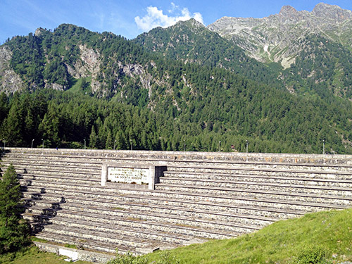
I never bothered to cycle up the few hundred metres to the dam in the late evening, but now in the morning it was great sunny weather, so I went there to have a few photos. The road is gravel for the last 100m to the Lago Alpe dei Cavalli (1496m). It says on the dam sign that it was built 1922-24 (if I understand it correctly).
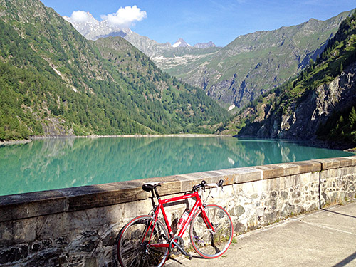
Lovely views here, but no road goes further along the dam.
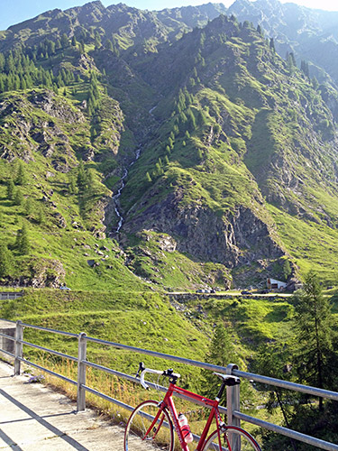
Difficult to capture the whole mountain and my bicycle in the same photo … .
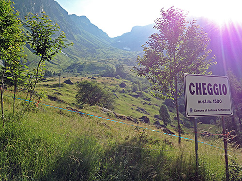
Then I had a nice ride down the valley. Here I stopped for the Cheggio sign (placed clearly lower than 1500m as it says). Up behind it is the Passo del Fornalino (2345m) – seems like a steep walk up there.
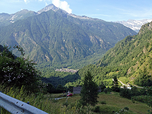
Below in the photo here is Antronapiana and up the valley to the right (which one does not see on the way down) is the road to the Lago di Antrona (1073m) and the Bacino di Campliccioli (1352m), where the road up the Valle d’Antrona ends.
Fairly quickly I was down at Villadossola and then continued on the smaller roads on the same side down the Ossola valley. I stopped by a small firendly alimentari in Pieve Vergonte and had a fine sandwich, yoghurt and coca-cola. Then continued down to Ornavasso (209m) and now it started to get hot outside just in time for the terrible climb up to Alpe Rossonbolmo (1610m).
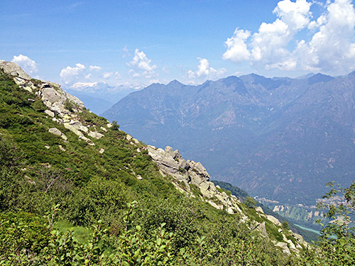
The small road from Ornavasso is easy to find and you will soon pass by an old interesting church building (see photo below). After a short while you reach a fork where a sign says Cortevecchio and you should go up there (or maybe you should not, really). (The road ahead goes to the Boden sanctuary.) This road is now quite narrow and a little less good, but it sometimes improves a bit and keeps on like this for a while. A big problem I had though were flies in front of my eyes most of the time draining more energy from me. At first it is not so very steep and I wondered where the problems would arrive as I had read and heard that it should be a feared climb. Nothing much to fear but the flies thus far.
The real problem only comes after ca. 8 km and up at 900m height to where the average gradient is just below 10% (hard, but not that hard). Then the road surface becomes less and less good and the road becomes much steeper and there are concrete parts and there is broken asphalt and there is debris and potholes etc. I fighted well for a while, but eventually I found that I had to give up. It felt like I could have made it, but it was just a little too much for me in the heat and the irregular road which many abrupt hairpins where it sometimes was even steeper. The first really steep section comes after it has already gotten over 10% on average and for 600-700m it was above 20% on average with this bad surface. I had to walk the last 200m of this part. Then jumped on and managed to cycle a bit more before the pulse was close to max again. There were one more ramp I just shook my head at and did not even try (it is also the place with the worst surface and it is ca. 25-26%) and it is the last ramp before reaching the Cortevecchio sign below. If you get to this sign cycling on a road bike with 39-28 like me, then you are very good!
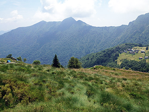
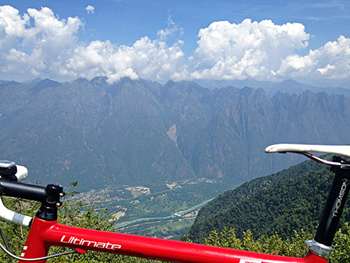
From the Cortevecchio sign it is actually possible to bicycle again and the road will indeed improve now again. There are a few water drainage places and such and a few steep places left, but with some determination I got up to the top (the very last bend was a bit hard). Having gone this high up, I could as well drag my bicycle up to the ridge just above the road end to have some better views and hence the photos above looking down the Ossola valley. The photo just next here shows Alpe Cortevecchio below.
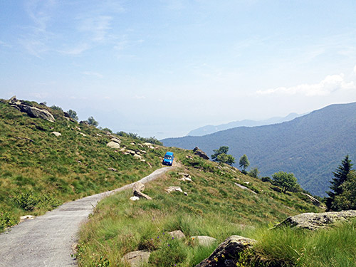
The blue car parked at the last hairpin before the end. There is a small house just a little after the end of the asphalt road.
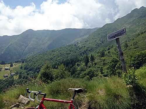
And here is the old Rossonbolmo-sign.
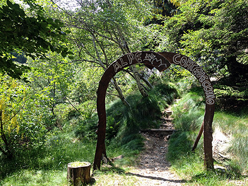
If you get to see this sign, then you have been brave! Guess most would get up here on a mountain bike though (if cycling), even so likely not a piece of cake. I think I might have had to even walk down the ramp too as it would have been dangerous gambling to try and bicycle down the 50m here. The rest was fine, even if slow initially.
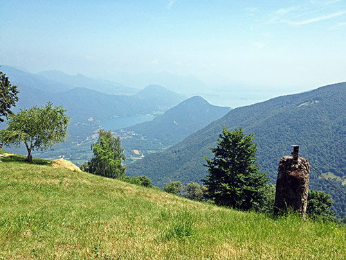
And there is at least this place on the way down where you can enjoy lovely views over Lago di Mergozzo and Lago Maggiore.
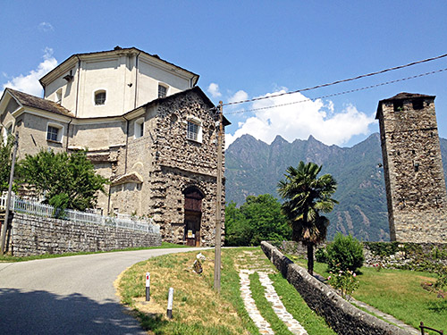
Back down to Ornavasso/Urnavass (local name)/Urnafasch (Walser name) and here the Chiesa della Madonna della Guardia.
I continued down to Gravellona Toce at the end of the Ossolo valley. I stopped just before to clean the bicycle at a gas station with high pressure self-cleaning as usual. Then had an ice cream in the city before continuing to the Lago Maggiore once again. I came to Baveno (204m) where there should be a road up to Il Mottarone, but I was not sure I had come to the start so I continued all the way to Stresa, where there is a clear sign for Gignese, which should be on the way up there.
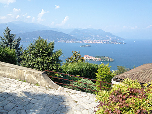
I had fine views from the start of the climb as you can see here. The road was good and not particularly steep. It goes up to where one could join the motorway, but it also continues up the mountain. Just as one arrives in Gignese there is a sign for Mottarone and I then followed those signs (apparently one could take a slightly shorter way up too). After Alpino the road becomes a little less good as it then enters the Parco del Mottarone, where cars have to pay to pass by (not sure I saw anyone collecting payments when I came there though). The road up from here is very much a wide forestry road of varying quality.
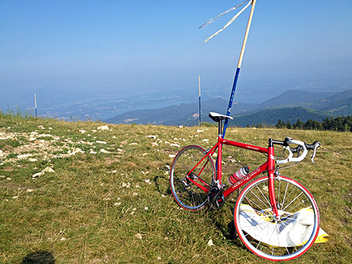
Il Mottarone is a famous mountain visited four times by the Giro d’Italia (always with an Italian first to reach the top) and this was likely the most famous climb on my tour this year that I had not done before (and the most famous left in the Alps for me to visit). Just where one comes up through the woods one join the main road and soon reaches the top. I had the idea of trying to get to the actual top of the mountain and had noticed that it looked like there were concrete pavement to the top.
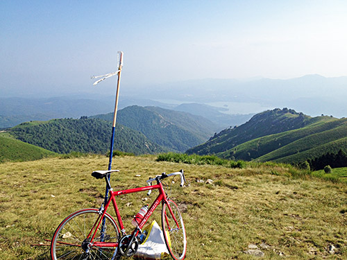
I found the narrow little concrete road and it was in a very poor state, but I nonetheless was determined to see if it was possible. This short climb up to the top was perhaps as bad as the worst part of the Rossonbolmo climb, though a little less steep, and only by sheer will and not thinking too much about the health of my bicycle, I got up there. I even had to deal with a van coming down approximately exactly as wide as the road, but somehow it worked out.
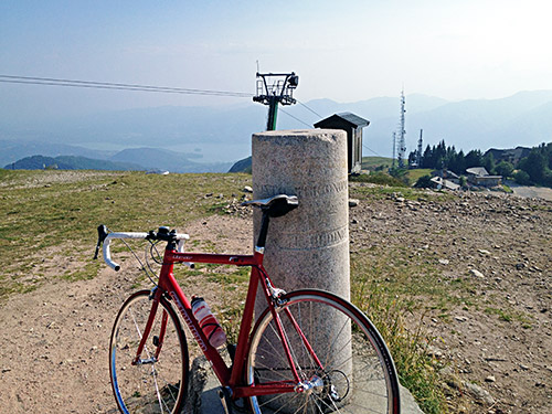
Here is a photo from the Punta Trigonometria – Vetta Mottarone (1491m).
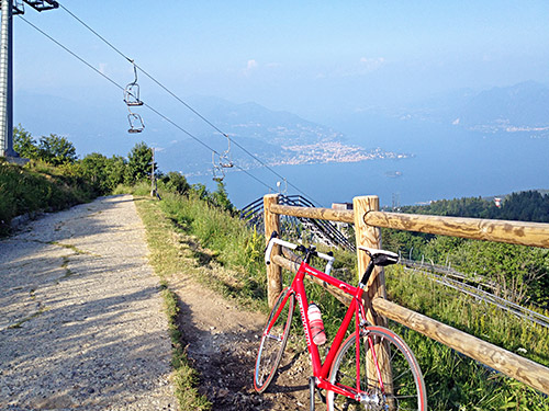
And here you see the last stretch up of the concrete road (that of course always looks better in a photo than in reality). You can see an attraction just outside the road (apparently not at that time in operation). And you have the lovely view over Lago Maggiore looking north toward Switzerland.
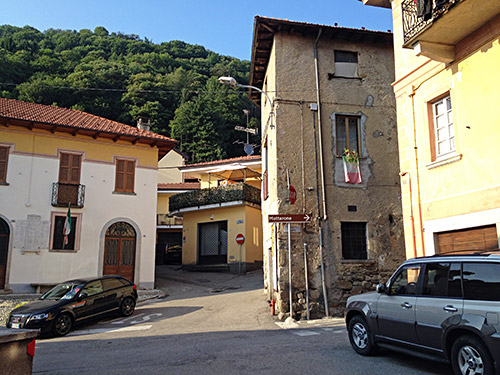
It was a much smoother road down to Omegna (296m), which was very nice to descend. I did meet one or two cyclists going down here, but it was certainly not a busy road. Some local farmers (?) were sitting out by a field and drinking beer as I passed by (looked very nice actually, so just have to mention it as it was like a postcard type scenery there). Down in Armeno I stopped in the centre by the grocery for a final stop for the day having a coca-cola and something else. Took a photo as I saw the Mottarone sign there pointing to the road I had come down on.
I continued down to Omegna, almost back at Gravellona Toce again, but I were heading southwest now. Another cyclist passed me by just before Omegna, where I took it a bit easy. The road out was easy to find and soon I caught up with the cyclist again on the climb on the other side of the Lago d’Orta up to Cesara (464m) and now I was all of a sudden going very fast. Then came another cyclist in a good speed that the other guy had managed to hang onto as the fast guy arrived only when the slower guy had reached the high point. And as usual Italians are fast downhill, so I had to press hard to hang onto them, but when closing in on Alzo (377m) I let them go as I was anyway going up there.
Now the evening was arriving, but I had one more climb to do – Colma di Valpiana (870m). I went up via Boleto and through the village as I had noticed it would be possible and actually the most direct way, even if there is a smarter way around it. It is hard to find the road well marked on any map and it is even harder to find out if it is really asphalted all the way. It is indeed well asphalted on this side. It is however a bit hard at times. It is a highly irregular climb with some steep ramps and then even a downhill before the highest point. There the road is not so good and a bit down the west side there is indeed a gravel section I had not noticed when studying the road, but the part is quite good, so no problem.
Eventually I came to Valpiana (710m) and then (because it was too late to consult maps) I took the most obvious road going south via Zuccaro, where I hoped to find a place to stay at for the night as I passed by, but did not see any place and continued down to gloomy Valduggia, but no place in sight there either (and it surely did not look touristic, more like a bad suburb), but at least got some cash here. Then down to the city of Borgosesia (345m), which I had hoped to avoid to stay in. Asked a man for a hotel and found the one he mentioned near the centre. It was a bit more expensive than usual and not so good, but the lady there were nice. Eventually I found the pizzeria she had mentioned, but did not first understood it as it was marked as a china restaurant, but was apparently both. They were ok and I even had a nice ice cream on the town while walking back to the hotel.
