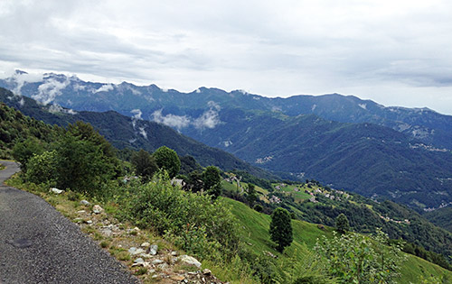
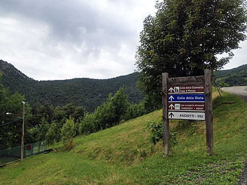
Now it was finally time for a day with less good weather. This was the worst day apart from one day later in Switzerland when I did not bicycle at all. I said goodbye to the nice family and cat at La Lunelle and went up the somewhat steep and lonely road to Colle della Dieta (1452m). The last part on this side the road is very narrow up from Monti (where the only sign for Colle della Dieta is shown, below), but with a decent surface throughout. There are decent views along the road and it would likely have looked lovelier in better weather. On the way down to Viù (765m) it is also very nice. (The first photo here were taken near the top and the second earlier down at Monti.)
However, when you get down to Viù the road is horrible in the Val di Viù. The roads are generally in a miserable state throughout Italy as of late, but this one has to set some new record in being left to deteriorate. I guess the roads here were in a better state before the first automobile was built. Sometimes I would not recommend people even with mountain bikes to try out this main asphalt road up the valley and you need good shoes if you would chance to walk up along the road. The roads in the Torino area seems the worst in Italy (roads were much better on Sicily, even though they on Sicily have a big business in creating signs saying ‘Strada Interrotta’). A bridge had collapsed and they only half-heartedly made it passable, while another bridge were on the way to collapse, but guess there is no money these days for any repair.
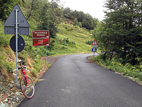
Here the new asphalt at Colle della Dieta (the exact height of which is hard to determine with the poor official Torino CTR maps).
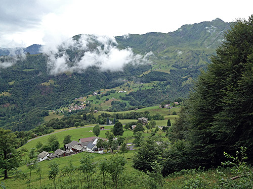
In this photo is the nice Viù side with village of Tornetti shown.
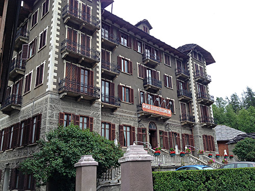
On the way up the hopeless Viù valley where the car drivers understand why you zig-zag your way up the asphalt road. At Saletta (a tiny sorry village on the way up) the rain finally came. I took shelter here for a while hoping it would get better. When the rain almost ended I continued again, but the rain never really ended. I got up to Usseglio where I decided to have lunch at one of the two possible places. I went in the old hotel here and it had a lovely old charm about it. It am sure it have seen better days though. I took my time and hoped the weather would improve and the rain to stop. But as I finally decided I had to continue it was still raining. Part of the whole reason of going in the Piememonte western Alps again was to go up here on a curious road I had found out about almost by accident when I noticed a photo on Google maps showing the road. Then I found one online account of the road by some mountain bikers.
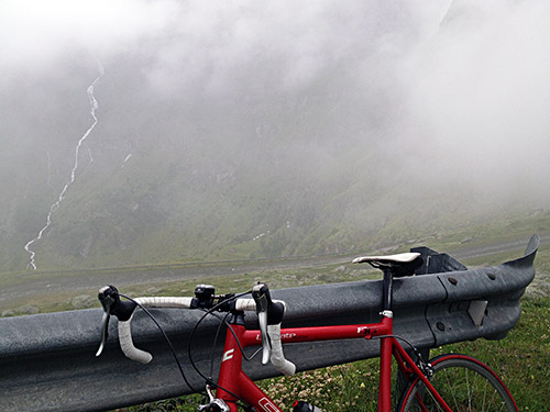
I just had to go up here and hope for the best as I needed to anyway do something this day. The road is going off the main road toward Lago di Malciaussia (1813m) just after Usseglio in Villaretto (1285m) and soon becomes a private road. I had remembered Usseglio as laying two hundred metres lower, so got a bit confused later with the relatively short climb. The rain was only very light for the most part, so it was endurable, but made for a cold trip up the mountain.
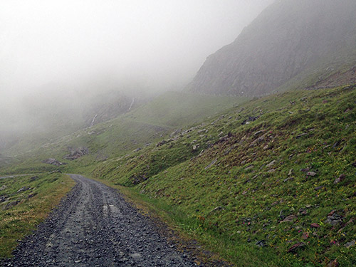
After some time going up through a valley with some cattle and a few houses, I got to the end of the valley where an ENEL dam road starts and there is a bar across the road that is easy to pass over/under by with a bicycle and from there on it is the best asphalt up from Viù. This road goes to Lago Dietro La Torre (2369m) and is mostly popular with walkers wanting to continue to the higher lake – Lago della Rossa near the French border. The road is only visible on the Torino CTR maps at all – forget dubious map services such as Google maps, that usually have not much clues about anything.
The photo here and above shows where I turned around. The gravel road continuing to the Lago Dietro La Torre turned out to be a bit too bad for a road bike. I walked up one serpentine just to see if the road got better and where the Alpe Bessanetto really were supposed to be that I had seen on the CTR map. Looking on various satellite images suggests that there had been a house recently where there were now only a tractor parked in the next turn after the one here, where there is some old stone house remnant, that might be the Alpe Bessanetto.
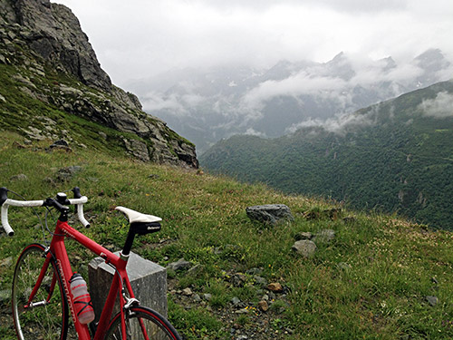
The asphalt ends at 2022m height (had to double-check with several maps to make the height clear), which was what made me curious as it thus is one of only around 200 roads or so above 2000m in the Alps that is asphalted and I had gotten curious about whether my Hungarian acquaintance, Gabor Györgi, who had set out to to climb all asphalted roads in all of the Alps/Europe above 2000m might have missed a few obscure ones, like this. Anyway +2000m climbs are always interesting.
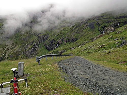
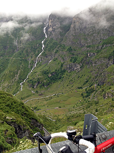
The view were great and they opened up a little as I was about to go down again. In nice weather, with slightly better surface to Lago Dietro La Torre, this would be a great climb! I was happy to have been here despite the weather. A sheep came rushing over the road high up here with one leg in bad condition – tough life up here for the sheep. Lower down I said hello to one of the shoddy looking shepherds. It was cold and the rain never fully stopped making me go down slowly as the day was long.
Down near Viù a woman came walking up along the main road in some old local dress that looked like she had worn for 100 years or so. It all fitted in well with the mediaeval conditions of everything up this valley.
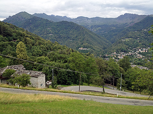
Now, I was happy to be able to climb away from this valley. Lago di Malciaussia I will have to visit another time (if there is still a road here then). I was wondering if they would sell any road bicycles in Italy from 2014 on as it seemed that Italy will no longer be a place were it is suitable to use a road bike at all.
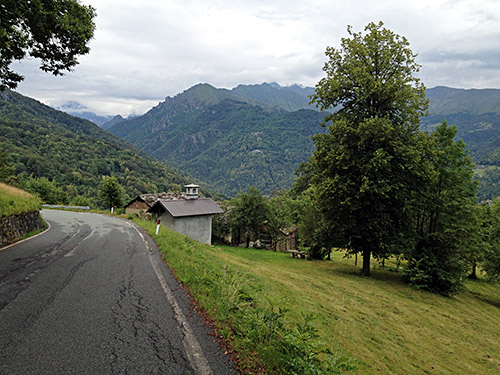
The road up to Colle del Lys/Col del Lis (1310m) is better though and I tried to get up in a decent speed to get a bit warm, but stopped for two photos.
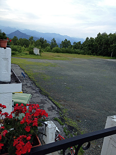
At Colle del Lys/Col del Lis I turned off on a small road to see another nearby pass in the last photo here, the Colle della Frai (1337m). Here were also an restaurant/albergo, so I asked if they got a room and they had, but they sounded slightly surprised, but I was not sure I wanted to go and ask elsewhere now, so decided to stay here. In retrospect I should have gone back to Colle del Lys to ask at one of the two places there as this was one of the two worst places I stayed at this Summer. The men came across as if they have never seen any hotel guests before and looked more like a rural mafia gang that just temporarily stayed here. Killed a cockroach in the room that was running around. Got some food that was ok and could sleep and get a shower, but it looked like the room had not been in use for ages. I survived and the guys were nice enough. (The worst place was in France, of course, more on that later.) Not the best day, but it cannot be sunshine all the time.
