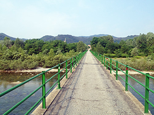
This day I was going the more or less same roads as in 2008, but in the other direction. this is basically the only way to go up in the mountains through Italy to get to the west Italian Alps from the central Alps and I wanted to stay up in the mountain or close to them as much as possible. I was going south trying to navigate only by memory, but as I was taking another route out of town than previously I went a bit too far south, but luckily decided that maybe it was best to cross over the river here in the photo and that was about the last place to go west before I would be out on the Po plain and having to cycle back again. This was a very tiny bridge that still allowed cars to cross. Then I took the big road up to Pray – actually went to after Pray and back again to Pray (434m) to visit a grocery to load up a bit more for the first climb of the day. (The big road on the south side of the river is actually more hilly and a little longer than the narrower road on the north side.)
After the usual sandwich, coca-cola and yoghurt, I went up the road to Portula via Flecchia. I had figured out the road via Castagnea should be slightly shorter and steeper, but forgot it when coming out on the main Zegna road after Portula and then followed the Panoramica Zegna for almost all its length. Soon you get to the big factory where Ermenegildo Zegna produced wool fabrics from 1910 onwards (maybe that would be something I should have looked closer into for the Winter that is now upon us here in Sweden as I write). (Nice jacket on their site, but $4000 might be a bit too much for me … .) I did not realise that this was what the factory was for until now (even though the I have indeed heard of the brand name before). Anyway, here you continue up the mountain and soon the road is getting more regularly steep (but never very steep).
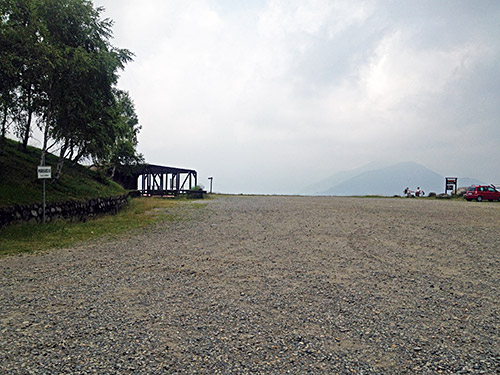
It is a fairly nice road up here even though the surface has deteriorated a bit since 2008. Unfortunately the weather never really wanted to get as good today as back in 2008 when the weather was perfect. The mountain road properly starts at the Bocchette di Caulera (1056m) then it is a bit steep up to Bocchetta di Stavello (1204m) and then it is just a nice and normally (in fine weather) very nice and scenic route (one of the nicest mountain roads for cycling anywhere)). Next comes Bocchetta di Margosio (1331m) where one usually have the best views on the whole road as one can get very good views of the Monte Rosa (highest Italian/Swiss mountain) – the summit (Dufourspitze just inside Switzerland) is 4634,0 m as I just corrected the english Wikipedia entry to according to the Swiss official maps). Monte Rosa would have been visible in fine weather in the photo above here. Then there is a short descent to Bocchetto di Livera (1293m).
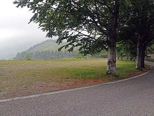
The photo above was taken just after reaching the highest point of the road at Bielmonte (1500m). I met one cyclist up here and maybe one more along the road, but it was mostly a lonely road this day. This is like a cyclist paradise in nice weather otherwise. Soon hereafter one arrives at the most know pass up here – Bocchetto di Séssera (1373m), because you can here actually continue on the other side on roads, but they only have gravel surface of varying quality. It is possible to get north from here via Bocchetta della Boscarola (1423m) to Valle della Sesia, but the road might be a bit too bad for a road bike (not sure, but many kilometres of gravel).
After passing by small pass called Sella del Cucco/Capanna della Sella (1262m) I got down (866m) to the road coming up from Biella to Rosazza and Piedicavallo. Here starts the interesting continuation of the Panoramica Zegna. I filled up water and looked on the interesting A4 paper sitting on the sign below, which says the road is closed, with a notice. I guess this was just like usual, that is nothing much to worry about and continued.
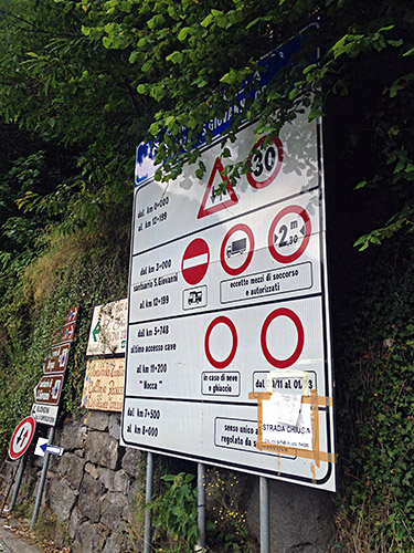
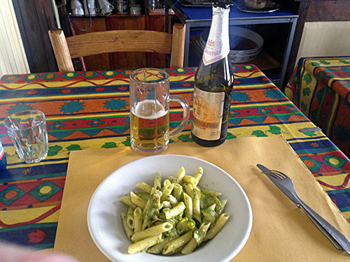
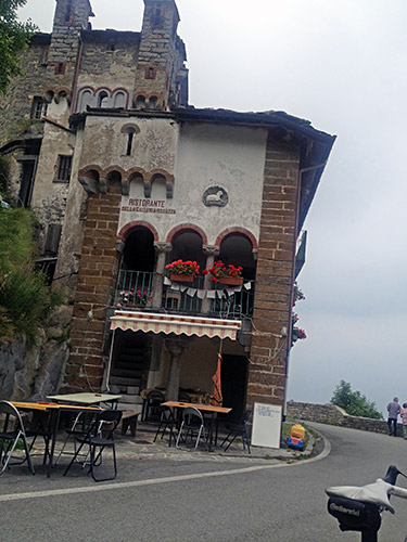
I did notice after passing by San Giovanni that there seemed to be risks of falling stones from a place along the road and that might be why the road has been so-called closed. It is a somewhat steep and narrow road up here which many cyclists know of. At the top there is an old tunnel. Just before the tunnel there is a restaurant, that I remembered from my previous visit as I bounced into two cyclists there who had been to the same Maratona dles Dolomites as me. I hoped the place was open and indeed it was as it was perfect time for lunch here and I decided to indulge in a good lunch here with pasta and a nice beer (not so cheap, but nice place, the chef was from Sicily though, but they are also good on food). Food and beer below.
Stopped for some more photos before I went down even if it was not very warm up here now.
Galleria di Rosazza/Colle della Colma (1495m) was not long ago very bad surface on the west side down to Oropa, but apparently the road was improved just a year or so before I went there in 2008 and it is still good even if the drainage gullies on the way there are of the nasty big type with irregular big stones.
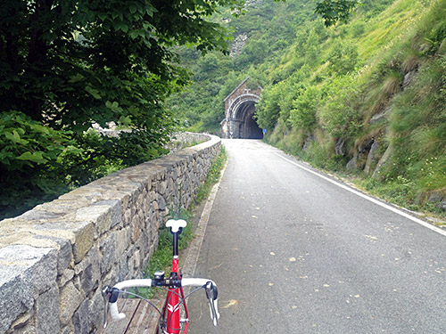
The tunnel entrance from the restaurant on the east side is seen in the photo here.
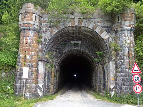
And the tunnel entrance from the west side is in the photo here.
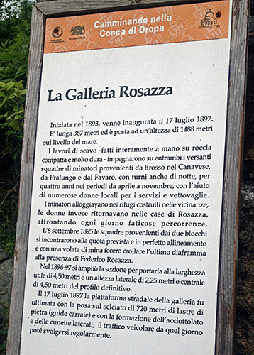
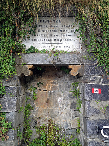
As the sign says, the tunnel was built 1893 to 1897 and is 367m long, but the height given on the sign is from a point a little on the way down the west side, so the true height is more like 1495m.
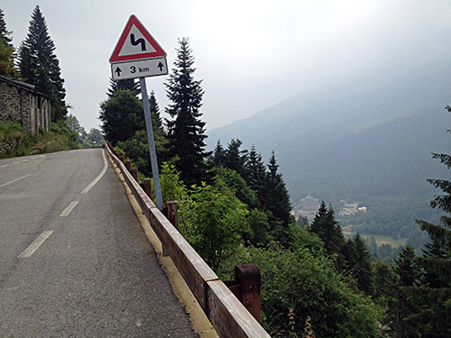
Here you can glimpse down the valley to the Oropa Sanctuary. It is a huge monastery complex, almost the size of the Vatican with all the buildings around. It has also served as the finish in Giro d’Italia, most famously in 1999, when Pantani passed by half the field on his way to victory there (one week later he was out of the giro as he failed a anti-doping test). Giro d’Italia is supposed to revisit Oropa in 2014 to honor the 10 years that has passed since Marco Pantani died in 2004
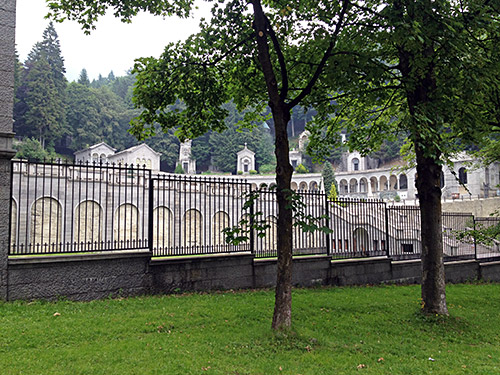
In this photo on the contuating Zegna road from Oropa (1150m) you see just one of the annexes.
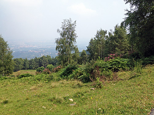
All the time riding up on the Zegna road one has hazy views down over the Po plain and see Biella most of the time. This is a photo from how it could look down toward Biella from this road now at ca. 1035m.
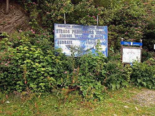
Here is the sign that made me realise that this is really supposed to be the same road that I started out on earlier this day down in Pray. Unfortunately the last bit of the road to Andrate on the ridge toward Valle Aosta is only gravel. I first thought that maybe it had been asphalted as it was asphalted a bit longer than I thought it would be, but then I turned around and went down the last asphalted road before. Someone had painted an arrow on the road pointing down there. Now that little badly asphalted road (even some concrete) turned out to be very steep and narrow, but it becomes easier. Then I got confused: I should take another minor road going toward Andrate, but the one that came up looked more like it went to a house there. Later I learned it was the right one. So now I had to go down a bit further and up again via Donato (700m) (that one could otherwise bypass above).
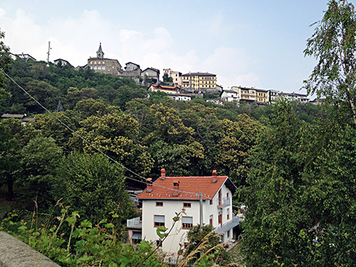
At Croce Serra (853m) I was up at the last high point of the road to Aosta. I stopped in Andrate at the shop I had stopped at before, but this day it was quite busy and not so friendly as before, but I had something to drink and maybe a chocolate bar and banana. I took a photo of Andrate as I left. The road is first very good down to near Nomaglio (which was part of the Giro I believe), but then the road is a bit small and steep as it goes down to Settimo Vittone (279m) by the main road up to Aosta. I took the private road short-cut at the end, but of course met a car on the narrow road, but all went well.
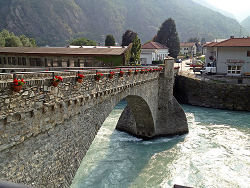
Now it felt like I finally had reached the western Alps and so it really is. Crossed into Aosta at Pont Saint Martin (347m) and continued to Hône (348m). Here’s the little bridge over to Hône centre.
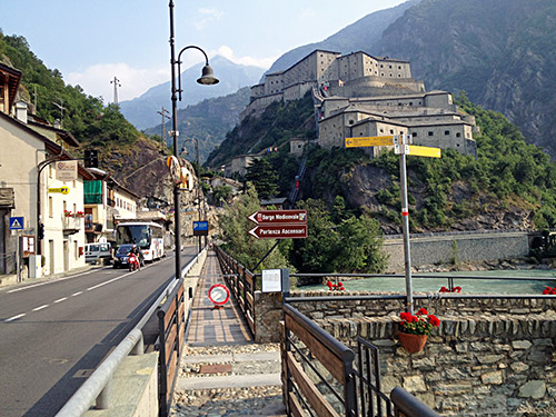
At Hône the mighty fortress guarding Aosta, the Forte di Bard, is very strategically located as there is no other meaningful way into Aosta from the south (and besides the small and big St. Bernhard passes no other way into Aosta. This is the only easy way in and thus well guarded rather obviously.
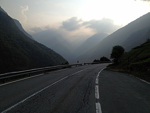
I stopped at a little hotel in Hône and decided to stay there for the night even if it was not very cheap (€50 with breakfast). Then I could leave my bag and climb a bit more easy up the last climb for the day and surely it turned out to help not having the backpack for this one. So even if it was a bit late I felt at ease as I knew I had a place ready for the night and took it easy up the Valle di Champorcher. Stopped for this lovely view here. Seemed really inviting to climb up here in the wild landscape, but I have to leave going to the end here for another time.
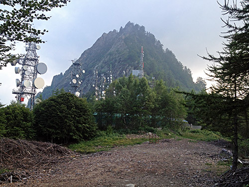
My goal today was to climb yet one more +1500m asphalted pass, namely Col de Courtil (1511m). The last 4 km is like 12.8% on average. Only a handful of roads are longer with a higher average gradient. Here it really helped to be without the extra weight! The photo is taken at the lowest point of the pass (one has to go to 1517m first where the asphalt ends and not sure the pass is technically here, but it looked like it).
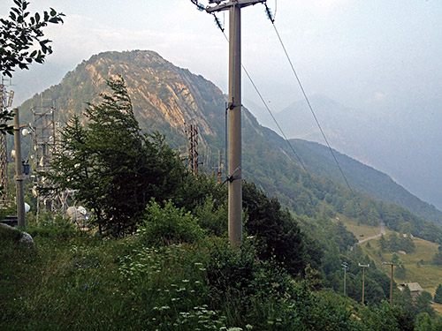
I spent some time looking around trying to find a shred of evidence of a sign giving the name and/or height, but all in vain. I also was curious to see if there were indeed a path down the other side higher up at the masts, which a map suggested. This photo is taken as high as you can get rolling your bicycle at ca. 1550m.
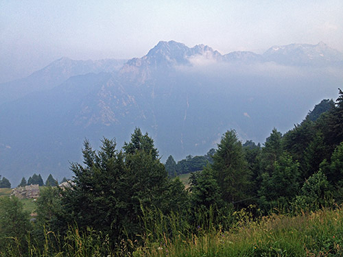
The views were hazy up here, but still quite nice.
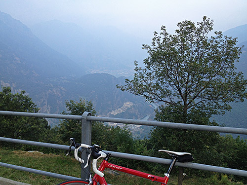
Then I had a few photos on the way down from the best place for views along the road (Biel 1088m).
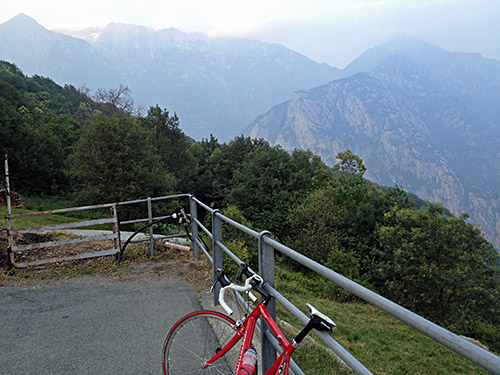
The second photo.
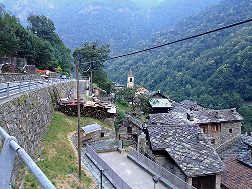
Here I am down at Pont-Boset/Pont-Bozet (775m) where I went through the little village as it looked nice. There had been two cyclists coming up passing me by just before the turn-off for Courtil and Pont-Boset and I noticed they went down here and maybe they were staying here for the night somewhere (probably cheaper than down in Hône). Then a nice trip down to Hône just in time before it got dark.
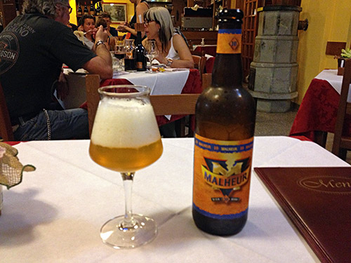
After showering and changing clothes (as usual), I walked down to the pizzeria in town not far from the bridge I had crossed earlier. It did not look too good I had thought, but (apart from the silly boy of the family serving me ;-)), the place was quite good. Had a good pizza and a very great Belgian Malheur beer, which is about as good as pale beers get. They got taste in this corner of Italy – even in Belgium it is hard to find them. This was the big bottle – quite enough with one bottle of this!
