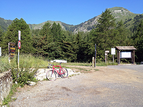
The day started very nicely and even up at 1543m height it was already warm in the morning (perhaps I should have been up a little earlier). In the first photo here I am looking up at the Rifugio Monte Grai. Unfortunately the asphalt runs out at ca. 1550m just after the pass and he gravel road continuing up is not good enough for a road bike.
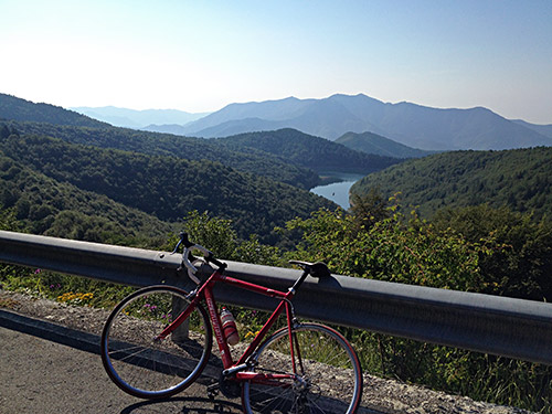
I had a nice view over Lago Tenarda, though the forest is dense here around.
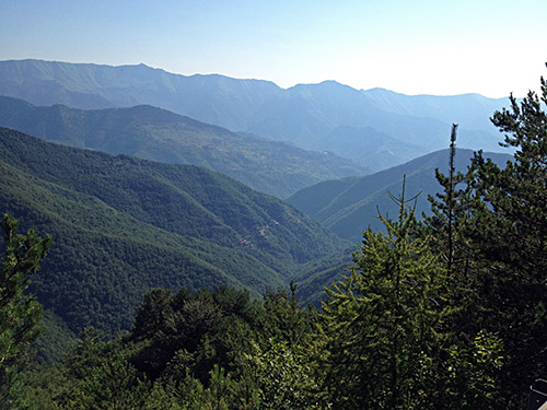
Here is a glimpse down toward Triora to the east on the way down to Colla Langan (1124m).
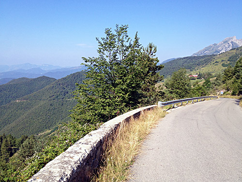
I met one or two cyclists on the way down from Colla Langan to Pigna (240m).
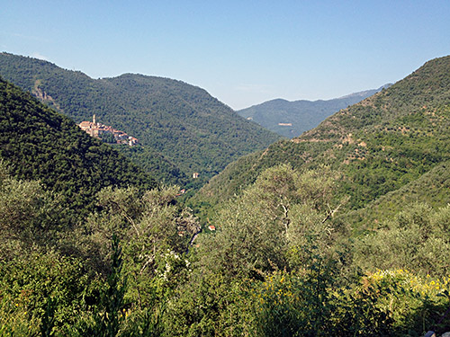
Here you see the nicely situated village of Castel Vittorio. Below Pigna (208m) I had planned to climb the Gola/Sella di Gouta (1213m), which looks like an ambitious +1000m climb, but decided I had to skip all things not necessary as I knew I had not much extras so to speak for the last 4-5 days (though plans later had to be somewhat drastically changed anyway as you will find out). I continued down to the turn-off for Rochetta Nervina (69m) from where I climbed up to La Colla (432m).
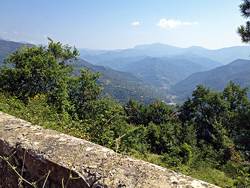
Just before reaching La Colla, I decided I had to still my curiosity about the road continuing up along this ridge and followed it to near where the asphalt runs out at ca. 545m height, but could not find any other pass up here (at least not on the road itself). Anyway had nice views and the photo here was taken along this road.
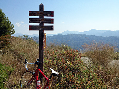
The road down the other side of La Colla is hilarious (just as the road up to Ciaixe – the last mountain road before Ventimiglia and which could help one escape going through Ventimiglia). One really has to take care not to get into trouble here as it is very steep and barriers have mostly been destroyed when they could be found. Very steep, twisting and narrow! Guess the road over Brunetti is similar to this one (they share the last part down the valley (43m)).
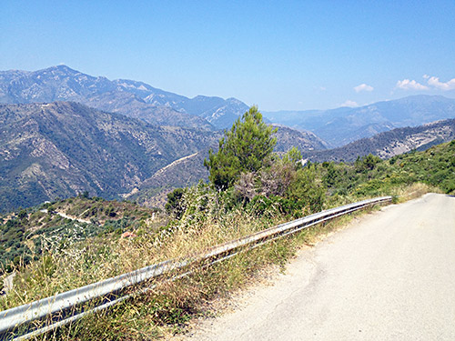
I went down toward Ventimiglia again, but took the first road crossing the river delta to Bevera (35m) where I had my first stop and had a sandwich, yoghurt and soda (not sure it was coca-cola). Here it was now rather hot, but so far I have had a a rather easy start. Then I took a road that is badly kept up (for some reason) that makes for a good, nice last short-cut inside Italy to cross over to France by the sea. From near Calvo (51m) there is a bridge over the Bevera river (not seen in the local maps) and on the other side you follow the sign for Latte and here starts a somewhat steep, short and bad road up to another minor unnamed pass at Sant’ Antonio (165m).
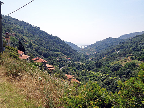
From the pass the road is better down to Latte, where everything suddenly becomes much more busy as you are now out on the main road to France. I had thought to take a final coffee before leaving Italy, but I was out of Latte, before I could look around and then there were no more places to stop at. The old big road (that doesn’t use tunnels) climbs a lot here before it dips down to France at Grimaldi.
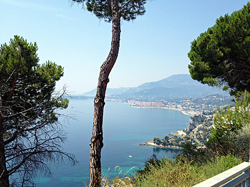
I stopped for a photo of the nice views over Menton before crossing into France, where it becomes very dead in every way (no open shops, no bars, only a few stressed individuals and people working lazily on luxury houses). I took the higher road through Menton and likely there were a little more activity down near the beach. Menton was no place to stop at, so I just continued in horrible heat now up the long, long climb to Col de Castillon (728m). Never has a pass at only 728m seem to require as much climbing, but I was also starting at sea level and the road up via Castellar (367m) descends to 283m height as it joins the main road up to the pass.
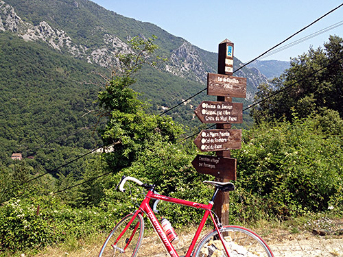
Some sign suggested the road down to Sospel was closed, but never saw anything to suggest it was closed as I went down there. Col de Castillon is a pass also at the tunnel below (706m) and (there is an earlier big tunnel not allowed for cyclists further below), but I also went up to the true pass for a photo of the sign there (not so great views though). It was terribly hot up here (like 37 C in the sun) and no water to be found along the road!
Tired I came down to Sospel (348m), where the grocery had not yet opened, but I went in a small bar here where they were nice and got an ice cream and water. Then the shop had opened so went in there to get a coca-cola too and remembered to get money as I was running out of them. For some reason I decided to cross the river and follow it up toward Col de Turini (1604m), but I should not have crossed the river. When I thought I were lost I asked a girl about the road and she suggested I was taking the right way to get back on the main road to Col de Turini and I was.
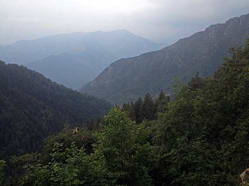
I have only once before been to the Col de Turini (1604m), but then I was descending to the pass from the L’Authion (2024m) and then continued down another road, so I wanted to climb this classic road from Sospel and over to the Vésubie valley which is also a road I had not bicycled on before. The climb from Sospel is quite varied and nice, but it does become a bit more boring higher up as it climbs through a forest. However, the temperatures today had really gone high up and was now creating thunder and the rain was soon impossible to avoid. Of course the rain started to fall heavily where there were no shelter at all, but after a while I managed to get to a shelter where even a motorcyclist had stopped to take shelter – it was indeed a heavy rainfall!
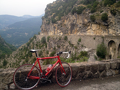
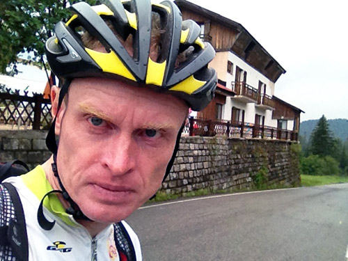
After some time I managed to get going again. There is absolutely nothing to take a photo of up at Col de Turini and is possibly the most boring pass height above 1600m in the whole of the Alps. They have taken down any official signs and only have signs by the three hotels here, so they could get publicity, so I only took a photo of myself (above) at the pass (my iPhone lens had also gotten blurred due to the rain … ).
In the photo here you see that there is indeed some nice sections also on the west side of the pass. The best views are half-way up on each side.
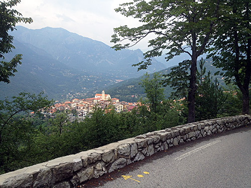
In the last photo for the day you see La Bollène-Vésubie, from where it was three more kilometres down the valley (500m) before I took off up toward St-Martin-Vésubie. There are many interesting side valley climbs up here, like the one to La Madone de Fenestre (1908m), but the only thing I had planned was to try and visit the Col de Salèse (2031m), but the this road is not asphalted for much of the part above the parking at 1678m, but should be possible according to some with a road bike and I have long thought about visiting this pass. However, the weather was not good enough for cycling on gravel roads and it was also getting late now, so I basically had to decide to forget about it yet again.
I hoped to find a decent place for the night in St-Martin-Vésubie (975m), but it proved to be difficult as the 3-4 main places were fully booked and not very cheap either. A cheaper (likely) place in the centre had closed down. I got advise about another hotel, but could not find it at first. Then I tried to go a bit longer on the road up the valley, but nothing there and also tried the road going on the right hand side, but nothing there either. I tried the road (as there were a sign for a hotel) on the other side of the valley going back down (but also up), but it seemed like the place was rather far away along this road and looked like it was placed with great views and therefore maybe even more expensive, so I turned around. After passing by the suggested hotel 3-4 times I eventually noticed it very humbly placed behind a non-signed gate. The hotel was pretty big though. It was also a little cheaper and probably better. Good food, Internet and a nice man running the hotel. Ask the far the hard to find hotel on the main road! ;-) – It is apparently called La Chataigneraie. The owner was a Mac computer guy (like me), but ran his booking system on a very old Mac Classic computer as he had found no good way to transfer it to a more modern system.
